
-
Federal
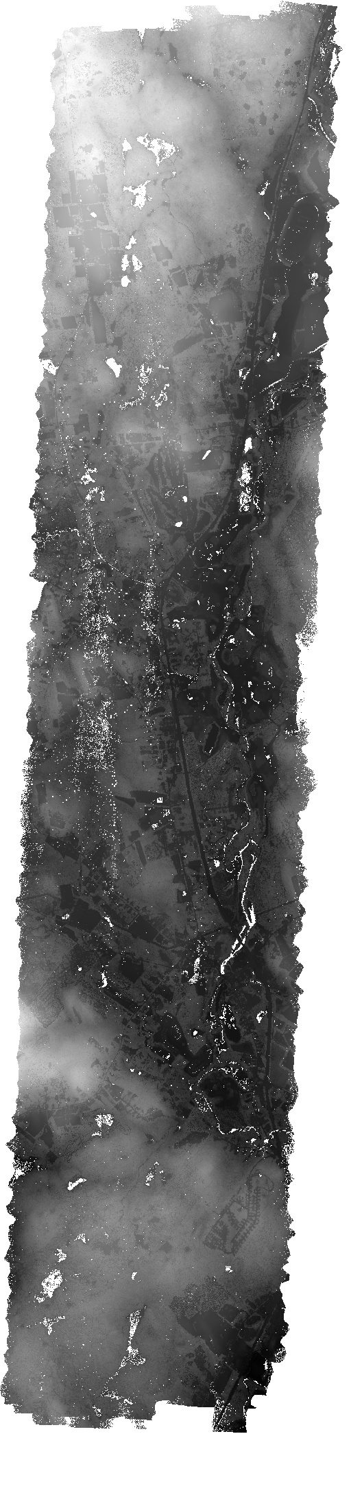
G-LiHT Digital Terrain Model V001
National Aeronautics and Space Administration —
Goddard’s LiDAR, Hyperspectral, and Thermal Imager (G-LiHT) mission (https://gliht.gsfc.nasa.gov/) utilizes a portable, airborne imaging system that aims to... -
Federal
G-LiHT Canopy Height Model KML V001
National Aeronautics and Space Administration —
Goddard’s LiDAR, Hyperspectral, and Thermal Imager (G-LiHT(https://gliht.gsfc.nasa.gov/)) mission utilizes a portable, airborne imaging system that aims to... -
Federal
Landsat-Derived Global Rainfed and Irrigated-Cropland Product 30 m V001
National Aeronautics and Space Administration —
The Landsat-Derived Global Rainfed and Irrigated-Cropland Product (LGRIP) provides high resolution, global cropland data to assist and address food and water security... -
Federal
G-LiHT Trajectory Data V001
National Aeronautics and Space Administration —
Goddard’s LiDAR, Hyperspectral, and Thermal Imagery (G-LiHT) mission is a portable, airborne imaging system that aims to simultaneously map the composition,... -
Federal
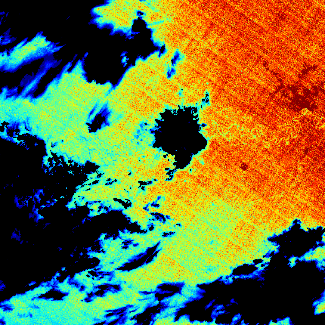
ECOSTRESS Gridded Top of Atmosphere Calibrated Radiance Instantaneous L1C Global 70 m V002
National Aeronautics and Space Administration —
The ECOsystem Spaceborne Thermal Radiometer Experiment on Space Station (ECOSTRESS) mission measures the temperature of plants to better understand how much water... -
Federal
ECOSTRESS Gridded Cloud Mask Instantaneous L2 Global 70 m V002
National Aeronautics and Space Administration —
The ECOsystem Spaceborne Thermal Radiometer Experiment on Space Station (ECOSTRESS) mission measures the temperature of plants to better understand how much water... -
Federal
ECOSTRESS Tiled Top of Atmosphere Calibrated Radiance Instantaneous L1C Global 70 m V002
National Aeronautics and Space Administration —
The ECOsystem Spaceborne Thermal Radiometer Experiment on Space Station (ECOSTRESS) mission measures the temperature of plants to better understand how much water... -
Federal
LPJ-PROSAIL L2 Global Simulated Dynamic Surface Reflectance V001
National Aeronautics and Space Administration —
LPJ-PROSAIL simulated data products are produced through the coupling of the Lund-Potsdam-Jena dynamic global vegetation model (LPJ) and PROSAIL, a radiative transfer... -
Federal
GEDI L1B Geolocated Waveform Data Global Footprint Level V002
National Aeronautics and Space Administration —
The Global Ecosystem Dynamics Investigation (GEDI) mission aims to characterize ecosystem structure and dynamics to enable radically improved quantification and... -
Federal
EMIT L2B Estimated Mineral Identification and Band Depth and Uncertainty 60 m V001
National Aeronautics and Space Administration —
The Earth Surface Mineral Dust Source Investigation (EMIT) instrument measures surface mineralogy, targeting the Earth’s arid dust source regions. EMIT is installed... -
Federal
GEDI L2A Elevation and Height Metrics Data Global Footprint Level V002
National Aeronautics and Space Administration —
The Global Ecosystem Dynamics Investigation (GEDI) mission aims to characterize ecosystem structure and dynamics to enable radically improved quantification and... -
Federal
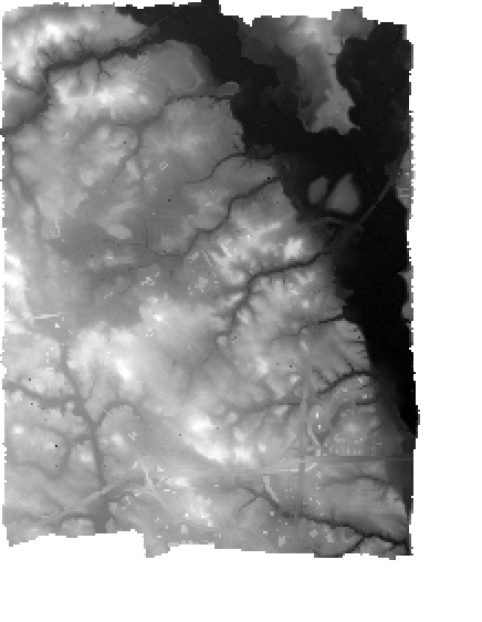
G-LiHT Digital Surface Model V001
National Aeronautics and Space Administration —
Goddard’s LiDAR, Hyperspectral, and Thermal Imagery (G-LiHT) mission (https://gliht.gsfc.nasa.gov/) is a portable, airborne imaging system that aims to simultaneously... -
Federal
ECOSTRESS Tiled Land Surface Temperature and Emissivity Instantaneous L2 Global 70 m V002
National Aeronautics and Space Administration —
The ECOsystem Spaceborne Thermal Radiometer Experiment on Space Station (ECOSTRESS) mission measures the temperature of plants to better understand how much water... -
Federal
G-LiHT Hyperspectral Radiance V001
National Aeronautics and Space Administration —
Goddard’s LiDAR, Hyperspectral, and Thermal Imager (G-LiHT) mission is a portable, airborne imaging system that aims to simultaneously map the composition, structure,... -
Federal
G-LiHT Lidar Point Cloud V001
National Aeronautics and Space Administration —
Goddard’s LiDAR, Hyperspectral, and Thermal Imager (G-LiHT) mission is a portable, airborne imaging system that aims to simultaneously map the composition, structure,... -
Federal
G-LiHT Metrics V001
National Aeronautics and Space Administration —
Goddard’s LiDAR, Hyperspectral, and Thermal Imager (G-LiHT) mission is a portable, airborne imaging system that aims to simultaneously map the composition, structure,... -
Federal
ECOSTRESS Gridded Land Surface Temperature and Emissivity Instantaneous L2 Global 70 m V002
National Aeronautics and Space Administration —
The ECOsystem Spaceborne Thermal Radiometer Experiment on Space Station (ECOSTRESS) mission measures the temperature of plants to better understand how much water... -
Federal
G-LiHT Digital Terrain Model KML V001
National Aeronautics and Space Administration —
Goddard’s LiDAR, Hyperspectral, and Thermal Imager (G-LiHT) mission (https://gliht.gsfc.nasa.gov/) utilizes a portable, airborne imaging system that aims to... -
Federal
G-LiHT Hyperspectral Vegetative Indices V001
National Aeronautics and Space Administration —
Goddard’s LiDAR, Hyperspectral, and Thermal Imager (G-LiHT) mission is a portable, airborne imaging system that aims to simultaneously map the composition, structure,... -
Federal
G-LiHT Hyperspectral Reflectance V001
National Aeronautics and Space Administration —
Goddard’s LiDAR, Hyperspectral, and Thermal Imager (G-LiHT) mission is a portable, airborne imaging system that aims to simultaneously map the composition, structure,...

Official websites use .gov
A
.gov website belongs to an official government
organization in the United States.
Secure .gov websites use HTTPS
A
lock (
) or https:// means you’ve safely connected to
the .gov website. Share sensitive information only on official,
secure websites.