

34 datasets found
-
Federal
SWOT Simulated Level 2 North America Continent KaRIn High Rate Water Mask Pixel Cloud Product Version 1.0 recent views
National Aeronautics and Space Administration —
This dataset includes simulated water surface elevations that resemble the Ka-band Interferometer (KaRIn) measurements by the Surface Water and Ocean Topography... -
Federal
Pre SWOT Hydrology Global Lake/Reservoir Storage Time Series V2 recent views
National Aeronautics and Space Administration —
The Global Lake/Reservoir Storage Time Series is derived from the Surface Water Height Time Series and Surface Water Extent Mask Time Series products. The purpose of... -
Federal
SWOT Level 2 Lake Cycle-Averaged Data Product, Version 2.0 recent views
National Aeronautics and Space Administration —
Cycle average and aggregation of lake pass data within predefined hydrological basins. Basin for each cycle. Available in Shapefile file format. -
Federal
SWOT Level 2 River Cycle-Averaged Data Product, Version 2.0 recent views
National Aeronautics and Space Administration —
Cycle average and aggregation of river reach pass data within predefined hydrological basins. Basin for each cycle. Available in Shapefile file format. -
Federal
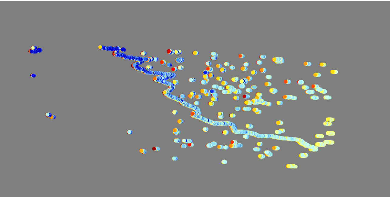
SWOT Simulated Level 2 North America Continent High Rate River Vectors Product Version 1.0 recent views
National Aeronautics and Space Administration —
This dataset contains a simulated river data product to be provided by the Surface Water and Ocean Topography (SWOT) mission. SWOT will provide a global coverage but... -
Federal
CSR TELLUS GRACE-FO Level-3 Monthly Land Water-Equivalent-Thickness Surface Mass Anomaly Release 6.2 version 04 recent views
National Aeronautics and Space Administration —
The monthly land mass grids contain water mass anomalies given as equivalent water thickness derived from GRACE & GRACE-FO time-variable gravity observations... -
Federal
JPL GRACE and GRACE-FO Mascon Ocean, Ice, and Hydrology Equivalent Water Height JPL Release 06.3 Version 04 recent views
National Aeronautics and Space Administration —
This dataset contains gridded monthly global water storage/height anomalies relative to a time-mean, derived from GRACE and GRACE-FO and processed at JPL using the... -
Federal
JPL TELLUS GRACE-FO Level-3 Monthly Land Water-Equivalent-Thickness Surface Mass Anomaly Release 6.3 version 04 recent views
National Aeronautics and Space Administration —
This data set is produced by the Jet Propulsion Laboratory (JPL) as part of the GRACE-FO (Gravity Recovery and Climate Experiment Follow-On) program and derives the... -
Federal
SWOT Simulated Level 2 North America Continent High Rate Raster Product Version 1.0 recent views
National Aeronautics and Space Administration —
This dataset contains a simulated rasterized water surface elevation and inundation-extent product to be provided by the Surface Water and Ocean Topography (SWOT)... -
Federal
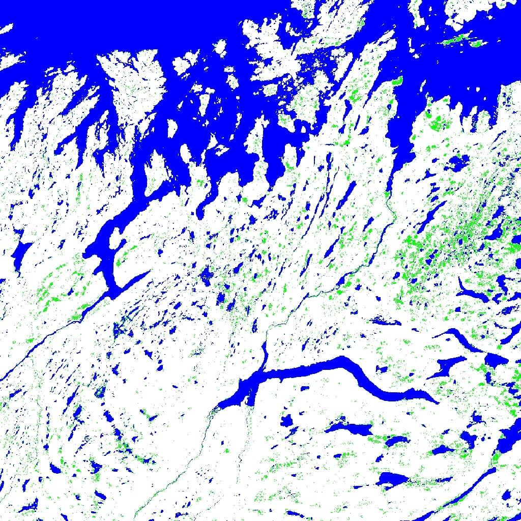
SWOT Level 2 Water Mask Raster Image Data Product, Version 2.0 recent views
National Aeronautics and Space Administration —
The SWOT Level 2 Water Mask Raster Image Data Product from the Surface Water Ocean Topography (SWOT) mission provides global surface water elevation and inundation... -
Federal
JPL GRACE and GRACE-FO Mascon Ocean, Ice, and Hydrology Equivalent Water Height Coastal Resolution Improvement (CRI) Filtered Release 06.3 Version 04 recent views
National Aeronautics and Space Administration —
This dataset contains gridded monthly global water storage/height anomalies relative to a time-mean, derived from GRACE and GRACE-FO and processed at JPL using the... -
Federal
OPERA Dynamic Surface Water Extent from Sentinel-1 (Version 1) recent views
National Aeronautics and Space Administration —
This dataset contains Level-3 Dynamic OPERA Surface Water Extent from Sentinal-1 (DSWx-S1) product version 1. DSWx-S1 provides near-global geographical mapping of... -
Federal
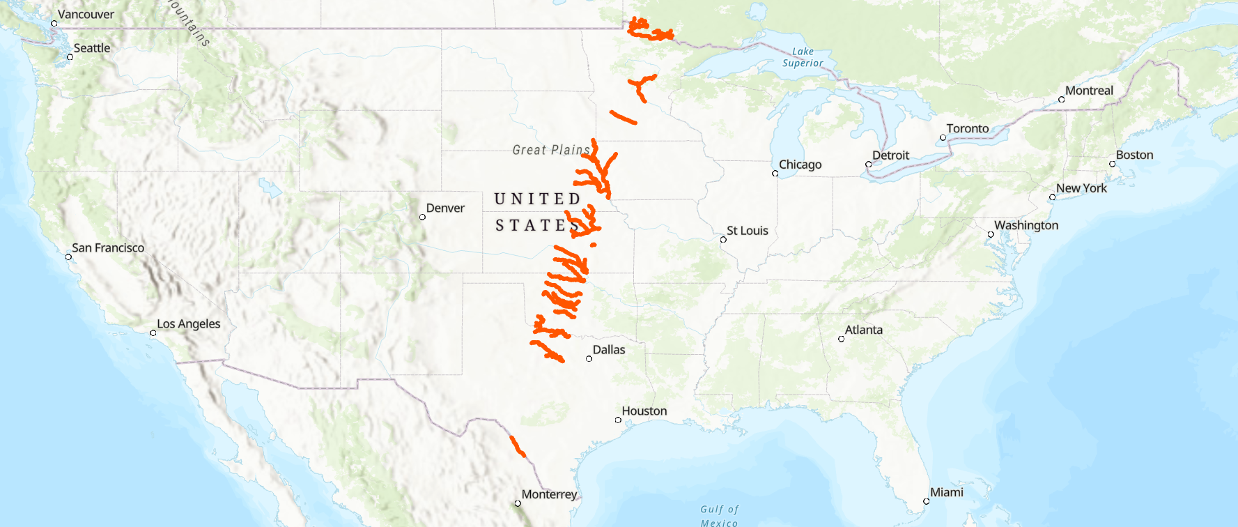
SWOT Level 2 River Single-Pass Vector Data Product, Version 2.0 recent views
National Aeronautics and Space Administration —
The SWOT Level 2 River Single-Pass Vector Data Product from the Surface Water Ocean Topography (SWOT) mission provides water surface elevation, slope, width, and... -
Federal
SWOT Level 2 River Single-Pass Vector Reach Data Product, Version 2.0 recent views
National Aeronautics and Space Administration —
The SWOT Level 2 River Single-Pass Vector Reach Data Product from the Surface Water Ocean Topography (SWOT) mission provides water surface elevation, slope, width,...
34 datasets found