
-
Federal
USGS Digital Orthophoto Quadrangles recent views
National Aeronautics and Space Administration —
A Digital Orthophoto Quadrangle (DOQ) is a computer-generated image of an aerial photograph in which the image displacement caused by terrain relief and camera tilt... -
Federal
DISCOVER-AQ Colorado Deployment Pandora Column Observations recent views
National Aeronautics and Space Administration —
DISCOVERAQ_Colorado_Pandora_Data contains all of the Pandora instrumentation data collected during the Colorado (Denver) deployment of NASA's DISCOVER-AQ field study.... -
Federal
CLPX-Ground: ISA Snow Pit Measurements, Version 2 recent views
National Aeronautics and Space Administration —
This data set consists of snow pit data from nine study areas, within three larger-scale areas in northern Colorado (Fraser, North Park, and Rabbit Ears Meso-cell... -
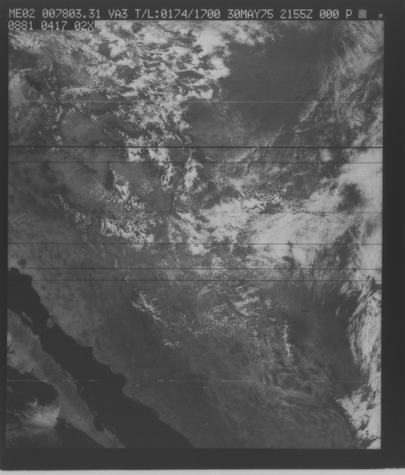
Federal
VISSR/SMS-2 Visible Imagery on 70mm Film V001 (VISSRSMS2IMVIS) at GES DISC recent views
National Aeronautics and Space Administration —
VISSRSMS2IMVIS is the Visible Infrared Spin-Scan Radiometer (VISSR) Visible Imagery on 70mm Film data product from the second Synchronous Meteorological Satellite... -
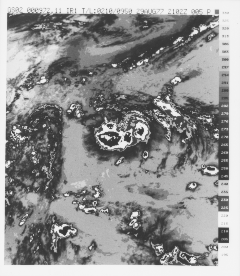
Federal
VISSR/GOES-3 Visible Imagery on 70mm Film V001 (VISSRGOES3IMVIS) at GES DISC recent views
National Aeronautics and Space Administration —
VISSRGOES3IMVIS is the Visible Infrared Spin-Scan Radiometer (VISSR) Visible Imagery on 70mm Film data product from the third Geostationary Operational Environmental... -
Federal
SCOAPE R/V Point Sur Data recent views
National Aeronautics and Space Administration —
SCOAPE_RVPointSur_Data is the data collected from instruments onboard the University of Southern Mississippi’s Research Vessel (R/V) Point Sur during the Satellite... -
Federal
CLPX-Ground: ISA Snow Depth Transects and Related Measurements, Version 2 recent views
National Aeronautics and Space Administration —
This data set consists of snow depth data from nine study areas, within three larger-scale areas in northern Colorado (Fraser, North Park, and Rabbit Ears Meso-cell... -
Federal
In-situ Air Temperature and Relative Humidity in Greenbelt, MD, 2013-2015 recent views
National Aeronautics and Space Administration —
This data set describes the temperature and relative humidity at 12 locations around Goddard Space Flight Center in Greenbelt MD at 15 minute intervals between... -
Federal
SAFARI 2000 Historical Fire Maps, Kruger National Park, 1992-2001 recent views
National Aeronautics and Space Administration —
Kruger National Park (KNP) was established in 1898 to protect wildlife on nearly 2 million hectares of the South African Lowveld. Savanna fires are common in the... -
Federal
VISSR/GOES-2 Infrared Imagery on 70mm Film V001 (VISSRGOES2IMIR) at GES DISC recent views
National Aeronautics and Space Administration —
VISSRGOES2IMIR is the Visible Infrared Spin-Scan Radiometer (VISSR) Infrared Imagery on 70mm Film data product from the second Geostationary Operational Environmental... -
Federal
VISSR/SMS-2 Level 1 Experimenter History Data V001 (VISSRSMS2L1EHT) at GES DISC recent views
National Aeronautics and Space Administration —
VISSRSMS2L1EHT is the Visible Infrared Spin-Scan Radiometer (VISSR) Level 1 Experimenter History Tape (EHT) data product from the second Synchronous Meteorological... -
Federal
NARSTO EPA_SS_HOUSTON Differential Mobility Analyzer Data recent views
National Aeronautics and Space Administration —
The NARSTO_EPA_SS_HOUSTON_DMA_DATA measurements consist of aerosol size distributions and number concentrations collected in Houston, Texas, beginning in August 2000... -
Federal
CLPX-Ground: ISA Soil Moisture Measurements, Version 1 recent views
National Aeronautics and Space Administration —
This data set consists of in-situ point measurements of soil moisture within three 25-km by 25-km Meso-cell Study Areas (MSAs) in northern Colorado (Fraser, North... -
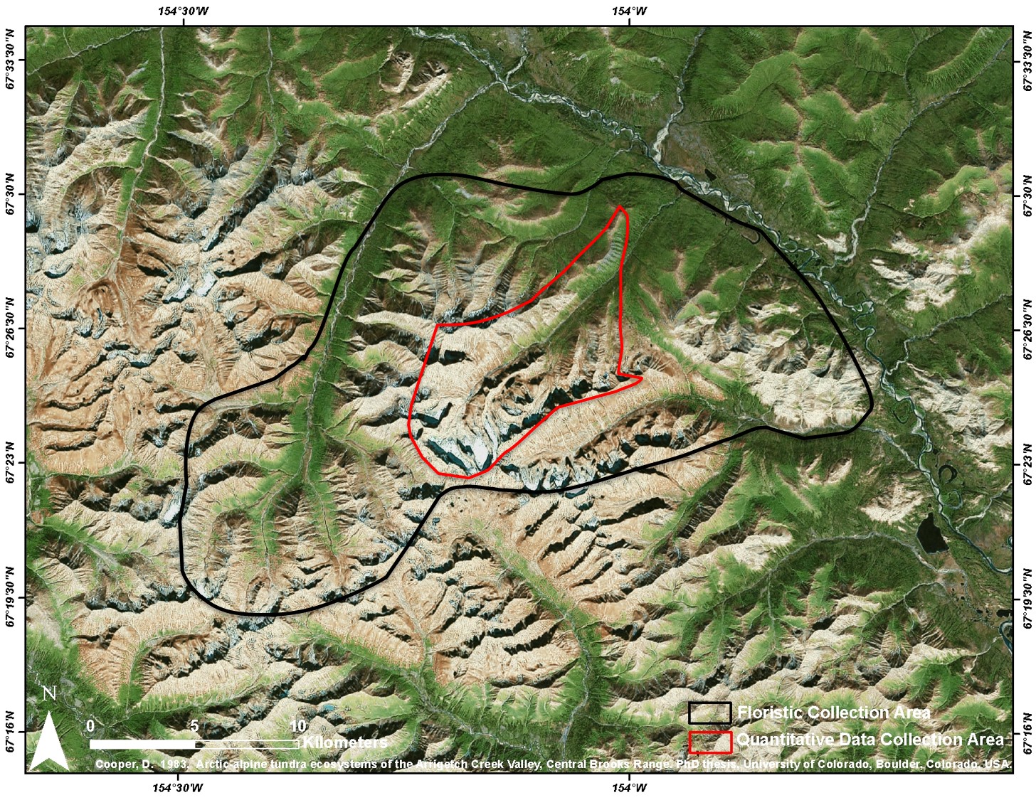
Federal
Arctic Vegetation Plots at Arrigetch Peaks, Alaska, 1978-1981 recent views
National Aeronautics and Space Administration —
This data set provides environmental and vegetation data collected between 1978 and 1981 from 439 study plots at Arrigetch Peaks research site, located in the Gates... -
Federal
ABoVE: Dall Sheep Lamb Recruitment and Climate Data, Alaska and NW Canada, 2000-2015 NGDA recent views
National Aeronautics and Space Administration —
This dataset contains estimated annual average Dall sheep (Ovis dalli dalli) lamb-to-ewe ratios for each year from 2000-2015 across the full species range in Alaska... -
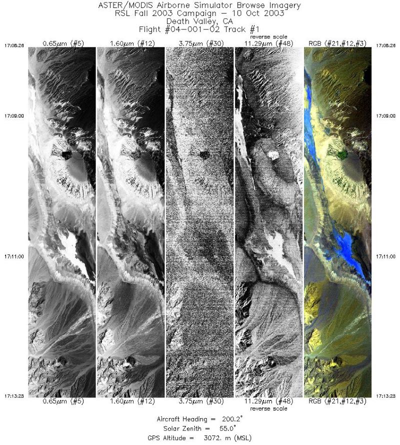
Federal
MASTER: Geological fault mapping, California-Nevada, October, 2003 recent views
National Aeronautics and Space Administration —
This dataset includes Level 1B (L1B) data products from the MODIS/ASTER Airborne Simulator (MASTER) instrument. The spectral data were collected during six flights... -
Federal
NARSTO EPA Supersite (SS) Pittsburgh Gas Concentration and Particulate matter (PM) Physical Properties Data recent views
National Aeronautics and Space Administration —
NARSTO_EPA_SS_PITTSBURGH_GAS_PM_PROPERTY_DATA is the North American Research Strategy for Tropospheric Ozone (NARSTO) Environmental Protection Agency (EPA) Supersite... -
Federal
Central American Vegetation/Land Cover Classification and Conservation Status recent views
National Aeronautics and Space Administration —
The Central American Vegetation/Land Cover Classification and Conservation Status consists of GIS coverages of vegetation classes (forests, woodlands, savannas,... -
Federal
MODIS/Terra Leaf Area Index/FPAR 8-Day L4 Global 500m SIN Grid V061 NGDA recent views
National Aeronautics and Space Administration —
The MOD15A2H Version 6.1 Moderate Resolution Imaging Spectroradiometer (MODIS) combined Leaf Area Index (LAI) and Fraction of Photosynthetically Active Radiation... -
Federal
UAVSAR_POLSAR_ML_COMPLEX_GRD_3X3 recent views
National Aeronautics and Space Administration —
UAVSAR PolSAR Scene Projected Multilook 3x3

Official websites use .gov
A
.gov website belongs to an official government
organization in the United States.
Secure .gov websites use HTTPS
A
lock (
) or https:// means you’ve safely connected to
the .gov website. Share sensitive information only on official,
secure websites.