

11 datasets found for "Income Projections"
-
Federal
West Africa Coastal Vulnerability Mapping: Population Projections, 2030 and 2050
National Aeronautics and Space Administration —
The West Africa Coastal Vulnerability Mapping: Population Projections, 2030 and 2050 data set is based on an unreleased working version of the Gridded Population of... -
Federal
Millennium Ecosystem Assessment: MA Scenarios
National Aeronautics and Space Administration —
The Millennium Ecosystem Assessment: MA Scenarios provides data and information on population, income, cereal production and consumption, meat production and... -
Federal
Fast Longwave And SHortwave Fluxes (FLASHflux) Clouds and Radiative Swath (SSF) data in netCDF
National Aeronautics and Space Administration —
FLASH_SSF_NOAA20-FM6-VIIRS_Version1A data are near real-time CERES observed TOA fluxes, clouds, and parameterized surface fluxes, not officially calibrated. The Fast... -
Federal
Archive of Census Related Products (ACRP): 1980 SAS Transport Files
National Aeronautics and Space Administration —
The 1980 SAS Transport Files portion of the Archive of Census Related Products (ACRP) contains housing and population demographics from the 1980 Summary Tape File... -
Federal
Fast Longwave And SHortwave Fluxes (FLASHflux) NOAA-20 Clouds and Radiative Swath (SSF) Version1B
National Aeronautics and Space Administration —
FLASH_SSF_NOAA20-FM6-VIIRS_Version1B data are near real-time CERES observed TOA fluxes, clouds, and parameterized surface fluxes, not officially calibrated. The Fast... -
Federal
Global Database of Light-based Geospatial Income Inequality (LGII) Measures, Version 1
National Aeronautics and Space Administration —
The Global Database of Light-based Geospatial Income Inequality (LGII) Measures, Version 1 data set contains Gini-coefficients of inequality for 234 countries and... -
Federal
Archive of Census Related Products (ACRP): 1990 Standard Extract Files
National Aeronautics and Space Administration —
The 1990 Standard Extract Files portion of the Archive of Census Related Products (ACRP) contains population and housing data derived from the U.S. Census Bureau's... -
Federal
U.S. Population Grids (Summary File 3), 2000: Alabama, Louisiana, and Mississippi, Alpha Version
National Aeronautics and Space Administration —
The U.S. Population Grids (Summary File 3), 2000: Alabama, Louisiana, and Mississippi, Alpha Version data set contains an ARC/INFO Workspace with grids of demographic... -
Federal
VIIRS/NPP Leaf Area Index/FPAR 8-Day L4 Global 500m SIN Grid V001
National Aeronautics and Space Administration —
The Visible Infrared Imaging Radiometer Suite (VIIRS) Leaf Area Index (LAI) and Fraction of Photosynthetically Active Radiation (FPAR) Version 1 data product provides... -
Federal
U.S. Population Grids (Summary File 3), 2000: New Orleans Metropolitan Statistical Area, Alpha Version
National Aeronautics and Space Administration —
The U.S. Population Grids (Summary File 3), 2000: New Orleans Metropolitan Statistical Area, Alpha Version data set contains an ARC/INFO Workspace with grids of... -
Federal
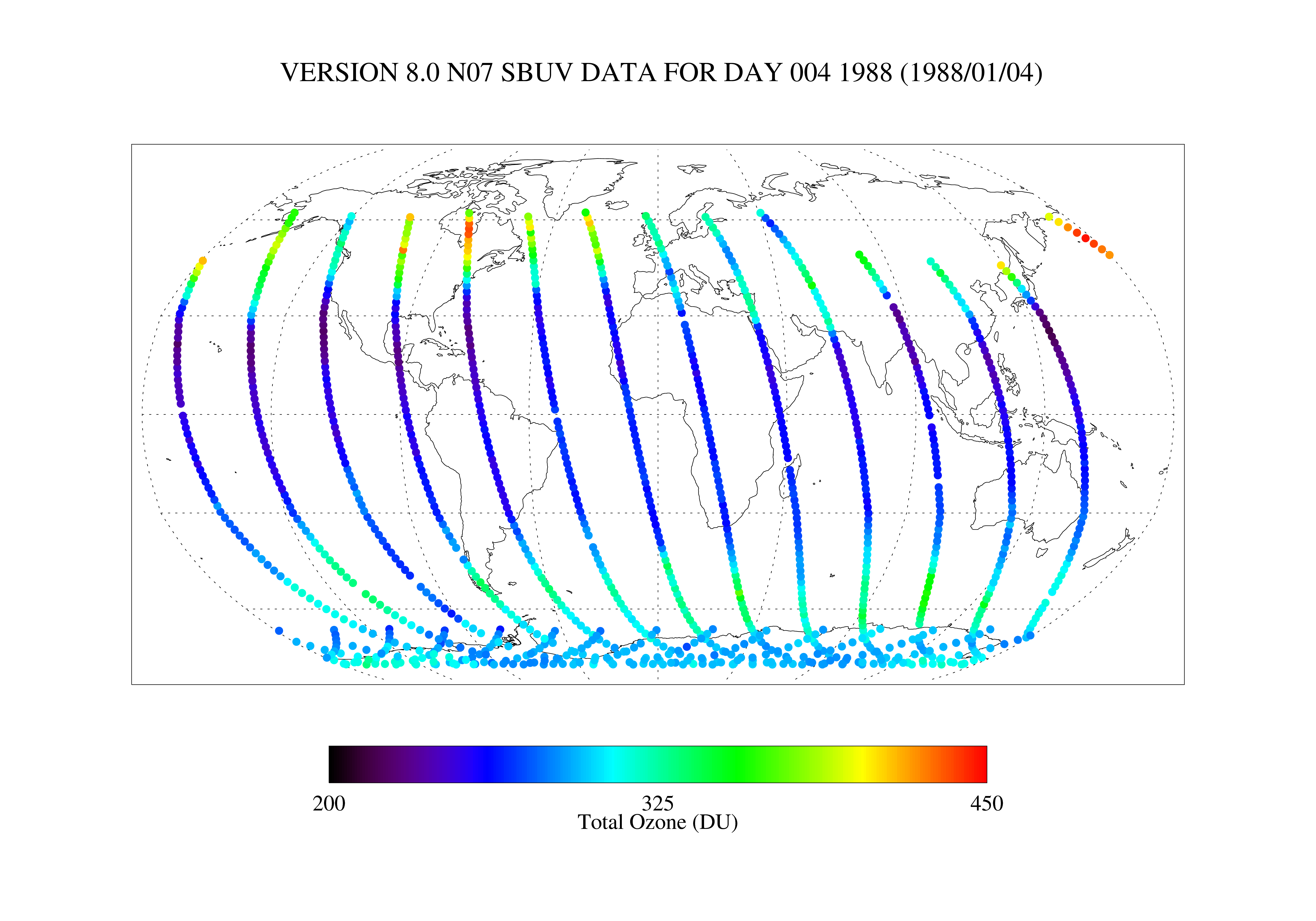
SBUV/Nimbus-7 Level 2 Daily Ozone Profile and Total Column from CD-ROM V008 (SBUVN7O3) at GES DISC
National Aeronautics and Space Administration —
The version 8 SBUV Nimbus-7 ozone data were first released at the 2004 Quadrennial Ozone Symposium on DVD. The DVD contained all of the SBUV/2 data from NOAA-9,...
11 datasets found for "Income Projections"