
-
Federal
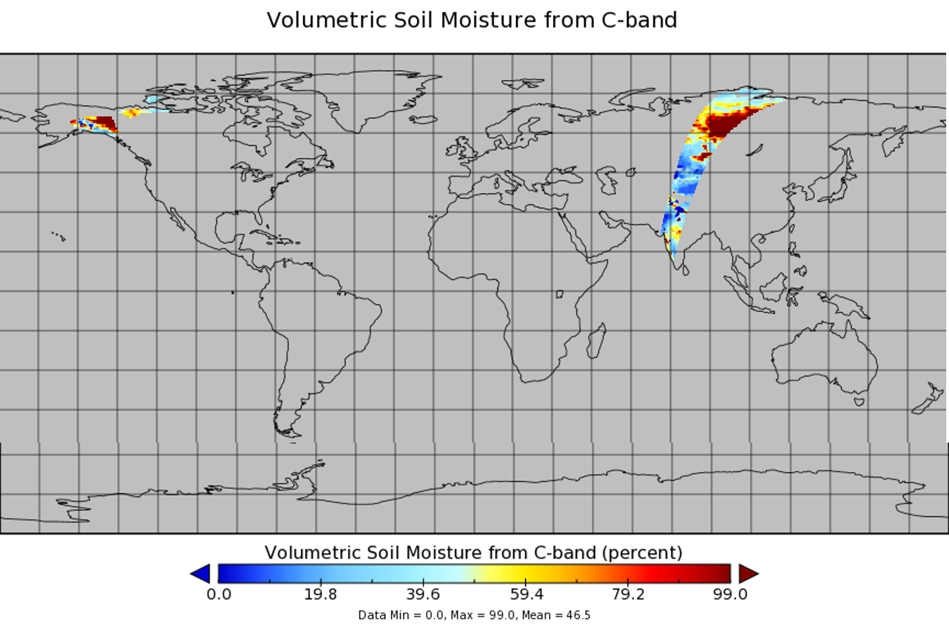
WindSat/Coriolis surface soil moisture (LPRM) L2 V001 (LPRM_WINDSAT_SOILM2) at GES DISC
National Aeronautics and Space Administration —
WindSat/Coriolis surface soil moisture (LPRM) L2 V001 is a Level 2 (swath) data set. Its land surface parameters, surface soil moisture, land surface (skin)... -
Federal
Active-Layer and Permafrost Temperatures, Soendre Stroemfjord, Greenland, Version 1
National Aeronautics and Space Administration —
This data set contains active-layer and permafrost temperatures from two stations in Soendre Stroemfjord, Greenland. Snow depth and snow extent were also recorded.... -
Federal
Arctic Vegetation Plots for IBP Tundra Biome, Barrow, Alaska, 1972-2010
National Aeronautics and Space Administration —
This data set provides vegetation cover and environmental plot data collected as part of the International Biological Program (IBP), U. S. Tundra Biome Program, in... -
Federal
Arctic Vegetation Plots at Toolik Lake, Alaska, 1989
National Aeronautics and Space Administration —
This dataset provides environmental, soil, and vegetation data collected in August 1989 from 81 study plots at the Toolik Lake research site, located in the southern... -
Federal
ABoVE: Thaw Depth at Selected Unburned and Burned Sites Across Alaska
National Aeronautics and Space Administration —
This dataset provides thaw depth measurements made at seven locations across Alaska, during August 2016, June and September 2017, and July-August 2018. Three of the... -
Federal
FIFE CDROM Vol. 3 Contents: NS001 Thematic Mapper Simulator (TMS) Imagery, 1987-1989
National Aeronautics and Space Administration —
This data set provides aircraft-based NS001 Thematic Mapper Simulator (TMS) images of the study area associated with The First ISLSCP (International Satellite Land... -
Federal
CLPX-Ground: ISA Snow Depth Transects and Related Measurements, Version 2
National Aeronautics and Space Administration —
This data set consists of snow depth data from nine study areas, within three larger-scale areas in northern Colorado (Fraser, North Park, and Rabbit Ears Meso-cell... -
Federal
SAFARI 2000 Soil Properties, Moisture, and Temp., Skukuza and Mongu, 1999-2001
National Aeronautics and Space Administration —
Soil moisture and temperature profile sensors were deployed at flux tower sites in Mongu, Zambia and Skukuza, South Africa. In addition, thermal infrared sensors were... -
Federal
GLDAS Noah Land Surface Model L4 monthly 1.0 x 1.0 degree V2.0 (GLDAS_NOAH10_M) at GES DISC
National Aeronautics and Space Administration —
NASA Global Land Data Assimilation System Version 2 (GLDAS-2) has three components: GLDAS-2.0, GLDAS-2.1, and GLDAS-2.2. GLDAS-2.0 is forced entirely with the... -
Federal
BOREAS/SRC AMS Suite A Surface Meteorological and Radiation Data: 1996
National Aeronautics and Space Administration —
Contains the data collected in 1996 by the AMS suite A instrument set operated by SRC and provided to BORIS. -
Federal
Tidal Wetlands Soil Organic Carbon and Estuarine Characteristics, USA, 1972-2015
National Aeronautics and Space Administration —
This dataset provides a synthesis of soil organic carbon (SOC) estimates and a variety of other environmental information from tidal wetlands within estuaries in the... -
Federal
CLPX-Ground: ISA Corner Site Meteorological Data, Version 1
National Aeronautics and Space Administration —
This data set contains meteorological observations at 36 sites throughout the Small Regional Study Area (SRSA) of the NASA Cold Land Processes Field Experiment (CLPX)... -
Federal
Forest Carbon Stocks and Fluxes from the NFCMS, Conterminous USA, 1990-2010
National Aeronautics and Space Administration —
This dataset, derived from the National Forest Carbon Monitoring System (NFCMS), provides estimates of forest carbon stocks and fluxes in the form of aboveground... -
Federal
Global Data Set of Derived Soil Properties, 0.5-Degree Grid (ISRIC-WISE)
National Aeronautics and Space Administration —
The World Inventory of Soil Emission Potentials (WISE) database was used to generate a series of uniform data sets of derived soil properties for each of the 106 soil... -
Federal
ABoVE: Monthly Hydrological Fluxes for Canada and Alaska, 1979-2018
National Aeronautics and Space Administration —
This dataset provides modeled estimates of monthly hydrological fluxes at 0.25-degree resolution over Alaska and Canada for the years 1979-2018. The estimates were... -
Federal
Gridded Winter Soil CO2 Flux Estimates for pan-Arctic and Boreal Regions, 2003-2100
National Aeronautics and Space Administration —
This dataset provides gridded estimates of soil CO2 flux (g C m-2 d-1) for the winter non-growing season (NGS) across pan-Arctic and Boreal permafrost regions (>49... -
Federal
Land Resources of Russia -- Maps of Soil Characteristics, Version 1
National Aeronautics and Space Administration —
This data set consists of maps of various soil characteristics for all of Russia. The maps are available as ESRI Shapefiles and they are accompanied by databases of... -
Federal
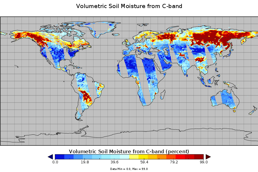
AMSR-E/Aqua surface soil moisture (LPRM) L3 1 day 25 km x 25 km ascending V002 (LPRM_AMSRE_A_SOILM3) at GES DISC
National Aeronautics and Space Administration —
AMSR-E/Aqua surface soil moisture (LPRM) L3 1 day 25 km x 25 km ascending V002 is a Level 3 (gridded) data set. Its land surface parameters, surface soil moisture,... -
Federal
Global Gridded Soil Phosphorus Distribution Maps at 0.5-degree Resolution
National Aeronautics and Space Administration —
This data set provides estimates of different forms of naturally occurring soil phosphorus (P) including labile inorganic P, organic P, occluded P, secondary mineral...

Official websites use .gov
A
.gov website belongs to an official government
organization in the United States.
Secure .gov websites use HTTPS
A
lock (
) or https:// means you’ve safely connected to
the .gov website. Share sensitive information only on official,
secure websites.