
-
Federal
ASTER Global DEM NGDA 14 recent views
National Aeronautics and Space Administration —
ASTER is capable of collecting in-track stereo using nadir- and aft-looking near infrared cameras. Since 2001, these stereo pairs have been used to produce single-... -
Federal
Shuttle Radar Topography Mission 1-arc second Global 13 recent views
National Aeronautics and Space Administration —
The Shuttle Radar Topography Mission (SRTM) was flown aboard the space shuttle Endeavour February 11-22, 2000. The National Aeronautics and Space Administration... -
Federal
National Oceanic and Atmospheric Administration (NOAA) 12 recent views
National Aeronautics and Space Administration —
NOAA measurements from 1996 to 1999 along the Eastern US coastal region. -
Federal
TES/Aura L1B Spectra Nadir V006 10 recent views
National Aeronautics and Space Administration —
TL1BN_6 is the Tropospheric Emission Spectrometer (TES)/Aura L1B Spectra Nadir Version 6 data product. TES was an instrument aboard NASA's Aura satellite and was... -
Federal
Global Reservoir and Dam Database, Version 1 (GRanDv1): Dams, Revision 01
National Aeronautics and Space Administration —
The Global Reservoir and Dam Database, Version 1, Revision 01 (v1.01) contains 6,862 records of reservoirs and their associated dams with a cumulative storage... -
Federal
Deciduous Fractional Cover and Tree Canopy Cover for Boreal North America, 1992-2015
National Aeronautics and Space Administration —
This dataset holds deciduous fraction and tree canopy cover at 30-m resolution over the North American boreal domain for 1992 to 2015. Deciduous fraction is the areal... -
Federal
Global Gridded Geographically Based Economic Data (G-Econ), Version 4
National Aeronautics and Space Administration —
The Global Gridded Geographically Based Economic Data (G-Econ), Version 4 contains derived one degree grid cells of Gross Domestic Product (GDP) data in Grid and... -
Federal
MISR L2 TOA/Cloud Stereo Product subset for the INTEX-B region V002
National Aeronautics and Space Administration —
MISR Level 2 TOA/Cloud Stereo Product containing the Stereoscopically Derived Cloud Mask (SDCM), cloud winds, Reflecting Level Reference Altitude (RLRA), with... -
Federal
GLDAS Noah Land Surface Model L4 monthly 0.25 x 0.25 degree V2.0 (GLDAS_NOAH025_M) at GES DISC
National Aeronautics and Space Administration —
NASA Global Land Data Assimilation System Version 2 (GLDAS-2) has three components: GLDAS-2.0, GLDAS-2.1, and GLDAS-2.2. GLDAS-2.0 is forced entirely with the... -
Federal
Soil Matric Potential, Dielectric, and Physical Properties, Arctic Alaska, 2018
National Aeronautics and Space Administration —
This dataset provides lab-measured soil properties, including soil water matric potential, soil dielectric properties, soil electrical conductivity, corresponding... -
Federal
VISSR/GOES-1 Infrared Imagery on 70mm Film V001 (VISSRGOES1IMIR) at GES DISC
National Aeronautics and Space Administration —
VISSRGOES1IMIR is the Visible Infrared Spin-Scan Radiometer (VISSR) Infrared Imagery on 70mm Film data product from the first Geostationary Operational Environmental... -
Federal
TES/Aura L2 Ammonia Nadir Special Observation V007
National Aeronautics and Space Administration —
TL2NH3NS_7 is the Tropospheric Emission Spectrometer (TES)/Aura Level 2 Ammonia Nadir Special Observation Version 7 data product. TES was an instrument aboard NASA's... -
Federal
GLDAS Noah Land Surface Model L4 monthly 0.25 x 0.25 degree V2.1 (GLDAS_NOAH025_M) at GES DISC
National Aeronautics and Space Administration —
NASA Global Land Data Assimilation System Version 2 (GLDAS-2) has three components: GLDAS-2.0, GLDAS-2.1, and GLDAS-2.2. GLDAS-2.0 is forced entirely with the... -
Federal
GRACE-FO Level-2 Monthly Geopotential Spherical Harmonics GFZ Release 6.1 (RL06.1)
National Aeronautics and Space Administration —
FOR EXPERT USE ONLY. This dataset contains estimates of the total month-by-month geopotential of the Earth, derived from the Gravity Recovery and Climate Experiment... -
Federal
HAQAST Sentinel-5P TROPOMI Nitrogen Dioxide (NO2) CONUS Monthly Level 3 0.01 x 0.01 Degree Gridded Data V2.4 (HAQ_TROPOMI_NO2_CONUS_M_L3) at GES DISC
National Aeronautics and Space Administration —
This product provides level 3 annual averages of tropospheric Nitrogen dioxide (NO2) vertical column density derived from the level 2 Tropospheric Monitoring... -
Federal
GLDAS VIC Land Surface Model L4 monthly 1.0 x 1.0 degree Early Product V2.1 (GLDAS_VIC10_M_EP) at GES DISC
National Aeronautics and Space Administration —
NASA Global Land Data Assimilation System Version 2 (GLDAS-2) has three components: GLDAS-2.0, GLDAS-2.1, and GLDAS-2.2. GLDAS-2.0 is forced entirely with the... -
Federal
SLSTR/Sentinel-3B L1 Full Resolution Top of Atmosphere Radiances and Brightness Temperature
National Aeronautics and Space Administration —
The SLSTR/Sentinel-3B L1 Full Resolution Top of Atmosphere Radiances and Brightness Temperature product with shortname S3B_SL_1_RBT, is generated from the data... -
Federal
Sounder SIPS: Suomi NPP CrIMSS Level 2 CLIMCAPS Normal Spectral Resolution: Atmosphere cloud and surface geophysical state V2 (SNDRSNIML2CCPRETN) at GES DISC
National Aeronautics and Space Administration —
WARNING: To users of the derived product “co_mmr_midtrop” (carbon monoxide mass mixing ratio to dry air [kg/kg] at ~500 hPa). This variable has a significant bias due... -
Federal
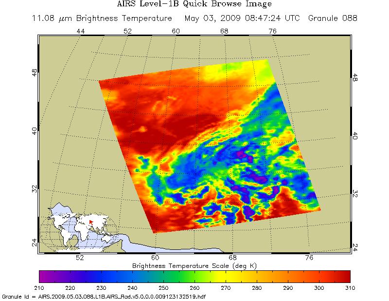
AIRS/Aqua L1B Infrared (IR) geolocated and calibrated radiances V005 (AIRIBRAD) at GES DISC at GES DISC
National Aeronautics and Space Administration —
WARNING: On 2021/09/23 the EOS Aqua executed a Deep Space Maneuver (DSM). In the DSM, the spacecraft is turned such that the normal Earth field of regard is deep... -
Federal
MODIS/Terra+Aqua BRDF/Albedo Black Sky Albedo Band1 Daily L3 Global 30ArcSec CMG V061 NGDA
National Aeronautics and Space Administration —
The MCD43D42 Version 6.1 Bidirectional Reflectance Distribution Function and Albedo (BRDF/Albedo) Black-Sky Albedo dataset is produced daily using 16 days of Terra...

Official websites use .gov
A
.gov website belongs to an official government
organization in the United States.
Secure .gov websites use HTTPS
A
lock (
) or https:// means you’ve safely connected to
the .gov website. Share sensitive information only on official,
secure websites.