

92 datasets found for "Satellite"
-
Federal
National Solar Radiation Database (NSRDB)
Department of Energy —
The National Solar Radiation Database (NSRDB) is a serially complete collection of meteorological and solar irradiance data sets for the United States and a growing... -
Federal
Typical Solar Years (TSYs) and Typical Wind Years (TWYs) for the Assessment of PV System and Wind Turbine Performance
Department of Energy —
This dataset comprises Typical Solar Years (TSYs) and Typical Wind Years (TWYs) for the efficient assessment of PV system and wind turbine performance for over 2,000... -
Federal
TEAMER: Raw data and three-year modeled velocity from the upper Kuskokwim River at McGrath, Alaska
Department of Energy —
This dataset from the upper Kuskokwim River at McGrath, Alaska is the result of a recent river resource and siting assessment conducted by the Alaska Center for... -
Federal
Energy Use and Water Consumption at University of Texas at Austin
Department of Energy —
Provides annual energy usage for years 1989 through 2022 for UT at Austin; specifically, electricity usage (kWh), natural gas usage (Mcf), associated costs. Also... -
Federal
Sentinel-1 Input Data for PSInSAR Analysis
Department of Energy —
Files used to perform the Persistent Scatterer InSAR analysis with SARPROZ. The data is sourced from ESAs Sentinel-1 project and covers Brady Hot Springs and Desert... -
Federal
India Direct Normal & Global Horizontal Irradiance Solar Resources
Department of Energy —
GIS data for India's direct normal irradiance (DNI) and global horizontal irradiance. Provides 10-kilometer (km) solar resource maps and data for India. The 10-km... -
Federal
Utah FORGE: InSAR Data from 2021
Department of Energy —
Interferometric Synthetic Aperture Radar data from the TerraSAR-X and the TanDEM-X satellite missions operated by the German Space Agency (DLR). Interferometric pairs... -
Federal
Memos Relating to High-Priority Geothermal Targets in Colorado Selected for Further Study - Flint Geothermal 2012
Department of Energy —
This dataset contains several memos describing geothermal targets outlined by Flint personnel in Colorado. Phase 1 involved an ASTER and LANDSAT thermal infrared... -
Federal
TigerRAY Moored Deployment Data
Department of Energy —
This respiratory contains TigerRAY moored deployment data for each day in which data was collected between January 10, 2024 and March 3, 2024. For sensors on and... -
Federal
Bhutan Solar Resources
Department of Energy —
GIS data for Bhutan's direct normal irradiance (DNI), global horizontal irradiance (GHI), and latitude tilt irradiance. Researchers from NREL and the Atmospheric... -
Federal
Fallon FORGE: Geodetic Data
Department of Energy —
Fallon FORGE InSAR and geodetic GPS deformation data. InSAR shapefiles are packaged together as .MPK (ArcMap map package, compatible with other GIS platforms), and as... -
Federal
Annual Solar Photovoltaic Module Shipments Report
Department of Energy —
Data on domestic shipments of photovoltaic cells and modules by market sector, end use, and type. Based on information reported on Form EIA-63B, “Annual Photovoltaic... -
Federal
INGENIOUS - Great Basin Regional Dataset Compilation
Department of Energy —
This is the regional dataset compilation for the INnovative Geothermal Exploration through Novel Investigations Of Undiscovered Systems (INGENIOUS) project. The... -
Federal
Brady's Geothermal Field - List of Sentinel-1A InSAR Images
Department of Energy —
List of Sentinel-1A InSAR images acquired between 2014-11-01 and 2016-10-31, and archived at the link below. NOTE: The user must create an account in order to access... -
Federal
Spatial Analysis of CIRES ASTER and LANDSAT thermal infrared anomalies
Department of Energy —
CIRES provided polygon shapefiles showing areas of anomalously warm ground, derived from ASTER and LANDSAT remotely sensed thermal infrared imagery. Partly from these... -
Federal
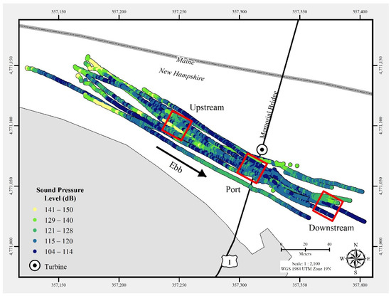
Triton Field Trials (TFiT) underwater noise - University of New Hampshire Living Bridge turbine Processed Data
Department of Energy —
In July 2021, a commercial-off-the-shelf hydrophone was deployed in a free-drifting configuration to measure underwater acoustic emissions and characterize a 25 kW-... -
Federal
Provider - University of Washington - Raw Data
Department of Energy —
Overview GOES satellite, WSR-88D radar, sounding balloon, surface weather observation and mesoscale model data from the area within, up, and downstream of the study... -
Federal
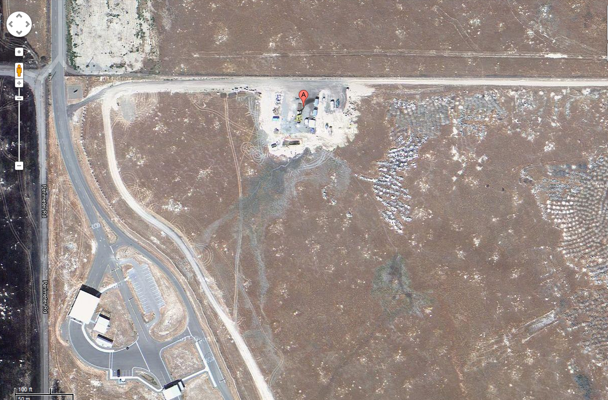
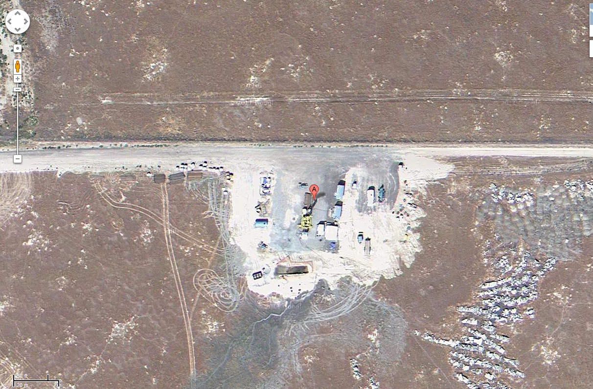
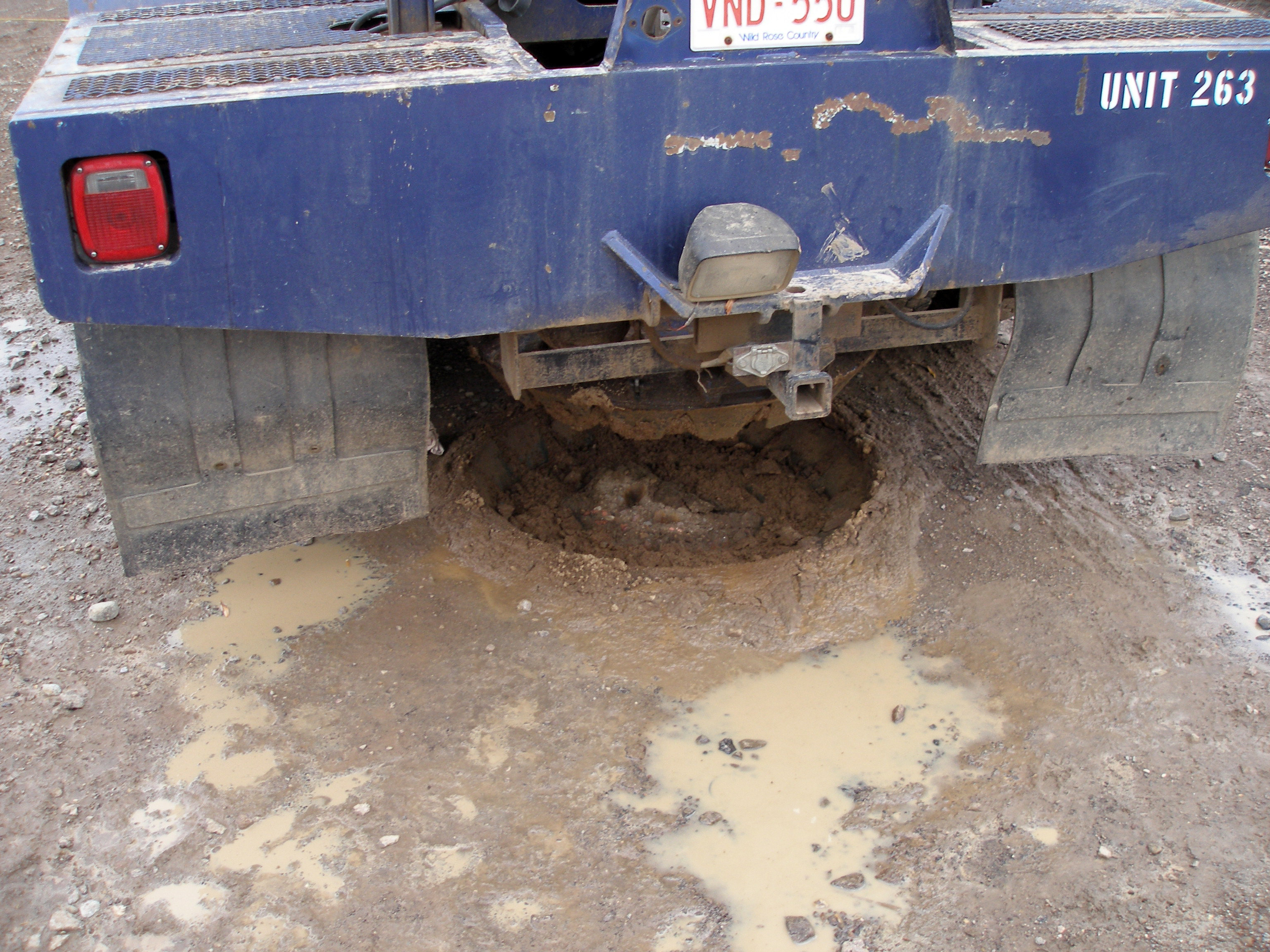
Project HOTSPOT: Mountain Home Well Core and Drill Site Photos
Department of Energy —
The Snake River Plain (SRP), Idaho, hosts potential geothermal resources due to elevated groundwater temperatures associated with the thermal anomaly Yellowstone-...
92 datasets found for "Satellite"