Search datasets
-
The GRIP Flight Tracks and Animations dataset includes both KML files and animation files. The KML files use Google Earth to show the flight tracks on a map. The animations vary by type. Created...
Search relevance: 111.66 | Views last month: 3 | Catalog Last Checked: November 04, 2026 at 01:10 AM -
This dataset contains two subsets of animations corresponding to particle tracking simulations of the Upper Missouri River near Wolf Point, MT. Animations do not contain audio and depict particles...
Search relevance: 106.37 | Views last month: 1 | Catalog Last Checked: September 10, 2026 at 10:50 PM -
This dataset contains four animations of particles generated for each of the particle tracking simulations of the Searcys dye release experiment corresponding to multiples of 0.5, 1, 2, and 4 of...
Search relevance: 91.92 | Views last month: 1 | Catalog Last Checked: September 10, 2026 at 09:08 PM -
This dataset contains animations of particle tracking of the July 1, 2019, larval drift experiment on the Upper Missouri River near Wolf Point, MT. Animations do not contain audio and depict...
Search relevance: 91.35 | Views last month: 3 | Catalog Last Checked: September 10, 2026 at 09:46 PM -
This dataset contains two subsets of animations corresponding to particle tracking simulations of the Upper Missouri River near Wolf Point, MT comparing larval transport through the upper and...
Search relevance: 90.30 | Views last month: 1 | Catalog Last Checked: September 10, 2026 at 09:58 PM -
not available
Search relevance: 90.03 | Views last month: 2 | Catalog Last Checked: February 07, 2026 at 08:30 PM -
Animation for Tolt North Fork Snow, Soil Moisture, Streamflow (mp4) Animation for Tolt River Floodplain Irradiance
Search relevance: 75.05 | Views last month: 2 | Catalog Last Checked: September 10, 2026 at 07:01 PM -
A catalog of NASA images and animations of our home planet.
Search relevance: 48.75 | Views last month: 12 | Catalog Last Checked: August 04, 2025 at 03:35 AM -
Repository of Emergency Financial First Aid Kit (EFFAK)-related resources. Includes animations and direct links to EFFAK tools in a variety of languages.
Search relevance: 46.88 | Views last month: 1 | Catalog Last Checked: September 10, 2026 at 05:45 PM -
The Fabry-Perot Interferometer, FPI, was a High-Resolution Remote Sensing Instrument designed to measure the Thermospheric Temperature, Meridional Wind, and Density of the following Metastable...
Search relevance: 41.31 | Views last month: 12 | Catalog Last Checked: November 04, 2026 at 12:48 AM -
Directional Cooling-Induced Fracturing (DCIF) experiments were conducted on rectangular Westerly granite blocks (width=depth=4.0", height=2.0"). Liquid nitrogen was poured in a small, 1"-diameter...
Search relevance: 34.84 | Views last month: 1 | Catalog Last Checked: October 15, 2026 at 11:03 PM -
This ITS_LIVE data set, part of the Making Earth System Data Records for Use in Research Environments (MEaSUREs) Program, contains monthly, 120 m resolution ice masks for the Greenland Ice Sheet...
Search relevance: 34.84 | Views last month: 0 | Catalog Last Checked: April 20, 2026 at 03:56 PM -
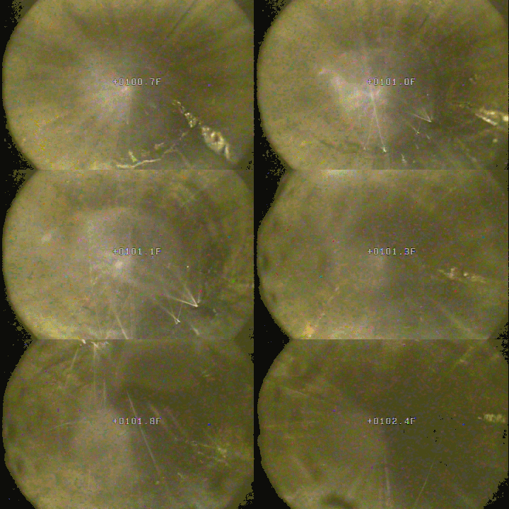
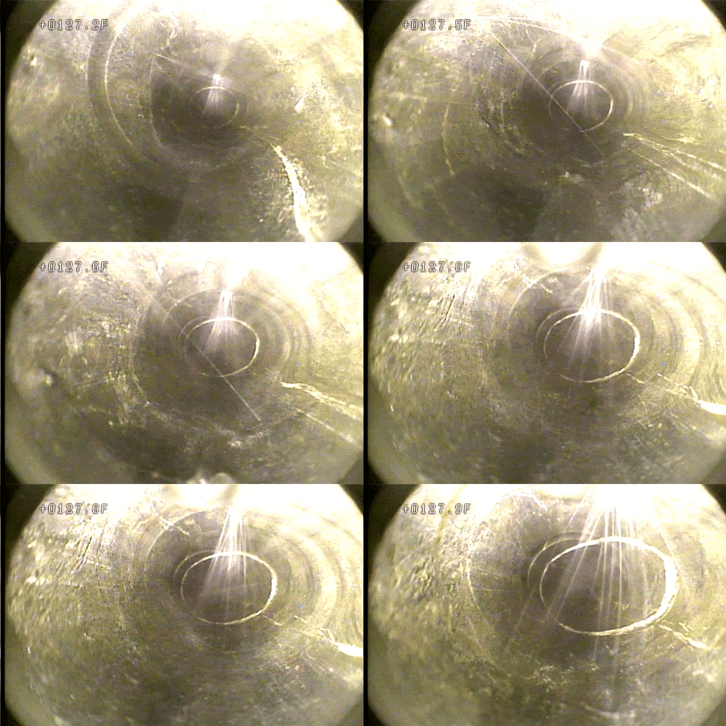
This package includes data and footage from two rounds of downhole camera surveys performed at the Sanford Underground Research Facility (SURF) on the 4850 level. The exercise was performed once...
Search relevance: 33.84 | Views last month: 2 | Catalog Last Checked: October 15, 2026 at 11:03 PM -
This Reel Includes the Following Sections TRT 50:10 Hurricane Overviews 1:02; Hurricane Arthur 15:07; Cyclone Pam 19:48; Typhoon Hagupit 21:27; Hurricane Bertha 22:03; Hurricanes Iselle and Julio...
Search relevance: 33.27 | Views last month: 3 | Catalog Last Checked: August 03, 2025 at 02:02 PM -
NOAA's National Ocean Service (NOS) has developed a Cook Inlet Operational Forecast System (CIOFS). CIOFS is based on a three-dimensional ROMS model that runs on NOAA's High Performance Computers...
Search relevance: 31.50 | Views last month: 1 | Catalog Last Checked: November 03, 2026 at 04:01 PM -
NOAA's National Ocean Service (NOS) has developed a Tampa Bay Operational Forecast System (TBOFS). TBOFS is based on a three-dimensional ROMS model that runs on NOAA's High Performance Computers...
Search relevance: 31.50 | Views last month: 0 | Catalog Last Checked: November 03, 2026 at 04:01 PM -
The NOAA National Ocean Service (NOS) developed the Delaware Bay Operational Forecast System (DBOFS) based on a three-dimensional Regional Ocean Modeling System (ROMS) model that runs on NOAA High...
Search relevance: 30.66 | Views last month: 3 | Catalog Last Checked: November 03, 2026 at 04:01 PM -
NOAA's National Ocean Service (NOS) has developed a West Coast Operational Forecast System (WCOFS). WCOFS is based on a three-dimensional ROMS model that runs on NOAA's High Performance Computers...
Search relevance: 30.66 | Views last month: 2 | Catalog Last Checked: November 03, 2026 at 04:01 PM -
This directory contains data-sets pertaining to the Computational Fluid Dynamics (CFD) modeling of Dehlsen Associates, LLC "Centipod 1P6" (C1P6) two-part point absorber wave energy converter (WEC)...
Search relevance: 30.53 | Views last month: 7 | Catalog Last Checked: September 10, 2026 at 05:53 PM -
The NOAA Weather and Climate Toolkit is an application that provides simple visualization and data export of weather and climatological data archived at NCDC. The Toolkit also provides access to...
Search relevance: 30.33 | Views last month: 84 | Catalog Last Checked: November 03, 2026 at 03:55 PM