

Deprecated_Map_of_Wind_Regions.jpg
URL: https://data.openei.org/files/4500/Map_of_Wind_Regions.jpg
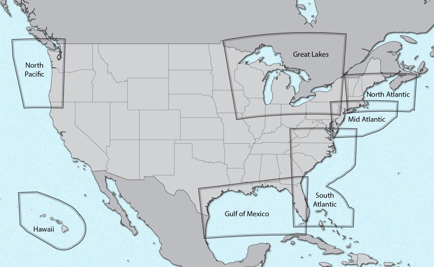
Map of contiguous United States plus Hawaii, outlining the domain of each region's offshore wind zones.
Source: 2023 National Offshore Wind data set (NOW-23)
About this Resource
| Last updated | unknown |
|---|---|
| Created | unknown |
| Name | Deprecated_Map_of_Wind_Regions.jpg |
| Format | JPEG Image File |
| License | Creative Commons Attribution |
| Created | 1 year ago |
| Media type | image/jpeg |
| has views | False |
| id | c1741dd2-0fef-461a-ae4e-0489b8009833 |
| metadata modified | 4 months ago |
| package id | d51be466-5d17-4cd3-9034-8548237b08e8 |
| position | 13 |
| state | active |