
-
GPM Ground Validation Global Flood Monitoring System (GFMS) Flood Maps IFloodS V1 recent views
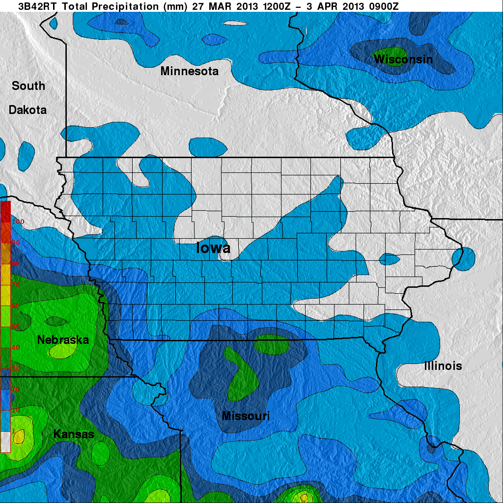
The GPM Ground Validation Global Flood Monitoring System (GFMS) Flood Maps IFloodS dataset contains global flood estimates on a 0.25 degree spatial resolution every 3 hours,... -
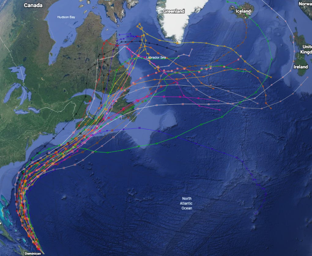
GRIP Hurricane and Tropical Storm Forecasts V1 recent views
The GRIP Hurricane and Tropical Storm Forecasts dataset consists of tropical cyclone model forecast tracks archived during the NASA Genesis and Rapid Intensification Processes... -
HURRICANE AND SEVERE STORM SENTINEL (HS3) WORLD WIDE LIGHTNING LOCATION NETWORK (WWLLN) STORMS V1 recent views
The World Wide Lightning Location Network (WWLLN) is a global, ground-based lightning sensor network operated by the University of Washington in Seattle. This network monitors... -
HURRICANE AND SEVERE STORM SENTINEL (HS3) GLOBAL HAWK NAVIGATION V1 recent views
The Hurricane and Severe Storm Sentinel (HS3) Global Hawk Navigation dataset consists of the real-time navigation and housekeeping data that was acquired from various...

Official websites use .gov
A
.gov website belongs to an official government
organization in the United States.
Secure .gov websites use HTTPS
A
lock (
) or https:// means you’ve safely connected to
the .gov website. Share sensitive information only on official,
secure websites.