
-
Federal
Shuttle Radar Topography Mission DTED Level 1 (3-arc second) Data (DTED-1) 45 recent views
National Aeronautics and Space Administration —
The Shuttle Radar Topography Mission (SRTM) successfully collected Interferometric Synthetic Aperture Radar (IFSAR) data over 80 percent of the landmass of the Earth... -
Federal
Shuttle Radar Topography Mission (SRTM) Images 15 recent views
National Aeronautics and Space Administration —
Culminating more than four years of processing data, NASA and the National Geospatial-Intelligence Agency (NGA) have completed Earth's most extensive global... -
Federal
BOREAS RSS-16 Level-3b DC-8 AIRSAR SY Images 13 recent views
National Aeronautics and Space Administration —
Satellite and aircraft SAR data used in conjunction with various ground measurements to determine the moisture regime of the boreal forest. The NASA JPL AIRSAR is a... -
Federal
Shuttle Radar Topography Mission 1-arc second Global
National Aeronautics and Space Administration —
The Shuttle Radar Topography Mission (SRTM) was flown aboard the space shuttle Endeavour February 11-22, 2000. The National Aeronautics and Space Administration... -
Federal
Shuttle Radar Topography Mission (SRTM) Version 2
National Aeronautics and Space Administration —
NASA has released version 2 of the Shuttle Radar Topography Mission digital topographic data (also known as the "finished" version). Version 2 is the result of a... -
Federal
CLPX-Airborne: Airborne Synthetic Aperture Radar (AIRSAR) Imagery, Version 1
National Aeronautics and Space Administration —
Airborne Synthetic Aperture Radar (AIRSAR) is a side-looking imaging radar that is able to collect data irrespective of daylight or cloud cover. The AIRSAR instrument... -
Federal
SnowEx23 University of Wyoming Ground Penetrating Radar V001
National Aeronautics and Space Administration —
This data set contains the results of 1 GHz ground-penetrating radar surveys conducted at the Arctic Coastal Plain (ACP) site and the Upper Kuparuk/Toolik (UKT) site... -
Federal
SMAP_L1B_SIGMA_NAUGHT_LOW_RES_QA_V002
National Aeronautics and Space Administration —
SMAP Level 1B Sigma Naught Low Res Data Quality Info Version 2 -
Federal
SMAP_L1A_RADAR_RECEIVE_ONLY_QA_V003
National Aeronautics and Space Administration —
SMAP Level 1A Radar Receive Only Data Quality Information Version 3 -
Federal
GPM Ground Validation C-band Kumpula (KUM) Radar LPVEx V1
National Aeronautics and Space Administration —
The GPM Ground Validation C-Band Radar LPVEx datasets include radar reflectivity data from the Kumpula (KUM) dual-polarimetric C-Band Doppler radar in Finland during... -
Federal
IceBridge HiCARS 1 L0 Raw Return Energy Amplitudes, Version 1
National Aeronautics and Space Administration —
This data set contains radar sounder measurements taken over Antarctica using the Hi-Capability Radar Sounder (HiCARS) Version 1 instrument. The data were collected... -
Federal
SMAP_L1A_RADAR_METADATA_V001
National Aeronautics and Space Administration —
SMAP Level 1A Radar Product Metadata -
Federal
GPM GROUND VALIDATION NASA MICRO RAIN RADAR (MRR) MC3E V1
National Aeronautics and Space Administration —
The GPM Ground Validation NASA Micro Rain Radar (MRR) MC3E dataset was collected by a Micro Rain Radar (MRR), which is a vertically pointing Doppler radar which... -
Federal
CAMEX-3 LiDAR Atmospheric Sensing Experiment (LASE) Imagery V1
National Aeronautics and Space Administration —
The CAMEX-3 LiDAR Atmospheric Sensing Experiment (LASE) Imagery dataset is a browse-only dataset that consists of plotted reflectivity data collected by the LiDAR... -
Federal
GPM GROUND VALIDATION NEXRAD LEVEL II KARX IFLOODS V1
National Aeronautics and Space Administration —
The GPM Ground Validation Next Generation Weather Radar (NEXRAD) Level II IFloodS datasets were collected from four sites (see Table 1) from March 29, 2013 to June... -
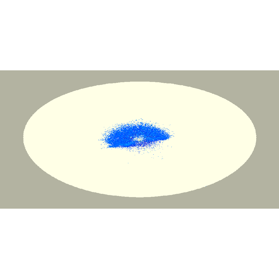
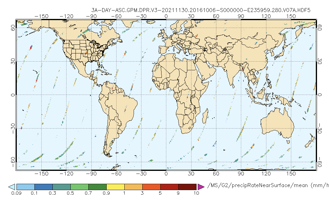
Federal
GPM DPR Precipitation Profile 1 Day Ascending 0.25 degree x 0.25 degree V07 (GPM_3DPR_ASC) at GES DISC
National Aeronautics and Space Administration —
Version 07 is the current version of the data set. Older versions will no longer be available and have been superseded by Version 07. . The Level 3 DPR products... -
Federal
GPM Ground Validation KHTX NEXRAD IPHEx V1
National Aeronautics and Space Administration —
The GPM Ground Validation KHTX NEXRAD IPHEx datasets contain data from the KHTX NEXt Generation Weather RADar system (NEXRAD) instrument in operation during the... -
Federal
SMEX03 QuikSCAT/SeaWinds Backscatter Data, Brazil, Version 1
National Aeronautics and Space Administration —
This data set includes data collected over the Soil Moisture Experiment 2003 (SMEX03) areas of Alabama, Georgia, Oklahoma, USA , and Brazil. -
Federal
NASA Shuttle Radar Topography Mission Water Body Data Shapefiles & Raster Files V003
National Aeronautics and Space Administration —
The Land Processes Distributed Active Archive Center (LP DAAC) is responsible for the archive and distribution of NASA Making Earth System Data Records for Use in... -
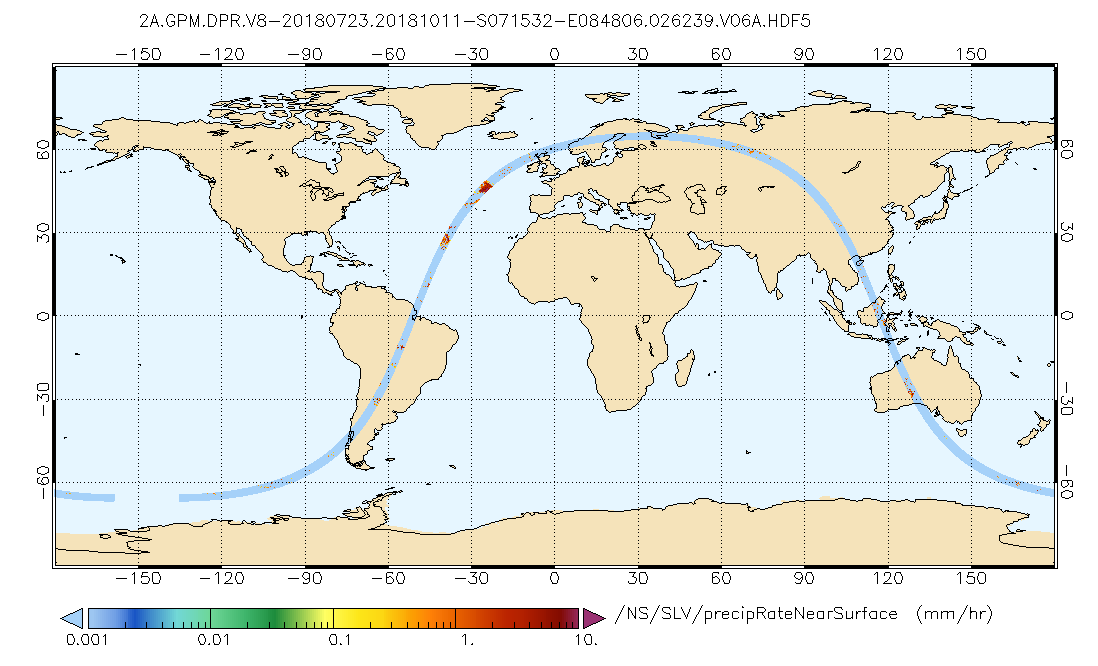
Federal
GPM DPR Precipitation Profile L2A 1.5 hours 5 km V07 (GPM_2ADPR) at GES DISC
National Aeronautics and Space Administration —
Version 07 is the current version of the data set. Older versions will no longer be available and have been superseded by Version 07. . 2ADPR provides single- and...

Official websites use .gov
A
.gov website belongs to an official government
organization in the United States.
Secure .gov websites use HTTPS
A
lock (
) or https:// means you’ve safely connected to
the .gov website. Share sensitive information only on official,
secure websites.