
-
Federal
CSR TELLUS GRACE-FO Level-3 Monthly Ocean Bottom Pressure Anomaly Release 6.1 version 04
National Aeronautics and Space Administration —
The monthly ocean bottom pressure anomaly grids are given as equivalent water thickness changes derived from GRACE & GRACE-FO time-variable gravity observations... -
Federal
GFZ TELLUS GRACE Level-3 Monthly Ocean Bottom Pressure Anomaly Release 6.0 version 04
National Aeronautics and Space Administration —
The monthly ocean bottom pressure anomaly grids are given as equivalent water thickness changes derived from GRACE & GRACE-FO time-variable gravity observations... -
Federal
Ground-Based Global Navigation Satellite System (GNSS) GLONASS Broadcast Ephemeris Data (daily files) from NASA CDDIS
National Aeronautics and Space Administration —
This dataset consists of ground-based Global Navigation Satellite System (GNSS) GLObal NAvigation Satellite System (GLONASS) Broadcast Ephemeris Data (daily files)... -
Federal
Ground-Based Global Navigation Satellite System Differential Code Bias Product from NASA CDDIS
National Aeronautics and Space Administration —
This dataset consists of differential code biases (DCBs) from a network of ground-based Global Navigation Satellite System (GNSS) station and available from the NASA... -
Federal
Global Navigation Satellite System (GNSS) Ionosphere Vertical Total Electron Content (VTEC) Final Product from NASA CDDIS
National Aeronautics and Space Administration —
This derived product set consists of Global Navigation Satellite System Final Ionosphere Vertical Total Electron Content (VTEC) product (daily files) from the NASA... -
Federal
Ground-Based Global Navigation Satellite System (GNSS) Compact Observation Data (30-second sampling, hourly files) from NASA CDDIS
National Aeronautics and Space Administration —
This dataset consists of ground-based Global Navigation Satellite System (GNSS) Observation Data (30-second sampling, hourly files) from the NASA Crustal Dynamics... -
Federal
Ground-Based Global Navigation Satellite System (GNSS) IRNSS Broadcast Ephemeris Data (daily files) from NASA CDDIS
National Aeronautics and Space Administration —
This dataset consists of ground-based Global Navigation Satellite System (GNSS) Indian Regional Navigation Satellite System (IRNSS) Broadcast Ephemeris Data (daily... -
Federal
CDDIS VLBI level 2 vgosDB format data
National Aeronautics and Space Administration —
This CDDIS collection is composed of geodetic, Very Long Baseline Array (VLBI) level 2 observational and supporting data (including observations, standard deviations,... -
Federal
GFZ TELLUS GRACE Level-3 Monthly Land Water-Equivalent-Thickness Surface Mass Anomaly Release 6.0 version 04
National Aeronautics and Space Administration —
The monthly land mass grids contain water mass anomalies given as equivalent water thickness derived from GRACE & GRACE-FO time-variable gravity observations... -
Federal
SEASAT_SAR_LEVEL1_GEOTIFF
National Aeronautics and Space Administration —
SEASAT Image GeoTIFF -
Federal
Monthly gridded Global Land Data Assimilation System (GLDAS) from Noah-v3.3 land hydrology model for GRACE and GRACE-FO over nominal months
National Aeronautics and Space Administration —
The total land water storage anomalies are aggregated from the Global Land Data Assimilation System (GLDAS) NOAH model. GLDAS outputs land water content by using... -
Federal
GEOS-2 International Optical Beacon Data Input V001 (GEOS2OBSINPUTINTL) at GES DISC
National Aeronautics and Space Administration —
GEOS2OBSINPUTINTL is the optical beacon system data product which contains reduced raw geodetic optical observations obtained by various international camera systems.... -
Federal
IceBridge Scintrex CS-3 Cesium Magnetometer L1B Geolocated Magnetic Anomalies, Version 1
National Aeronautics and Space Administration —
This data set contains magnetic field readings taken over Greenland using the Scintrex CS-3 Cesium Magnetometer instrument. The data were collected as part of... -
Federal
IceBridge Watson-Gyro Fluxgate Magnetometer L1B Time-Tagged Magnetic Field V001
National Aeronautics and Space Administration —
This data set contains time-registered Level-1B field readings taken over Antarctica using the Watson-Gyro Fluxgate Magnetometer instrument. The data were collected... -
Federal
Supporting Information for Satellite Laser Ranging (SLR) Data and Products from NASA CDDIS
National Aeronautics and Space Administration —
This dataset consists of ground-based Satellite Laser Ranging observation data (normal points, daily 24 hour files) from the NASA Crustal Dynamics Data Information... -
Federal
SENTINEL-1B_DUAL_POL_GRD_MEDIUM_RES
National Aeronautics and Space Administration —
Sentinel-1B Dual-pol ground projected medium resolution images -
Federal
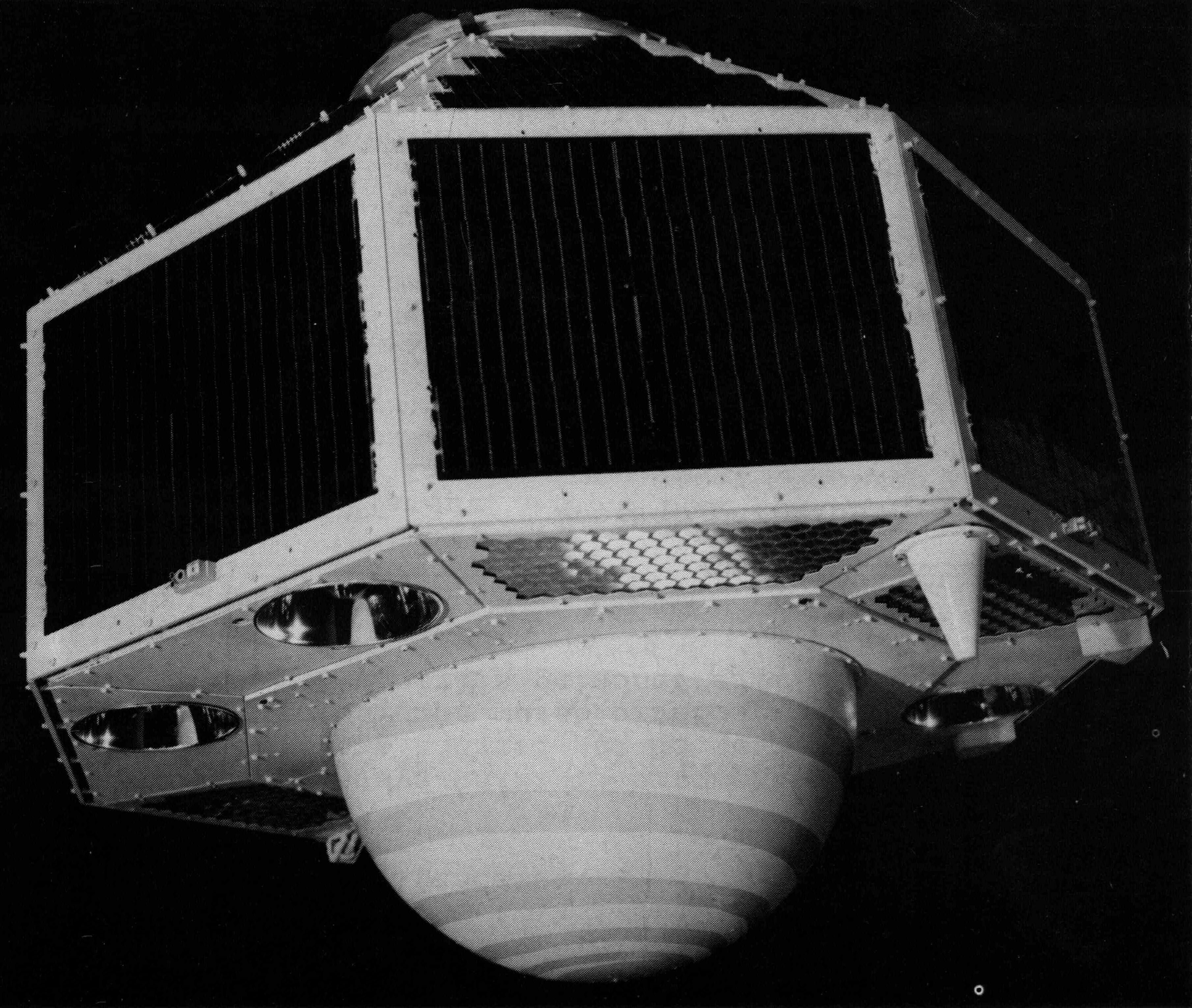
GRACE-FO Level-1B Release version 4.0 from JPL in ASCII
National Aeronautics and Space Administration —
FOR EXPERT USE ONLY. The GRACE-FO Level-1B data provide all necessary inputs to derive monthly time variations in the Earth gravity field. Level-1B data are also used...

Official websites use .gov
A
.gov website belongs to an official government
organization in the United States.
Secure .gov websites use HTTPS
A
lock (
) or https:// means you’ve safely connected to
the .gov website. Share sensitive information only on official,
secure websites.