
-
Federal
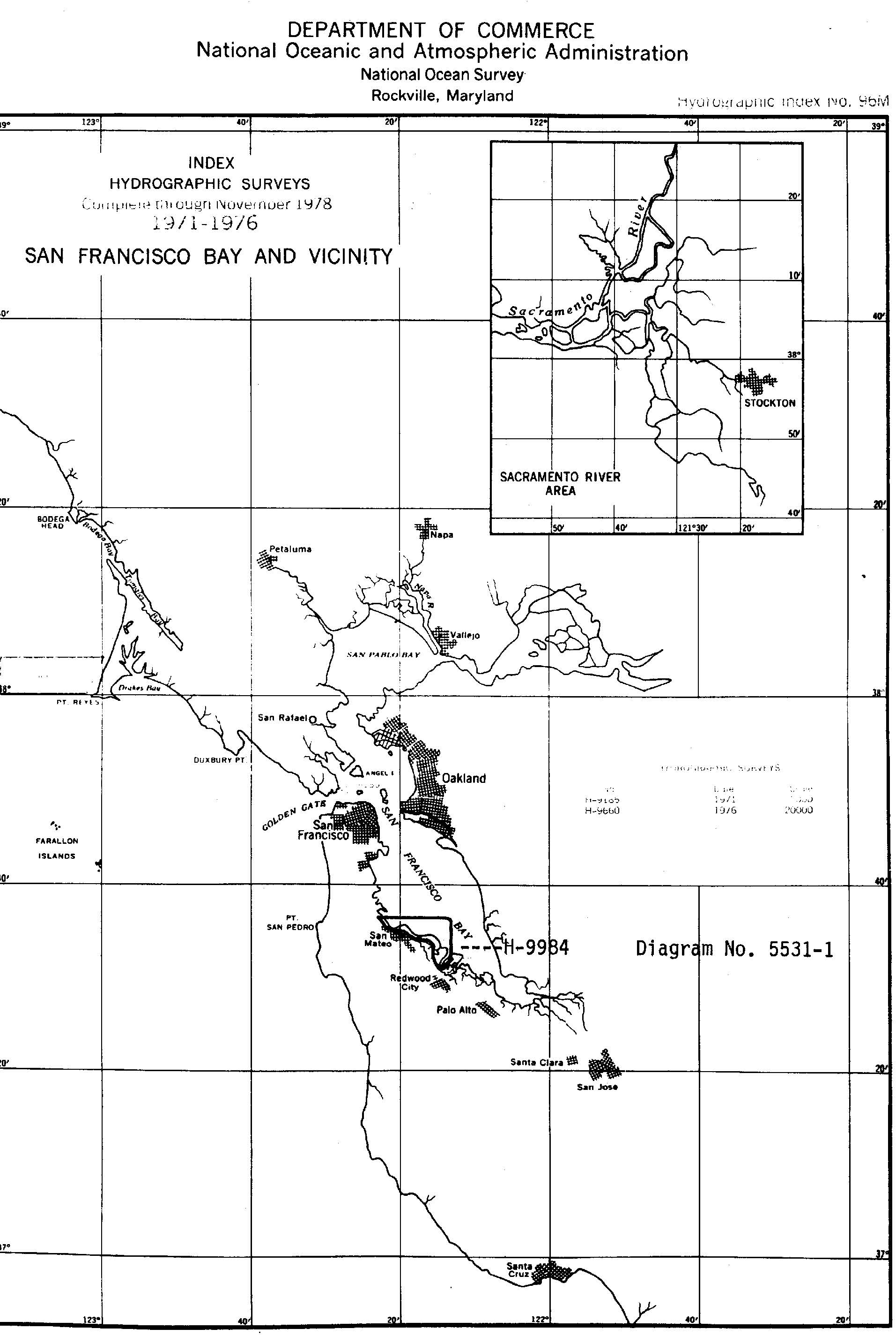
H09984: NOS Hydrographic Survey , San Mateo, California, 1983-05-30
National Oceanic and Atmospheric Administration, Department of Commerce —
The National Oceanic and Atmospheric Administration (NOAA) has the statutory mandate to collect hydrographic data in support of nautical chart compilation for safe... -
University
1935 15' Quad #149 Aerial Photo Mosaic Index
Earth Data Analysis Center, University of New Mexico —
Aerial Photo Reference Mosaics contain aerial photographs that are retrievable on a frame by frame basis. The inventory contains imagery from various sources that are... -
University
1935 15' Quad #150 Aerial Photo Mosaic Index
Earth Data Analysis Center, University of New Mexico —
Aerial Photo Reference Mosaics contain aerial photographs that are retrievable on a frame by frame basis. The inventory contains imagery from various sources that are... -
Federal
TIGER/Line Shapefile, 2020, County, San Mateo County, CA, Topological Faces (Polygons With All Geocodes)
U.S. Census Bureau, Department of Commerce —
The TIGER/Line shapefiles and related database files (.dbf) are an extract of selected geographic and cartographic information from the U.S. Census Bureau's Master... -
Federal
TIGER/Line Shapefile, 2021, County, San Mateo County, CA, All Roads
U.S. Census Bureau, Department of Commerce —
The TIGER/Line shapefiles and related database files (.dbf) are an extract of selected geographic and cartographic information from the U.S. Census Bureau's Master... -
Federal
TIGER/Line Shapefile, 2022, County, San Mateo County, CA, Address Range-Feature
U.S. Census Bureau, Department of Commerce —
The TIGER/Line shapefiles and related database files (.dbf) are an extract of selected geographic and cartographic information from the U.S. Census Bureau's Master... -
Federal
TIGER/Line Shapefile, Current, County, San Mateo County, CA, All Roads
U.S. Census Bureau, Department of Commerce —
This resource is a member of a series. The TIGER/Line shapefiles and related database files (.dbf) are an extract of selected geographic and cartographic information... -
Federal
TIGER/Line Shapefile, 2022, County, San Mateo County, CA, All Roads
U.S. Census Bureau, Department of Commerce —
The TIGER/Line shapefiles and related database files (.dbf) are an extract of selected geographic and cartographic information from the U.S. Census Bureau's Master... -
Federal
TIGER/Line Shapefile, 2023, County, San Mateo County, CA, Address Range-Feature Name Relationship File
U.S. Census Bureau, Department of Commerce —
The TIGER/Line shapefiles and related database files (.dbf) are an extract of selected geographic and cartographic information from the U.S. Census Bureau's Master... -
Federal
TIGER/Line Shapefile, 2022, County, San Mateo County, CA, Area Hydrography
U.S. Census Bureau, Department of Commerce —
The TIGER/Line shapefiles and related database files (.dbf) are an extract of selected geographic and cartographic information from the U.S. Census Bureau's Master... -
Federal
TIGER/Line Shapefile, 2022, County, San Mateo County, CA, Topological Faces (Polygons With All Geocodes)
U.S. Census Bureau, Department of Commerce —
The TIGER/Line shapefiles and related database files (.dbf) are an extract of selected geographic and cartographic information from the U.S. Census Bureau's Master... -
Federal
TIGER/Line Shapefile, 2023, County, San Mateo County, CA, Address Ranges Relationship File
U.S. Census Bureau, Department of Commerce —
The TIGER/Line shapefiles and related database files (.dbf) are an extract of selected geographic and cartographic information from the U.S. Census Bureau's Master... -
Federal
TIGER/Line Shapefile, 2022, County, San Mateo County, CA, Feature Names Relationship File
U.S. Census Bureau, Department of Commerce —
The TIGER/Line shapefiles and related database files (.dbf) are an extract of selected geographic and cartographic information from the U.S. Census Bureau's Master... -
Federal
TIGER/Line Shapefile, 2022, County, San Mateo County, CA, Linear Hydrography
U.S. Census Bureau, Department of Commerce —
The TIGER/Line shapefiles and related database files (.dbf) are an extract of selected geographic and cartographic information from the U.S. Census Bureau's Master... -
Federal
TIGER/Line Shapefile, 2022, County, San Mateo County, CA, Address Range-Feature Name Relationship File
U.S. Census Bureau, Department of Commerce —
The TIGER/Line shapefiles and related database files (.dbf) are an extract of selected geographic and cartographic information from the U.S. Census Bureau's Master... -
Federal
TIGER/Line Shapefile, 2022, County, San Mateo County, CA, All Lines
U.S. Census Bureau, Department of Commerce —
The TIGER/Line shapefiles and related database files (.dbf) are an extract of selected geographic and cartographic information from the U.S. Census Bureau's Master... -
Federal
TIGER/Line Shapefile, 2022, County, San Mateo County, CA, Topological Faces-Area Hydrography Relationship File
U.S. Census Bureau, Department of Commerce —
The TIGER/Line shapefiles and related database files (.dbf) are an extract of selected geographic and cartographic information from the U.S. Census Bureau's Master... -
Federal
TIGER/Line Shapefile, 2023, County, San Mateo County, CA, Topological Faces (Polygons With All Geocodes)
U.S. Census Bureau, Department of Commerce —
The TIGER/Line shapefiles and related database files (.dbf) are an extract of selected geographic and cartographic information from the U.S. Census Bureau's Master... -
Federal
TIGER/Line Shapefile, 2023, County, San Mateo County, CA, Area Hydrography
U.S. Census Bureau, Department of Commerce —
The TIGER/Line shapefiles and related database files (.dbf) are an extract of selected geographic and cartographic information from the U.S. Census Bureau's Master... -
Federal
TIGER/Line Shapefile, 2023, County, San Mateo County, CA, Linear Hydrography
U.S. Census Bureau, Department of Commerce —
The TIGER/Line shapefiles and related database files (.dbf) are an extract of selected geographic and cartographic information from the U.S. Census Bureau's Master...

Official websites use .gov
A
.gov website belongs to an official government
organization in the United States.
Secure .gov websites use HTTPS
A
lock (
) or https:// means you’ve safely connected to
the .gov website. Share sensitive information only on official,
secure websites.