
-
Federal
Streamflow characteristics for sites used in RESTORE Streamflow alteration assessments
Department of the Interior —
A total of 193 streamflow characteristics (SFCs) were calculated from daily streamflow values for data from 1,371 USGS streamgages located on tributaries and streams... -
Federal
2 Observations: Deep learning approaches for improving prediction of daily stream temperature in data-scarce, unmonitored, and dammed basins
Department of the Interior —
This data release component contains mean daily stream water temperature observations, retrieved from the USGS National Water Information System (NWIS) and used to... -
Federal
Hazard curve data for annual rate of exceedance versus 1.0-second spectral response acceleration
Department of the Interior —
A one-year seismic hazard forecast for the Central and Eastern United States, based on induced and natural earthquakes, has been produced by the U.S. Geological... -
Federal
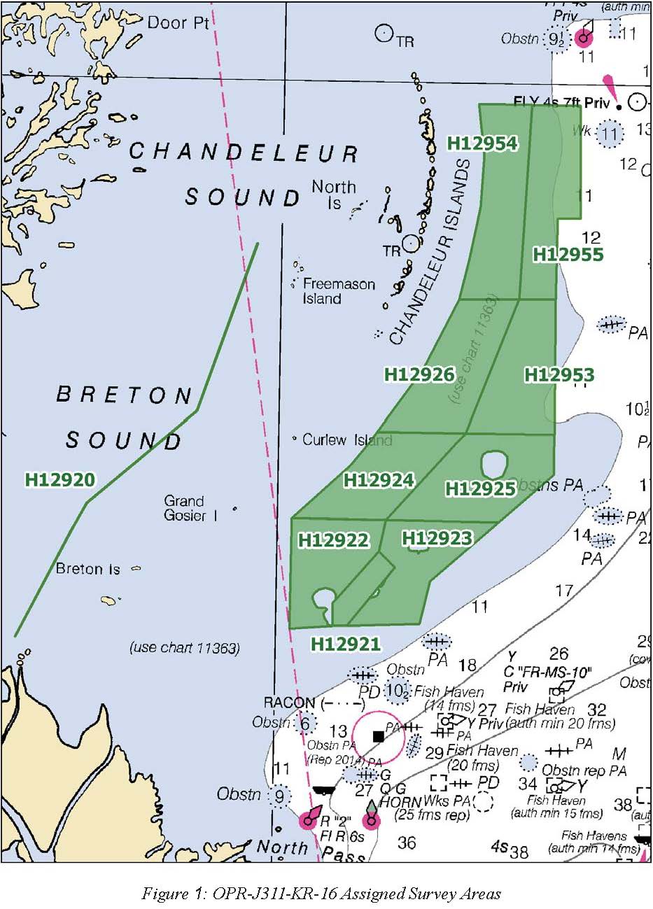
H12921: NOS Hydrographic Survey , 2016-08-19
National Oceanic and Atmospheric Administration, Department of Commerce —
The National Oceanic and Atmospheric Administration (NOAA) has the statutory mandate to collect hydrographic data in support of nautical chart compilation for safe... -
Federal
Synthesis of Gulf Coast Management Plans and Restoration Project Values, Stressors, and Strategies (2020-2021)
Department of the Interior —
Dataset of segments (e.g. phrases, sentences, paragraphs) associated with ecological values, human community values, stressors, or restoration strategies found within... -
Federal
H12954: NOS Hydrographic Survey , 2016-11-16
National Oceanic and Atmospheric Administration, Department of Commerce —
The National Oceanic and Atmospheric Administration (NOAA) has the statutory mandate to collect hydrographic data in support of nautical chart compilation for safe... -
Federal
H12924: NOS Hydrographic Survey , 2016-11-18
National Oceanic and Atmospheric Administration, Department of Commerce —
The National Oceanic and Atmospheric Administration (NOAA) has the statutory mandate to collect hydrographic data in support of nautical chart compilation for safe... -
Federal
Single-Beam Bathymetry XYZ Data Collected in 2015 from Grand Bay, Alabama/Mississippi
Department of the Interior —
As part of the Sea level and Storm Impacts on Estuarine Environments and Shorelines project (SSIEES), scientists from the U.S. Geological Survey (USGS) St. Petersburg... -
Federal
H13490: NOS Hydrographic Survey , 2021-10-14
National Oceanic and Atmospheric Administration, Department of Commerce —
The National Oceanic and Atmospheric Administration (NOAA) has the statutory mandate to collect hydrographic data in support of nautical chart compilation for safe... -
Federal
Chemical and physical oceanographic profile data collected from CTD casts aboard the Arctic in the Gulf of Mexico from 2010-09-09 to 2010-09-14 in response to the Deepwater Horizon oil spill event (NCEI Accession 0068955)
National Oceanic and Atmospheric Administration, Department of Commerce —
Chemical and physical oceanographic profile data were collected aboard the Arctic in the Gulf of Mexico from 2010-09-09 to 2010-09-14 in response to the Deepwater... -
Federal
H11618: NOS Hydrographic Survey , Mississippi Sound, Mississippi, 2007-03-18
National Oceanic and Atmospheric Administration, Department of Commerce —
The National Oceanic and Atmospheric Administration (NOAA) has the statutory mandate to collect hydrographic data in support of nautical chart compilation for safe... -
Federal
H13064: NOS Hydrographic Survey , Mississippi Sound and Vicinity, 2018-04-19
National Oceanic and Atmospheric Administration, Department of Commerce —
The National Oceanic and Atmospheric Administration (NOAA) has the statutory mandate to collect hydrographic data in support of nautical chart compilation for safe... -
Federal
NRDA-processed CTD data from the JACK FITZ in the Gulf of Mexico, Cruise 1 Leg 1, collected from 2010-05-10 to 2010-05-13, associated with the Deepwater Horizon Oil Spill event (NCEI Accession 0128137)
National Oceanic and Atmospheric Administration, Department of Commerce —
Conductivity Temperature and Depth (CTD) measurements were collected aboard R/V Jack Fitz, Cruise 01, to determine physical oceanographic parameters of the water... -
Federal
H12471: NOS Hydrographic Survey , 2013-02-04
National Oceanic and Atmospheric Administration, Department of Commerce —
The National Oceanic and Atmospheric Administration (NOAA) has the statutory mandate to collect hydrographic data in support of nautical chart compilation for safe... -
Federal
H12469: NOS Hydrographic Survey , Approaches to Mississippi sound, Mississippi, 2012-11-04
National Oceanic and Atmospheric Administration, Department of Commerce —
The National Oceanic and Atmospheric Administration (NOAA) has the statutory mandate to collect hydrographic data in support of nautical chart compilation for safe... -
Federal
H13488: NOS Hydrographic Survey , 2021-10-13
National Oceanic and Atmospheric Administration, Department of Commerce —
The National Oceanic and Atmospheric Administration (NOAA) has the statutory mandate to collect hydrographic data in support of nautical chart compilation for safe... -
Federal
H13065: NOS Hydrographic Survey , Mississippi Sound and Vicinity, 2018-01-20
National Oceanic and Atmospheric Administration, Department of Commerce —
The National Oceanic and Atmospheric Administration (NOAA) has the statutory mandate to collect hydrographic data in support of nautical chart compilation for safe... -
Federal
Chemical, physical, profile and laboratory analysis oceanographic data collected aboard the Brooks McCall in the Gulf of Mexico from 2010-08-15 to 2010-08-19 in response to the Deepwater Horizon Oil Spill event (NCEI Accession 0069057)
National Oceanic and Atmospheric Administration, Department of Commerce —
Chemical, physical, profile and laboratory analysis oceanographic data were collected aboard the Brooks McCall in the Gulf of Mexico from 2010-08-15 to 2010-08-19 in... -
Federal
H13059: NOS Hydrographic Survey , Mississippi Sound and Vicinity, 2018-01-22
National Oceanic and Atmospheric Administration, Department of Commerce —
The National Oceanic and Atmospheric Administration (NOAA) has the statutory mandate to collect hydrographic data in support of nautical chart compilation for safe... -
Federal
NRDA-processed CTD data from NOAA Ship PISCES in the Gulf of Mexico, Cruise 10 Leg 1, collected from 2011-06-23 to 2011-06-30, associated with the Deepwater Horizon Oil Spill event (NCEI Accession 0130070)
National Oceanic and Atmospheric Administration, Department of Commerce —
Conductivity Temperature and Depth (CTD) measurements were collected aboard NOAA Ship Pisces to determine physical oceanographic parameters of the water column, and...

Official websites use .gov
A
.gov website belongs to an official government
organization in the United States.
Secure .gov websites use HTTPS
A
lock (
) or https:// means you’ve safely connected to
the .gov website. Share sensitive information only on official,
secure websites.
.jpg)