

11 datasets found
-
Federal
Forest Carbon Stocks and Fluxes from the NFCMS, Conterminous USA, 1990-2010
National Aeronautics and Space Administration —
This dataset, derived from the National Forest Carbon Monitoring System (NFCMS), provides estimates of forest carbon stocks and fluxes in the form of aboveground... -
Federal
Remote Sensing Data Before and After California Rim and King Forest Fires, 2010-2015
National Aeronautics and Space Administration —
This data set provides high-resolution surface reflectance, thermal imagery, burn severity metrics, and LiDAR-derived structural measures of forested areas in the... -
Federal
NACP: Forest Carbon Stocks, Fluxes and Productivity Estimates, Western USA, 1979-2099
National Aeronautics and Space Administration —
This dataset contains annual estimates of carbon stocks, fluxes, and productivity over forested land in 11 states of the western USA (Arizona, California, Colorado,... -
Federal
Global Forest Ecosystem Structure and Function Data For Carbon Balance Research
National Aeronautics and Space Administration —
A comprehensive global database has been assembled to quantify CO2 fluxes and pathways across different levels of integration (from photosynthesis up to net ecosystem... -
Federal
ABoVE: Landsat-derived Burn Scar dNBR across Alaska and Canada, 1985-2015
National Aeronautics and Space Administration —
This dataset contains differenced Normalized Burned Ratio (dNBR) at 30-m resolution calculated for burn scars from fires that occurred within the Arctic Boreal and... -
Federal
BOREAS SERM Forest Cover Data Layers of the SSA in Vector Format
National Aeronautics and Space Administration —
This data set was prepared by the SERM-FBIU. The data include information on forest parameters and cover the area in and near the BOREAS SSA, excluding the PANP. -
Federal
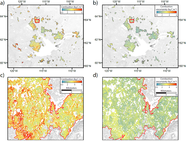
ABoVE: Wildfire Carbon Emissions and Burned Plot Characteristics, NWT, CA, 2014-2016
National Aeronautics and Space Administration —
This dataset provides estimates of wildfire carbon emissions and uncertainties at 30-m resolution, and measurements collected at burned and unburned field plots from... -
Federal
Aerial Photographs (from AMES Pilot Land Data System); USGS EDC, Sioux Falls
National Aeronautics and Space Administration —
The aerial photography inventoried by the Pilot Land Data System (PLDS) at NASA AMES Research Center has been transferred to the USGS EROS Data Center. The photos... -
Federal
Annual wildland fire emissions (WFEIS v0.5) for Conterminous US and Alaska, 2001-2013 NGDA
National Aeronautics and Space Administration —
This data set contains annual modeled estimates of wildland fire emissions at 0.01 degree (~1-km) spatial resolution from the Wildland Fire Emissions Information... -
Federal
Smoke/Sulfates, Clouds and Radiation Experiment in Brazil (SCAR-B) Data Set Version 5.5
National Aeronautics and Space Administration —
SCAR_B_G8_FIRE data are Smoke/Sulfates, Clouds and Radiation Experiment in Brazil, GOES-8 ABBA Diurnal Fire Product (1995 Fire Season) data.Smoke/Sulfates, Clouds and...
11 datasets found