
-
Federal
NLDAS Secondary Forcing Data L4 Hourly 0.125 x 0.125 degree V2.0 (NLDAS_FORB0125_H) at GES DISC
National Aeronautics and Space Administration —
This data set contains the secondary forcing hourly data "File B" for Phase 2 of the North American Land Data Assimilation System (NLDAS-2). The data are in 1/8th... -
Federal
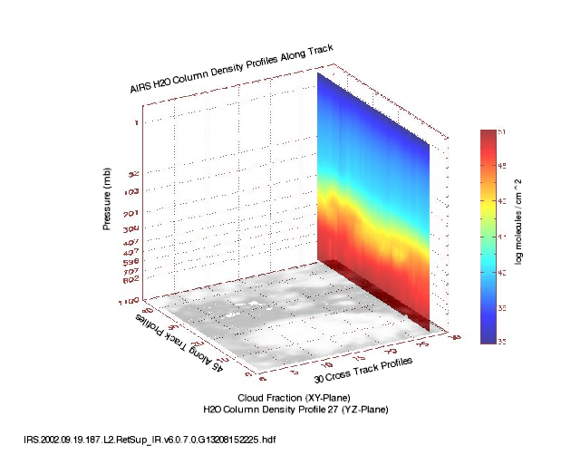
AIRS/Aqua L2 Support Retrieval (AIRS-only) V006 (AIRS2SUP) at GES DISC
National Aeronautics and Space Administration —
The Atmospheric Infrared Sounder (AIRS) is a grating spectrometer (R = 1200) aboard the second Earth Observing System (EOS) polar-orbiting platform, EOS Aqua. In... -
Federal
BOREAS/SRC AMS Suite A Surface Meteorological and Radiation Data: 1996
National Aeronautics and Space Administration —
Contains the data collected in 1996 by the AMS suite A instrument set operated by SRC and provided to BORIS. -
Federal
ECOSTRESS Gridded Top of Atmosphere Calibrated Radiance Instantaneous L1C Global 70 m V002
National Aeronautics and Space Administration —
The ECOsystem Spaceborne Thermal Radiometer Experiment on Space Station (ECOSTRESS) mission measures the temperature of plants to better understand how much water... -
Federal
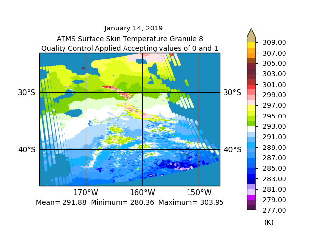
Sounder SIPS: JPSS-1 ATMS Level 2 RAMSES2 Standard: Atmosphere, precipitation and surface geophysical state V3 (SNDRJ1ML2RMS) at GES DISC
National Aeronautics and Space Administration —
This level 2 product is generated by the RAMSES (Retrieval Algorithm for Microwave Sounders in Earth Science II algorithm.The RAMSES II algorithm is a microwave only... -
Federal
MODIS/Terra Land Surface Temperature/Emissivity Daily L3 Global 1km SIN Grid V061 NGDA
National Aeronautics and Space Administration —
The MOD11A1 Version 6.1 product provides daily per-pixel Land Surface Temperature and Emissivity (LST&E) with 1 kilometer (km) spatial resolution in a 1,200 by... -
Federal
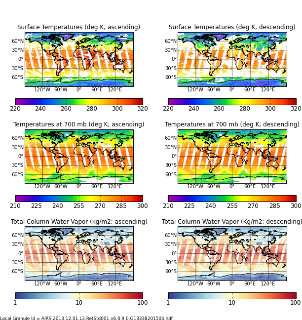
Aqua/AIRS L3 Daily Standard Physical Retrieval (AIRS+AMSU) 1 degree x 1 degree V7.0 at GES DISC
National Aeronautics and Space Administration —
The Atmospheric Infrared Sounder (AIRS) is a grating spectrometer (R = 1200) aboard the second Earth Observing System (EOS) polar-orbiting platform, EOS Aqua. In... -
Federal
SE-590 Reflectance & Radiances (FIFE)
National Aeronautics and Space Administration —
SE-590 reflectance factors and radiances measured from a helicopter -
Federal
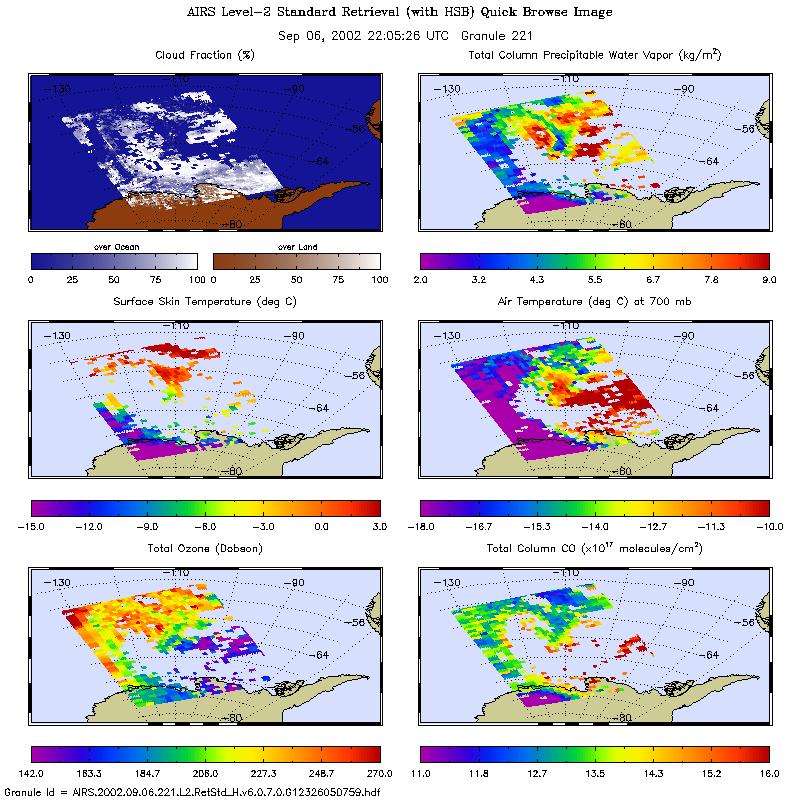
AIRS/Aqua L2 Standard Physical Retrieval (AIRS+AMSU+HSB) V006 (AIRH2RET) at GES DISC
National Aeronautics and Space Administration —
The Atmospheric Infrared Sounder (AIRS) is a grating spectrometer (R = 1200) aboard the second Earth Observing System (EOS) polar-orbiting platform, EOS Aqua. In... -
Federal
MASTER: HyspIRI Airborne Campaign, California, Spring 2015
National Aeronautics and Space Administration —
This dataset includes Level 1B (L1B) and Level 2 (L2) data products from the MODIS/ASTER Airborne Simulator (MASTER) instrument. The spectral data were collected as... -
Federal
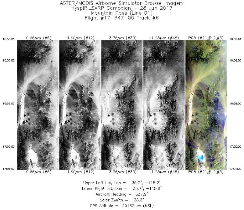
MASTER: HyspIRI Airborne Campaign, California, Summer 2017
National Aeronautics and Space Administration —
This dataset includes Level 1B (L1B) and Level 2 (L2) data products from the MODIS/ASTER Airborne Simulator (MASTER) instrument. The spectral data were collected as... -
Federal
GLDAS Noah Land Surface Model L4 3 hourly 1.0 x 1.0 degree V2.1 (GLDAS_NOAH10_3H) at GES DISC
National Aeronautics and Space Administration —
NASA Global Land Data Assimilation System Version 2 (GLDAS-2) has three components: GLDAS-2.0, GLDAS-2.1, and GLDAS-2.2. GLDAS-2.0 is forced entirely with the... -
Federal
MODIS/Terra Land Surface Temperature/3-Band Emissivity 5-Min L2 1km NRT NGDA
National Aeronautics and Space Administration —
The MODIS/Terra Land Surface Temperature/3-Band Emissivity (LST&E) 5-Min L2 1km data product, short-name MOD21 is produced daily in five minute temporal... -
Federal
TOVS GLA 5 DAY GRIDS from NOAA-10 V01 (TOVSA5NG) at GES DISC
National Aeronautics and Space Administration —
This dataset (TOVSA5NG) contains the TIROS Operational Vertical Sounder (TOVS) level 3 geophysical parameters derived using data from NOAA-10 and the physical... -
Federal
MODIS/Terra Land Surface Temperature/Emissivity 8-Day L3 Global 0.05Deg CMG V061 NGDA
National Aeronautics and Space Administration —
The MOD11C2 Version 6.1 product provides Land Surface Temperature and Emissivity (LST&E) values in a 0.05 degree (5,600 meters at the equator) latitude/longitude... -
Federal
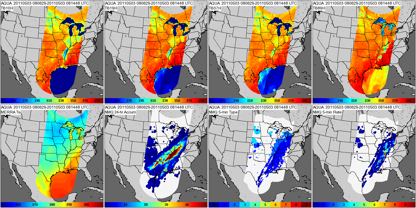
GPM GROUND VALIDATION COMPOSITE SATELLITE OVERPASSES MC3E V1
National Aeronautics and Space Administration —
The GPM Ground Validation Composite Satellite Overpasses MC3E dataset provides satellite overpasses from the AQUA satellite during the Midlatitude Continental... -
Federal
AIRS/Aqua L3 Daily Support Daily Product (AIRS+AMSU+HSB) 1 degree x 1 degree V006 (AIRH3SPD) at GES DISC
National Aeronautics and Space Administration —
The Atmospheric Infrared Sounder (AIRS) is a grating spectrometer (R = 1200) aboard the second Earth Observing System (EOS) polar-orbiting platform, EOS Aqua. In... -
Federal
MODIS/Aqua Land Surface Temperature/3-Band Emissivity 5-Min L2 1km NRT NGDA
National Aeronautics and Space Administration —
The MODIS/Aqua Land Surface Temperature/3-Band Emissivity (LST&E) 5-Min L2 1km data product, short-name MYD21 is produced daily in five minute temporal increments... -
Federal
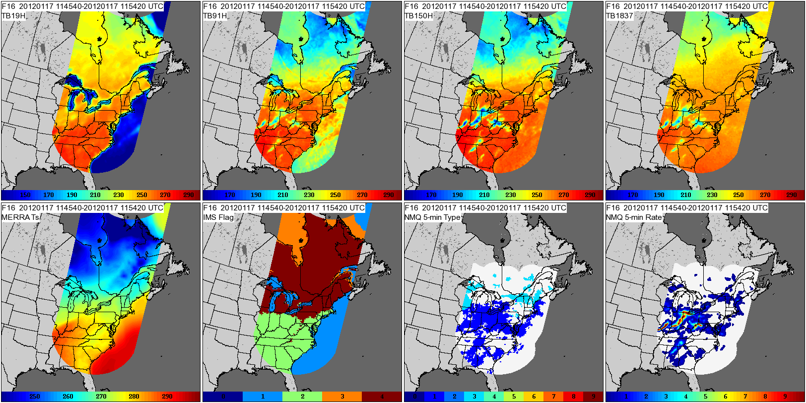
GPM GROUND VALIDATION COMPOSITE SATELLITE OVERPASSES GCPEX V1
National Aeronautics and Space Administration —
The GPM Ground Validation Composite Satellite Overpasses GCPEx dataset provides satellite overpasses from the Special Sensor Microwave Imager/Sounder (SSMIS)... -
Federal
MODIS/Terra Land Surface Temperature/Emissivity Daily L3 Global 0.05Deg CMG V061 NGDA
National Aeronautics and Space Administration —
The MOD11C1 Version 6.1 product provides daily Land Surface Temperature and Emissivity (LST&E) values in a 0.05 degree (5,600 meters at the equator)...

Official websites use .gov
A
.gov website belongs to an official government
organization in the United States.
Secure .gov websites use HTTPS
A
lock (
) or https:// means you’ve safely connected to
the .gov website. Share sensitive information only on official,
secure websites.