
-
Federal
GEWEX SRB Integrated Product (Rel-4) Ancillary 3-Hourly
National Aeronautics and Space Administration —
GEWEX SRB Integrated Product (Rel-4) Ancillary 3-Hourly contains the global fields of meteorology, clouds and other ancillary data that serves as the inputs to the... -
Federal
GEWEX SRB Integrated Product (Rel-4) Ancillary 3-Hourly Ocean-only
National Aeronautics and Space Administration —
GEWEXSRB_Rel4-IP_Ancillary_3hrly_oceanonly is the Global Energy and Water Exchanges (GEWEX) Surface Radiation Budget (SRB) Integrated Product (Rel-4) Ancillary... -
Federal
GPM GROUND VALIDATION GCPEX SNOW MICROPHYSICS CASE STUDY V1
National Aeronautics and Space Administration —
The GPM Ground Validation GCPEX Snow Microphysics Case Study characterizes the 3-D microphysical evolution and distribution of snow in context of the thermodynamic... -
Federal
GPM GROUND VALIDATION WYOMING KING AIR CLOUD MICROPHYSICS LPVEX V1
National Aeronautics and Space Administration —
The GPM Ground Validation Wyoming King Air Cloud Microphysics LPVEx dataset includes, in addition to aircraft parameters, many scientific parameters, such as static... -
Federal
International Satellite Cloud Climatology Project (ISCCP) Stage D1 3-Hourly Cloud Products - Revised Algorithm in Hierarchical Data Format
National Aeronautics and Space Administration —
ISCCP_D1_1 is the International Satellite Cloud Climatology Project (ISCCP) Stage D1 3-Hourly Cloud Products - Revised Algorithm data set in Hierarchical Data Format.... -
Federal
CLPX NOAA FSL Rapid Update Cycle 20 km (RUC-20) Dataset, Version 1
National Aeronautics and Space Administration —
The Rapid Update Cycle analysis/model system at a 20-km horizontal resolution (RUC20) provides short-range numerical weather guidance for general forecasting, as well... -
Federal
GEWEX SRB Integrated Product (Rel-4) Ancillary 3-Hourly Land-only
National Aeronautics and Space Administration —
GEWEXSRB_Rel4-IP_Ancillary_3hrly_landonly is the Global Energy and Water Exchanges (GEWEX) Surface Radiation Budget (SRB) Integrated Product (Release-4) Ancillary... -
Federal
CLPX-Model: Local Analysis and Prediction System: 4-D Atmospheric Analyses, Version 1
National Aeronautics and Space Administration —
The Local Analysis and Prediction System (LAPS), run by the NOAA's Forecast Systems Laboratory (FSL), combines numerous observed meteorological data sets into a... -
Federal
CLPX-Model: Rapid Update Cycle 40km (RUC-40) Model Output Reduced Data, Version 1
National Aeronautics and Space Administration —
The Rapid Update Cycle, version 2 at 40km (RUC-2, known to the Cold Land Processes community as RUC40) model is a Mesoscale Analysis and Prediction System (MAPS) data... -
Federal
Global 10-Year Mean Monthly Climatology, 1901-1990 (New et al.)
National Aeronautics and Space Administration —
A data set of decade-mean monthly surface climate over global land areas, excluding Antarctica. Interpolated from station data to 0.5 degree lat/lon for a range of... -
Federal
BOREAS AFM-08 ECMWF Hourly Surface and Upper Air Data for the SSA and NSA
National Aeronautics and Space Administration —
Hourly data from the ECMWF operational model from below the surface to the top of the atmosphere, including the model fluxes at the surface, at Candle Lake,... -
Federal
MERRA-2 tavgU_2d_int_Nx: 2d,diurnal,Time-Averaged,Single-Level,Assimilation,Vertically Integrated Diagnostics 0.625 x 0.5 degree V5.12.4 (M2TUNXINT) at GES DISC
National Aeronautics and Space Administration —
M2TUNXINT (or tavgU_2d_int_Nx) is a time-averaged 2-dimensional monthly diurnal means data collection in Modern-Era Retrospective analysis for Research and... -
Federal
MERRA-2 tavg1_2d_int_Nx: 2d,1-Hourly,Time-Averaged,Single-Level,Assimilation,Vertically Integrated Diagnostics 0.625 x 0.5 degree V5.12.4 (M2T1NXINT) at GES DISC
National Aeronautics and Space Administration —
M2T1NXINT (or tavg1_2d_int_Nx) is an hourly time-averaged 2-dimensional data collection in Modern-Era Retrospective analysis for Research and Applications version 2... -
Federal
International Satellite Cloud Climatology Project (ISCCP) Stage D2 Monthly Cloud Products - Revised Algorithm in Hierarchical Data Format
National Aeronautics and Space Administration —
The ISCCP_D2 data set contains monthly, 280 KM equal-area grid data from various polar and geostationary satellites. Climatological Summary Product contents contain... -
Federal
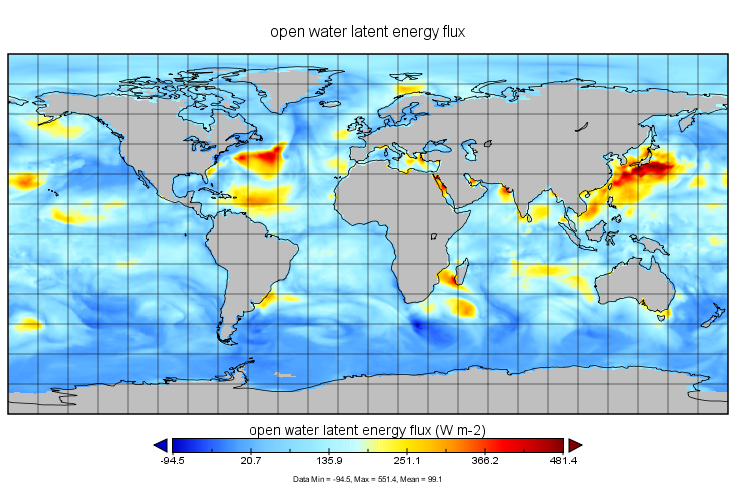
MERRA-2 tavg1_2d_ocn_Nx: 2d,1-Hourly,Time-Averaged,Single-Level,Assimilation,Ocean Surface Diagnostics 0.625 x 0.5 degree V5.12.4 (M2T1NXOCN) at GES DISC
National Aeronautics and Space Administration —
M2T1NXOCN (or tavg1_2d_ocn_Nx) is an hourly time-averaged 2-dimensional data collection in Modern-Era Retrospective analysis for Research and Applications version 2... -
Federal
MERRA-2 tavgM_2d_int_Nx: 2d,Monthly mean,Time-Averaged,Single-Level,Assimilation,Vertically Integrated Diagnostics 0.625 x 0.5 degree V5.12.4 (M2TMNXINT) at GES DISC
National Aeronautics and Space Administration —
M2TMNXINT (or tavgM_2d_int_Nx) is a time-averaged 2-dimensional monthly mean data collection in Modern-Era Retrospective analysis for Research and Applications... -
Federal
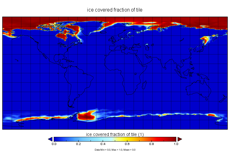
MERRA-2 tavgU_2d_ocn_Nx: 2d,diurnal,Time-Averaged,Single-Level,Assimilation,Ocean Surface Diagnostics 0.625 x 0.5 degree V5.12.4 (M2TUNXOCN) at GES DISC
National Aeronautics and Space Administration —
M2TUNXOCN (or tavgU_2d_ocn_Nx) is a time-averaged 2-dimensional monthly diurnal means data collection in Modern-Era Retrospective analysis for Research and...

Official websites use .gov
A
.gov website belongs to an official government
organization in the United States.
Secure .gov websites use HTTPS
A
lock (
) or https:// means you’ve safely connected to
the .gov website. Share sensitive information only on official,
secure websites.