
-
Federal
First ISCCP Regional Experiment (FIRE) Atlantic Stratocumulus Transition Experiment (ASTEX) ECMWF Surface Diagnostics
National Aeronautics and Space Administration —
A special set of analysis products for the Atlantic Stratocumulus Transition Experiment (ASTEX) region during June 1-28, 1992 was prepared by Ernst Klinker and Tony... -
Federal
TES/Aura L2 Methanol Nadir Special Observation V008
National Aeronautics and Space Administration —
TL2MTLNS_8 is the Tropospheric Emission Spectrometer (TES)/Aura Level 2 Methanol Nadir Special Observation Version 8 data product. TES was an instrument aboard NASA's... -
Federal
First ISCCP Regional Experiment (FIRE) Atlantic Stratocumulus Transition Experiment (ASTEX) United Kingdom Meteorological Office (UKMO) C-130 Aircraft Data
National Aeronautics and Space Administration —
The First ISCCP Regional Experiments have been designed to improve data products and cloud/radiation parameterizations used in general circulation models (GCMs).... -
Federal
CERES Daily Daytime Mean Regionally Averaged Terra and Aqua TOA Fluxes and Associated Cloud Properties Stratified by Optical Depth and Effective Pressure Edition4A NGDA
National Aeronautics and Space Administration —
CER_FluxByCldTyp-Day_Terra-Aqua-MODIS_Edition4A is the Clouds and the Earth's Radiant Energy System (CERES) Daily Daytime Mean Regionally Averaged Terra and Aqua Top-... -
Federal
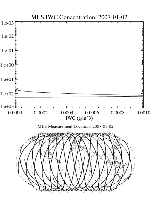
MLS/Aura Level 3 Daily Binned Cloud Ice (IWC) on Assorted Grids V005 (ML3DBIWC) at GES DISC
National Aeronautics and Space Administration —
ML3DBIWC is the EOS Aura Microwave Limb Sounder (MLS) daily binned on various vertical grids product for cloud ice water content (IWC) derived from radiances measured... -
Federal
MISR Near Real Time (NRT) Level 2 Cloud Motion Vector parameters in BUFR format V001
National Aeronautics and Space Administration —
This is the MISR Level 2 Cloud Motion Vector Product containing height-resolved cloud motion vectors with associated data in BUFR format. It is used for MISR Near... -
Federal
MISR Level 2 TOA/Cloud Classifier parameters V003
National Aeronautics and Space Administration —
Multi-angle Imaging SpectroRadiometer (MISR) is an instrument designed to view Earth with cameras pointed in 9 different directions. As the instrument flies overhead,... -
Federal
First ISCCP Regional Experiment (FIRE) Atlantic Stratocumulus Transition Experiment (ASTEX) ECMWF Cloud Data
National Aeronautics and Space Administration —
A special set of analysis products for the Atlantic Stratocumulus Transition Experiment (ASTEX) region during June 1-28, 1992 was prepared by Ernst Klinker and Tony... -
Federal
MLS/Aura Level 2 Cloud Ice Product V004 (ML2IWC) at GES DISC
National Aeronautics and Space Administration —
ML2IWC is the EOS Aura Microwave Limb Sounder (MLS) standard product for cloud ice water content derived from radiances measured by the 240 GHz radiometer. The data... -
Federal
GEWEX SRB Integrated Product (Rel-4) Ancillary 3-Hourly
National Aeronautics and Space Administration —
GEWEX SRB Integrated Product (Rel-4) Ancillary 3-Hourly contains the global fields of meteorology, clouds and other ancillary data that serves as the inputs to the... -
Federal
GPM Ground Validation Optical Disdrometer (ODM) LPVEx V1
National Aeronautics and Space Administration —
The GPM Ground Validation Optical Disdrometer (ODM) LPVEx dataset consists of precipitation particle size distribution data collected by the Eigenbrodt Optical... -
Federal
CAR LEADEX Arctic Sea Ice and Tundra Radiation Measurements L1 V1 (CAR_LEADEX_L1C) at GES DISC
National Aeronautics and Space Administration —
CAR LEADEX mission measured bidirectional reflectance functions for four common arctic surfaces: snow covered sea ice, melt season sea ice, snow covered tundra, and... -
Federal
SatCORPS CERES GEO Edition 4 GOES-18 Southern Hemisphere Version 1.2
National Aeronautics and Space Administration —
CER_GEO_Ed4_GOE18_SH_V01.2 is the Satellite ClOud and Radiation Property retrieval System (SatCORPS) Clouds and the Earth's Radiant Energy System (CERES)... -
Federal
CALIPSO Infrared Imaging Radiometer (IIR) Level 2 Track, V4-20
National Aeronautics and Space Administration —
CAL_IIR_L2_Track-Standard-V4-20 is the Cloud-Aerosol Lidar and Infrared Pathfinder Satellite Observations (CALIPSO) Infrared Imaging Radiometer (IIR) Level 2 Track,... -
Federal
First ISCCP Regional Experiment (FIRE) Marine Stratocumulus Microwave Radiometer Data
National Aeronautics and Space Administration —
The First ISCCP Regional Experiments have been designed to improve data products and cloud/radiation parameterizations used in general circulation models (GCMs).... -
Federal
Sounder SIPS: Suomi NPP CrIMSS Level 3 Comprehensive Quality Control Gridded Monthly CHART Normal Spectral Resolution V1
National Aeronautics and Space Administration —
The objective of this limited edition data collection is to examine products generated by the Climate Heritage AIRS Retrieval Technique (CHART) algorithm to analyze... -
Federal
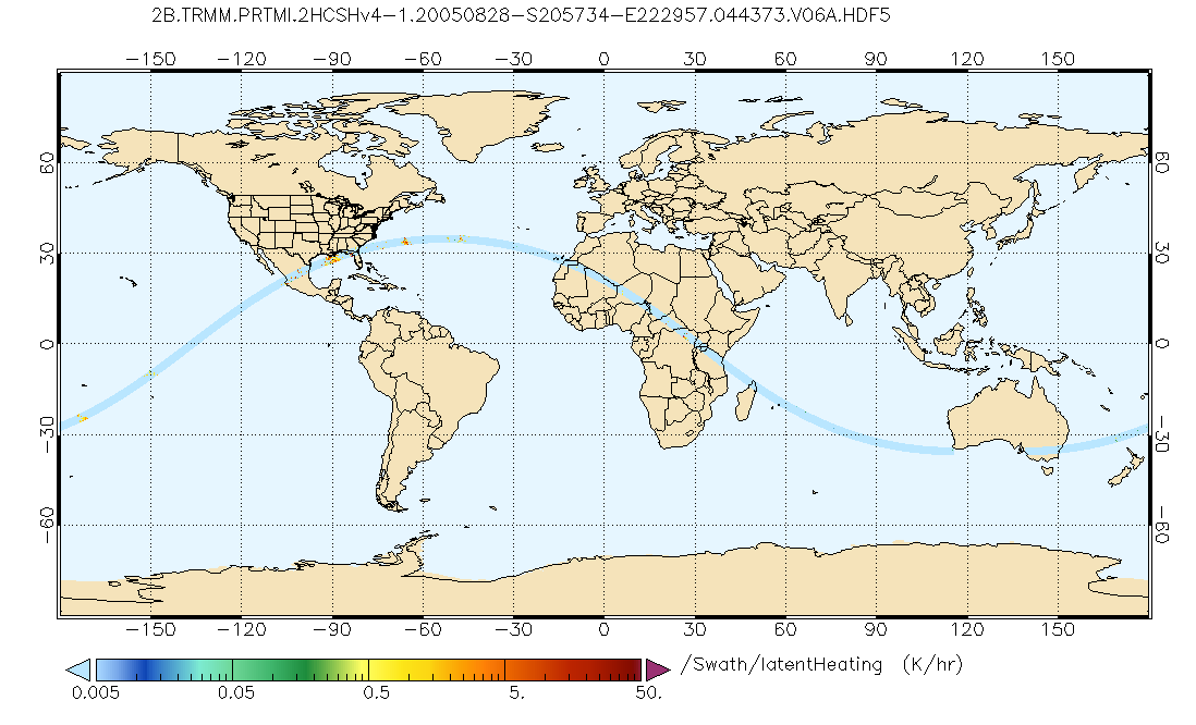
GPM PR and TMI on TRMM Combined Convective-Stratiform Latent Heating Profiles L2 1.5 hours 5 km V07 (GPM_2HCSH_TRMM) at GES DISC
National Aeronautics and Space Administration —
This is a new (GPM-formated) TRMM product. The equivalent old TRMM legacy product is TRMM_2H31. Version 07 is the current version of the data set. Older versions will... -
Federal
TOVS LMD DAILY GRIDS from NOAA-10 V01 (TOVSBDNG) at GES DISC
National Aeronautics and Space Administration —
Level 3 parameters from HIRS/2 and MSU radiances using the Improved Initialization Inversion (3I) classification retrieval scheme by the Laboratoire de Meteorologie... -
Federal
AIRS/Aqua L3 8-day Standard Physical Retrieval (AIRS+AMSU+HSB) 1 degree x 1 degree V006 (AIRH3ST8) at GES DISC
National Aeronautics and Space Administration —
The Atmospheric Infrared Sounder (AIRS) is a grating spectrometer (R = 1200) aboard the second Earth Observing System (EOS) polar-orbiting platform, EOS Aqua. In... -
Federal
CERES Time-Interpolated TOA Fluxes, Clouds and Aerosols Monthly NOAA-20 Edition1B
National Aeronautics and Space Administration —
The Clouds and the Earth's Radiant Energy System (CERES) Single Scanner Footprint One Degree (SSF1deg) Month provides monthly averages of regional constant...

Official websites use .gov
A
.gov website belongs to an official government
organization in the United States.
Secure .gov websites use HTTPS
A
lock (
) or https:// means you’ve safely connected to
the .gov website. Share sensitive information only on official,
secure websites.