
-
Federal
CALIPSO Lidar Level 1B profile data, V4-10
National Aeronautics and Space Administration —
CAL_LID_L1-Standard-V4-10 is the Cloud-Aerosol Lidar and Infrared Pathfinder Satellite Observation (CALIPSO) Lidar Level 1B profile data, Version 4-10 data product.... -
Federal
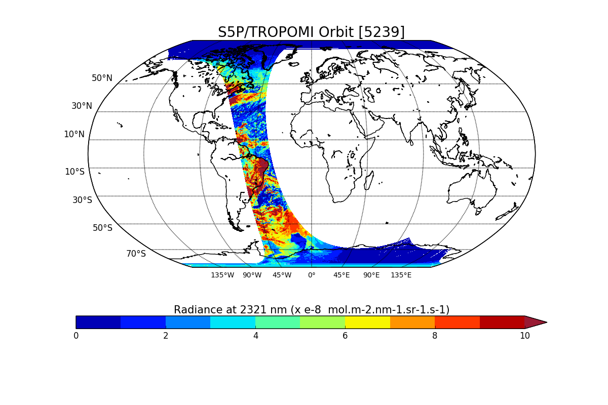
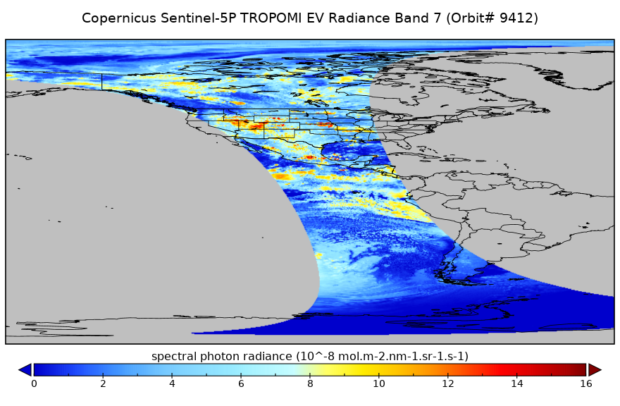
Sentinel-5P TROPOMI Radiance product band 7 (SWIR detector) L1B V1 (S5P_L1B_RA_BD7) at GES DISC
National Aeronautics and Space Administration —
Starting from August 6th in 2019, Sentinel-5P TROPOMI along-track high spatial resolution (~5.5km at nadir) has been implemented. For data after August 6th of 2019,... -
Federal
Sentinel-5P TROPOMI Radiance product band 1 (UV detector) L1B 5.5km x 21km V1 (S5P_L1B_RA_BD1_HiR) at GES DISC
National Aeronautics and Space Administration —
Starting from August 6th in 2019, Sentinel-5P TROPOMI along-track high spatial resolution (~5.5km at nadir) has been implemented. For data before August 6th of 2019,... -
Federal
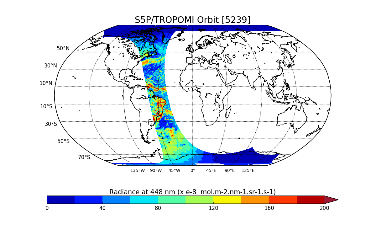
Sentinel-5P TROPOMI Radiance product band 4 (UVIS detector) L1B V1 (S5P_L1B_RA_BD4) at GES DISC
National Aeronautics and Space Administration —
Starting from August 6th in 2019, Sentinel-5P TROPOMI along-track high spatial resolution (~5.5km at nadir) has been implemented. For data after August 6th of 2019,... -
Federal
First ISCCP Regional Experiment (FIRE) Cirrus 1 Colorado State University Sabreliner Aircraft Radiometric and Meteorological Data
National Aeronautics and Space Administration —
This data set contains meteorological and radiometeric data from the NCAR Sabreliner aircraft that was collected during the 1986 FIRE Cirrus IFO. The NCAR Sabreliner... -
Federal
Sentinel-5P TROPOMI Radiance product band 2 (UV detector) L1B V1 (S5P_L1B_RA_BD2) at GES DISC
National Aeronautics and Space Administration —
Starting from August 6th in 2019, Sentinel-5P TROPOMI along-track high spatial resolution (~5.5km at nadir) has been implemented. For data after August 6th of 2019,... -
Federal
Sentinel-5P TROPOMI Radiance product band 5 (NIR detector) L1B 5.5km x 3.5km V2 (S5P_L1B_RA_BD5_HiR) at GES DISC
National Aeronautics and Space Administration —
Starting from August 6th in 2019, Sentinel-5P TROPOMI along-track high spatial resolution (~5.5km at nadir) has been implemented. For data before August 6th of 2019,... -
Federal
Sentinel-5P TROPOMI Radiance product band 8 (SWIR detector) L1B 5.5km x 7km V2 (S5P_L1B_RA_BD8_HiR) at GES DISC
National Aeronautics and Space Administration —
Starting from August 6th in 2019, Sentinel-5P TROPOMI along-track high spatial resolution (~5.5km at nadir) has been implemented. For data before August 6th of 2019,... -
Federal
Sounder SIPS: Suomi NPP CrIS Level-1B NSR Calibration Subset: Random full spectra V2 (SNDRSNIL1BCALSUBRNDN) at GES DISC
National Aeronautics and Space Administration —
The CrIS/ATMS instruments used for this product are on board the Suomi National Polar-orbiting Partnership (SNPP) platform and use the Normal Spectral Resolution... -
Federal
First ISCCP Regional Experiment (FIRE) Atlantic Stratocumulus Transition Experiment (ASTEX) PSU Malcolm Baldridge Data
National Aeronautics and Space Administration —
The First ISCCP Regional Experiments have been designed to improve data products and cloud/radiation parameterizations used in general circulation models (GCMs).... -
Federal
CERES Bidirectional Scans JPSS-1 FM6 Edition1-CV
National Aeronautics and Space Administration —
CER_BDS_J01-FM6_Edition1-CV is the Clouds and the Earth's Radiant Energy System (CERES) Bidirectional Scans (BDS) Joint Polar Satellite System 1 (NOAA-20) Flight... -
Federal
CERES Bidirectional Scans Aqua FM3 Edition4
National Aeronautics and Space Administration —
CER_BDS_Aqua-FM3_Edition4 is the Clouds and the Earth's Radiant Energy System (CERES) Bidirectional Scans (BDS) Aqua Flight Model 3 (FM3) Edition 4 data product,... -
Federal
CERES Bidirectional Scans Aqua FM4 Edition4
National Aeronautics and Space Administration —
CER_BDS_Aqua-FM4_Edition4 is the Clouds and the Earth's Radiant Energy System (CERES) Bidirectional Scans (BDS) Aqua Flight Model 4 (FM4) Edition 4 data product,... -
Federal
CALIPSO Lidar Level 1B profile data, V4-11
National Aeronautics and Space Administration —
CAL_LID_L1-Standard-V4-11 is the Cloud-Aerosol Lidar and Infrared Pathfinder Satellite Observation (CALIPSO) Lidar Level 1B profile data, Version 4-10 data product.... -
Federal
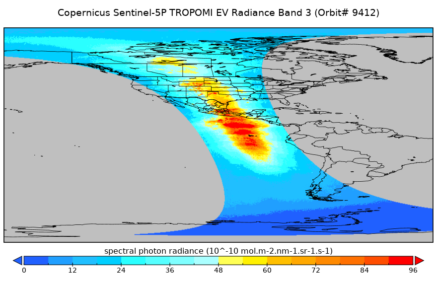
Sentinel-5P TROPOMI Radiance product band 3 (UVIS detector) L1B 5.5km x 3.5km V2 (S5P_L1B_RA_BD3_HiR) at GES DISC
National Aeronautics and Space Administration —
Starting from August 6th in 2019, Sentinel-5P TROPOMI along-track high spatial resolution (~5.5km at nadir) has been implemented. For data before August 6th of 2019,... -
Federal
MODIS/Aqua Clear Radiance Statistics Indexed to Global Grid 5-Min L2 Swath 10km NGDA
National Aeronautics and Space Administration —
The MODIS/Aqua Clear Radiance Statistics Indexed to Global Grid 5-Min L2 Swath 10km (MYDCSR_G)product provides a variety of, statistical measures that characterize... -
Federal
First ISCCP Regional Experiment (FIRE) Atlantic Stratocumulus Transition Experiment (ASTEX) CSU Surface Observations (FIRE_AX_CSU_MET_SFC)
National Aeronautics and Space Administration —
The First ISCCP Regional Experiments have been designed to improve data products and cloud/radiation parameterizations used in general circulation models (GCMs).... -
Federal
Sentinel-5P TROPOMI Radiance product band 7 (SWIR detector) L1B 5.5km x 7km V1 (S5P_L1B_RA_BD7_HiR) at GES DISC
National Aeronautics and Space Administration —
Starting from August 6th in 2019, Sentinel-5P TROPOMI along-track high spatial resolution (~5.5km at nadir) has been implemented. For data before August 6th of 2019,... -
Federal
MODIS/Terra Clear Sky Radiance 8-Day Composite Daily L3 Global 25km Equal Area NGDA
National Aeronautics and Space Administration —
The MODIS/Terra Clear Sky Radiance 8-Day Composite Daily L3 Global 25km Equal Area (MODCSR_8) product is created from composited MODCSR_D files. Nine clear-sky... -
Federal
Aircraft Scanners
National Aeronautics and Space Administration —
The National Aeronautics and Space Administration (NASA) Aircraft Scanners data set contains digital imagery acquired from several multispectral scanners, including...

Official websites use .gov
A
.gov website belongs to an official government
organization in the United States.
Secure .gov websites use HTTPS
A
lock (
) or https:// means you’ve safely connected to
the .gov website. Share sensitive information only on official,
secure websites.