
-
Federal
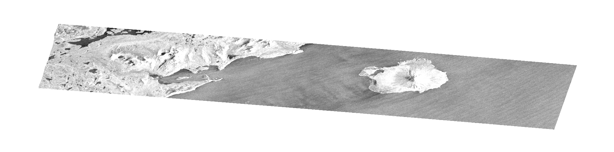
RADARSAT-1_LEVEL1
National Aeronautics and Space Administration —
RADARSAT-1 Level 1 Amplitude Images -
Federal
SMAP_L1B_SIGMA_NAUGHT_LOW_RES_QA_V002
National Aeronautics and Space Administration —
SMAP Level 1B Sigma Naught Low Res Data Quality Info Version 2 -
Federal
SMAP_L1A_RADAR_RECEIVE_ONLY_QA_V003
National Aeronautics and Space Administration —
SMAP Level 1A Radar Receive Only Data Quality Information Version 3 -
Federal
SMAP_L1A_RADAR_METADATA_V001
National Aeronautics and Space Administration —
SMAP Level 1A Radar Product Metadata -
Federal
AIRSAR_POLSAR_3_FREQ_POLARIMETRY
National Aeronautics and Space Administration —
AIRSAR three-frequency polarimetric frame product -
Federal
SENTINEL-1B_SINGLE_POL_GRD_HIGH_RES
National Aeronautics and Space Administration —
Sentinel-1B Single-pol ground projected high and full resolution images -
Federal
SMAP_L1C_SIGMA_NAUGHT_HIGH_RES_QA_V003
National Aeronautics and Space Administration —
SMAP Level 1C Sigma Naught High Res Data Quality Info Version 3 -
Federal
SEASAT_SAR_LEVEL1_GEOTIFF
National Aeronautics and Space Administration —
SEASAT Image GeoTIFF -
Federal
SENTINEL-1B_DUAL_POL_GRD_MEDIUM_RES
National Aeronautics and Space Administration —
Sentinel-1B Dual-pol ground projected medium resolution images -
Federal
ERS-2_LEVEL0
National Aeronautics and Space Administration —
ERS-2 Standard Beam Data Level 0 -
Federal
AIRSAR_POLSAR_SYNOPTIC_3_FREQ_POLARIMETRY
National Aeronautics and Space Administration —
AIRSAR three-frequency polarimetric synoptic product -
Federal
Global Sentinel-1 Burst ID Map
National Aeronautics and Space Administration —
Sentinel-1 performs systematic acquisition of bursts in both IW and EW modes. The bursts overlap almost perfectly between different passes and are always located at... -
Federal
UAVSAR_POLSAR_PAULI
National Aeronautics and Space Administration —
UAVSAR PolSAR Scene Pauli Decomposition -
Federal
OPERA Coregistered Single-Look Complex from Sentinel-1 validated product (Version 1)
National Aeronautics and Space Administration —
The Observational Products for End-Users from Remote Sensing Analysis (OPERA) Coregistered Single-Look Complex (CSLC) from Sentinel-1 validated product consists of... -
Federal
UAVSAR_POLSAR_ML_COMPLEX_GRD_3X3
National Aeronautics and Space Administration —
UAVSAR PolSAR Scene Projected Multilook 3x3 -
Federal
STS-59_BROWSE_GRD
National Aeronautics and Space Administration —
Browse for STS-59 SIR-C Ground Range Product -
Federal
STS-59_METADATA_SLC
National Aeronautics and Space Administration —
Metadata for STS-59 SIR-C Slant Range Product

Official websites use .gov
A
.gov website belongs to an official government
organization in the United States.
Secure .gov websites use HTTPS
A
lock (
) or https:// means you’ve safely connected to
the .gov website. Share sensitive information only on official,
secure websites.