
-
Federal
National Oceanic and Atmospheric Administration (NOAA) 14 recent views
National Aeronautics and Space Administration —
NOAA measurements from 1996 to 1999 along the Eastern US coastal region. -
Federal
TRMM (TMPA) Rainfall Estimate L3 3 hour 0.25 degree x 0.25 degree V7 (TRMM_3B42) at GES DISC 13 recent views
National Aeronautics and Space Administration —
TMPA (3B42) dataset have been discontinued as of Dec. 31, 2019, and users are strongly encouraged to shift to the successor IMERG dataset (doi:... -
Federal
ASTEROID ABSOLUTE MAGNITUDES V3.0 13 recent views
National Aeronautics and Space Administration —
IAU-adopted magnitude parameters (absolute V magnitude and slope parameter) for all numbered asteroids. -
Federal
U.S. EPA National Priorities List (NPL) Sites Point Data with CIESIN Modifications, Version 2 13 recent views
National Aeronautics and Space Administration —
The U.S. Environmental Protection Agency (EPA) National Priorities List (NPL) Sites Point Data with CIESIN Modifications, Version 2 is a modified version of the 2014... -
Federal
U.S. Geological Survey Aerial Photography 13 recent views
National Aeronautics and Space Administration —
The U.S. Geological Survey (USGS) Aerial Photography data set includes over 2.5 million film transparencies. Beginning in 1937, photographs were acquired for mapping... -
Federal
Fireball And Bolide Reports 13 recent views
National Aeronautics and Space Administration —
Fireballs and bolides are astronomical terms for exceptionally bright meteors that are spectacular enough to to be seen over a very wide area. The following table... -
Federal
World Glacier Inventory, Version 1 13 recent views
National Aeronautics and Space Administration —
The World Glacier Inventory (WGI) contains information for over 130,000 glaciers, or about 85% of the total estimated number of glaciers. Inventory parameters include... -
Federal
Black Hole-Black Hole Waveform Catalog 13 recent views
National Aeronautics and Space Administration —
Numerically-generated gravitational waveforms for binary black holes. -
Federal
National Land Cover Data set 1992 (NLCD1992) 13 recent views
National Aeronautics and Space Administration —
National Land Cover Dataset 1992 (NLCD1992) is a 21-class land cover classification scheme that has been applied consistently across the lower 48 United States at a... -
Federal
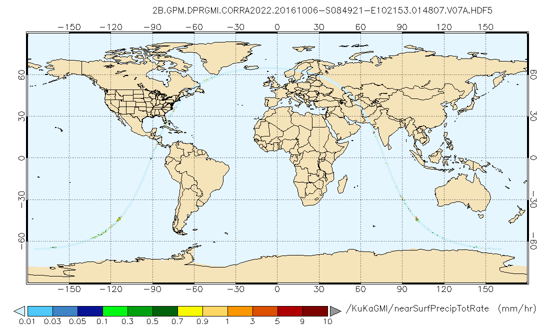
GPM DPR and GMI Combined Precipitation L2B 1.5 hours 5 km V07 (GPM_2BCMB) at GES DISC 13 recent views
National Aeronautics and Space Administration —
Version 07 is the current version of the data set. Older versions will no longer be available and have been superseded by Version 07. This is a precipitation product... -
Federal
Black Sea High Resolution SST L4 Analysis 0.0625 deg Resolution NGDA 12 recent views
National Aeronautics and Space Administration —
CNR MED Sea Surface Temperature provides daily gap-free maps (L4) at 0.0625 deg. x 0.0625 deg. horizontal resolution over the Black Sea. The data are obtained from... -
Federal
Global Multi-resolution Terrain Elevation Data 2010 (GMTED2010) 12 recent views
National Aeronautics and Space Administration —
The USGS and the NGA have collaborated on the development of a notably enhanced global elevation model named the GMTED2010 that replaces GTOPO30 as the elevation... -
Federal
My NASA Data 12 recent views
National Aeronautics and Space Administration —
MY NASA DATA (MND) is a tool that allows anyone to make use of satellite data that was previously unavailable.Through the use of MND’s Live Access Server (LAS) a... -
Federal
NACP Forest Age Maps at 1-km Resolution for Canada (2004) and the U.S.A. (2006) 11 recent views
National Aeronautics and Space Administration —
This data set provides forest age map products at 1-km resolution for Canada and the United States (U.S.A.). These continental forest age maps were compiled from... -
Federal
GLDAS Noah Land Surface Model L4 monthly 0.25 x 0.25 degree V2.1 (GLDAS_NOAH025_M) at GES DISC 11 recent views
National Aeronautics and Space Administration —
NASA Global Land Data Assimilation System Version 2 (GLDAS-2) has three components: GLDAS-2.0, GLDAS-2.1, and GLDAS-2.2. GLDAS-2.0 is forced entirely with the... -
Federal
Global Flood Hazard Frequency and Distribution 11 recent views
National Aeronautics and Space Administration —
The Global Flood Hazard Frequency and Distribution is a 2.5 minute grid derived from a global listing of extreme flood events between 1985 and 2003 (poor or missing... -
Federal
CALIPSO Lidar Level 2 Cloud Profile, V4-20 11 recent views
National Aeronautics and Space Administration —
CAL_LID_L2_05kmCPro-Standard-V4-20 is the Cloud-Aerosol Lidar and Infrared Pathfinder Satellite Observations (CALIPSO) Lidar Level 2 Cloud Profile, Version 4-20 data... -
Federal
Randomized and Recommissioned Battery Dataset 11 recent views
National Aeronautics and Space Administration —
An accelerated Life Testing Dataset for Lithium-Ion Batteries with Constant and Variable Loading Conditions We present an accelerated Li-ion battery life cycle... -
Federal
Poverty Mapping Project: Global Subnational Prevalence of Child Malnutrition 11 recent views
National Aeronautics and Space Administration —
The Poverty Mapping Project: Global Subnational Prevalence of Child Malnutrition data set consists of estimates of the percentage of children with weight-for-age...

Official websites use .gov
A
.gov website belongs to an official government
organization in the United States.
Secure .gov websites use HTTPS
A
lock (
) or https:// means you’ve safely connected to
the .gov website. Share sensitive information only on official,
secure websites.