

Suomi NPP CrIS Level 1B Normal Spectral Resolution V2 (SNPPCrISL1BNSR) at GES DISC
Access & Use Information
Public: This dataset is intended for public access and use.
License: No license information was provided. If this work was prepared by an officer or employee of the United States government as part of that person's official duties it is considered a U.S. Government Work.
Downloads & Resources
-
Data Information (PNG)PNG
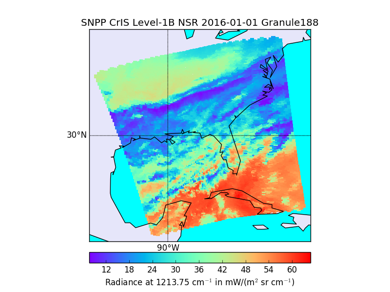
SNPPCrISL1BNSR_2.png
-
Data Information (HTML)HTML
SNPPCrISL1BNSR_2.html
-
Data Information (Unknown Format)BIN
-
Data Information (Unknown Format)BIN
-
Data Information (Unknown Format)BIN
-
Data Information (PDF)PDF
D0001-M01-S01-002_JPSS_ATBD_CrIS-SDR_C.pdf
-
Data Information (PDF)PDF
CrIS_L1B_SNPP.DeltaATBD_V2.0.pdf
-
Data Information (PDF)PDF
NASA_SNPP_CrIS_L1B_Product_Users_Guide_V2.0RevC.pdf
-
Data Information (PDF)PDF
NASA_SNPP_CrIS_L1B_Quality_Flags_V2.0.pdf
-
Landing PageLanding Page
Dates
| Metadata Created Date | April 11, 2025 |
|---|---|
| Metadata Updated Date | October 30, 2025 |
Metadata Source
- Data.json Data.json Metadata
Harvested from NASA Data.json
Additional Metadata
| Resource Type | Dataset |
|---|---|
| Metadata Created Date | April 11, 2025 |
| Metadata Updated Date | October 30, 2025 |
| Publisher | NASA/GSFC/SED/ESD/TISL/GESDISC |
| Maintainer | |
| Identifier | 10.5067/N9J1D8VZVJUX |
| Data Last Modified | 2025-09-11 |
| Category | Earth Science |
| Public Access Level | public |
| Bureau Code | 026:00 |
| Metadata Context | https://project-open-data.cio.gov/v1.1/schema/catalog.jsonld |
| Schema Version | https://project-open-data.cio.gov/v1.1/schema |
| Catalog Describedby | https://project-open-data.cio.gov/v1.1/schema/catalog.json |
| Harvest Object Id | 05fe1325-d340-40cf-8c4d-6b2c530aef6b |
| Harvest Source Id | 58f92550-7a01-4f00-b1b2-8dc953bd598f |
| Harvest Source Title | NASA Data.json |
| Homepage URL | https://docserver.gesdisc.eosdis.nasa.gov/public/project/Images/SNPPCrISL1BNSR_2.png |
| Old Spatial | "GEODETIC",{"WestBoundingCoordinate":-180,"NorthBoundingCoordinate":90,"EastBoundingCoordinate":180,"SouthBoundingCoordinate":-90} |
| Program Code | 026:000 |
| Source Datajson Identifier | True |
| Source Hash | fb222bcbbb21d3cc1d7cb966f2ad14967e3cb7b6cc2f1941e4d840042f918d71 |
| Source Schema Version | 1.1 |
| Spatial | |
| Temporal | 2012-01-20/2012-01-20 |
Didn't find what you're looking for? Suggest a dataset here.