

GPM GROUND VALIDATION NOAA S-BAND PROFILER ORIGINAL DWELL DATA MC3E V1
Access & Use Information
Public: This dataset is intended for public access and use.
License: No license information was provided. If this work was prepared by an officer or employee of the United States government as part of that person's official duties it is considered a U.S. Government Work.
Downloads & Resources
-
Google Scholar search resultsHTML
Search results for publications that cite this dataset by its DOI.
-
Download this datasetHTML
Files may be downloaded directly to your workstation from this link
-
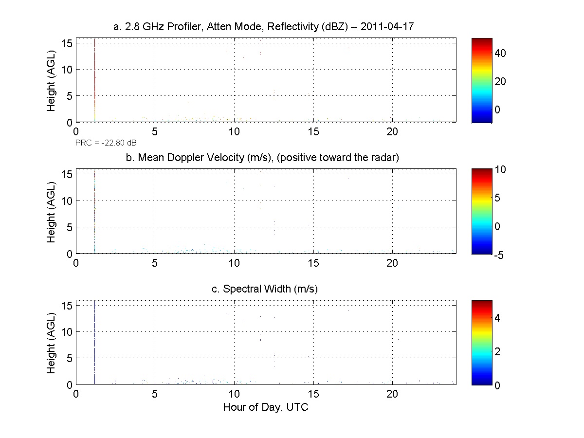
Get a related visualizationJPEG
Sample browse image
-
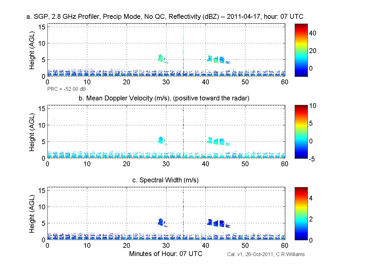
Get a related visualizationJPEG
Sample browse image
-
View information related to this datasetHTML
MC3E Field Campaign Collection DOI
-
View documentation related to this datasetHTML
The guide document contains detailed information about the dataset
-
The dataset's project home pageHTML
The home page for the project or program which sponsored the dataset
-
Get a related visualizationHTML
N/A
-
View documentation related to this datasetHTML
Instructions for citing GHRC data
-
Landing PageLanding Page
Dates
| Metadata Created Date | December 1, 2022 |
|---|---|
| Metadata Updated Date | April 11, 2025 |
Metadata Source
- Data.json Data.json Metadata
Harvested from NASA Data.json
Additional Metadata
| Resource Type | Dataset |
|---|---|
| Metadata Created Date | December 1, 2022 |
| Metadata Updated Date | April 11, 2025 |
| Publisher | NASA/MSFC/GHRC |
| Maintainer | |
| Identifier | C1979704337-GHRC_DAAC |
| Data First Published | 2013-01-29 |
| Language | en-US |
| Data Last Modified | 2025-04-01 |
| Category | MC3E, geospatial |
| Public Access Level | public |
| Bureau Code | 026:00 |
| Metadata Context | https://project-open-data.cio.gov/v1.1/schema/catalog.jsonld |
| Schema Version | https://project-open-data.cio.gov/v1.1/schema |
| Catalog Describedby | https://project-open-data.cio.gov/v1.1/schema/catalog.json |
| Harvest Object Id | 0a3b4ae8-c8c4-4215-a696-284a14add162 |
| Harvest Source Id | 58f92550-7a01-4f00-b1b2-8dc953bd598f |
| Harvest Source Title | NASA Data.json |
| Homepage URL | https://doi.org/10.5067/GPMGV/MC3E/SBAND/DATA202 |
| Metadata Type | geospatial |
| Old Spatial | -97.49 36.61 -97.49 36.61 |
| Program Code | 026:001 |
| Source Datajson Identifier | True |
| Source Hash | b3b08ea697a8c5483afc2391d35881ad288e65069d09caa99dd45777ab8698ba |
| Source Schema Version | 1.1 |
| Spatial | |
| Temporal | 2011-04-16T00:00:00Z/2011-06-07T14:00:00Z |
Didn't find what you're looking for? Suggest a dataset here.