

GPM Ground Validation Naval Research Laboratory (NRL) Near-Real Time Rain Rates IFloodS V1
Access & Use Information
Downloads & Resources
-
Google Scholar search resultsHTML
Search results for publications that cite this dataset by its DOI.
-
Download this datasetHTML
Files may be downloaded directly to your workstation from this link
-
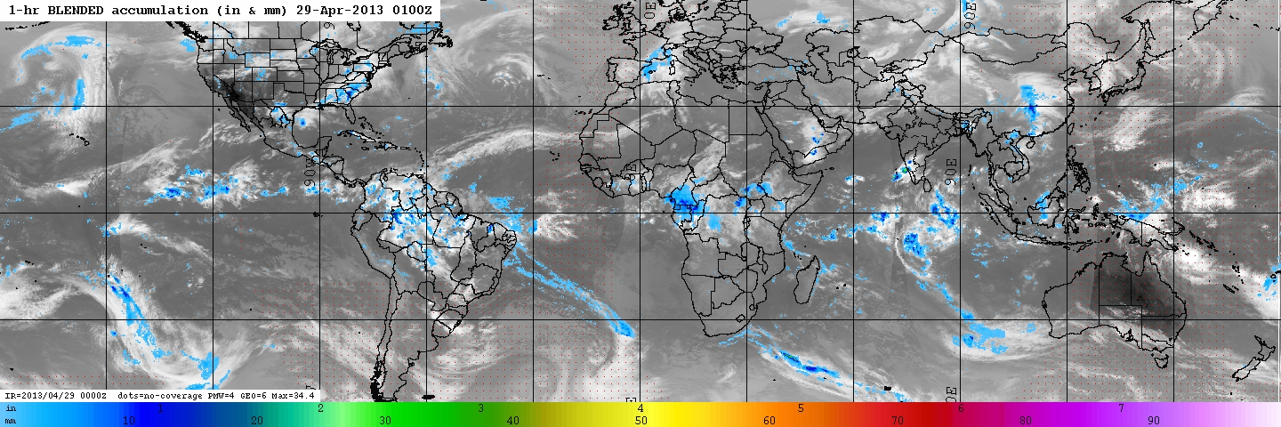
Get a related visualizationJPEG
Browse Sample
-
View documentation related to this datasetHTML
The NRL-Blend High Resolution Precipitation Product and its Application to...
-
View information related to this datasetHTML
IFloodS Field Campaign Collection DOI
-
View documentation related to this datasetPDF
The guide document contains detailed information about the dataset
-
View this dataset's publicationsHTML
Climatologically Tuned Reflectivity-Rain Rate Relations and Links to Area-...
-
View this dataset's publicationsHTML
Intercomparison of High-Resolution Precipitation Products over Northwest Europe
-
View this dataset's publicationsHTML
The Window Probability Matching Method for Rainfall Measurements with Radar
-
View this dataset's publicationsHTML
A Combined Satellite Infrared and Passive Microwave Technique for Estimation...
-
The dataset's project home pageHTML
IFloodS project home page
-
Get a related visualizationHTML
Browse images illustrate the nature and coverage of the data
-
View documentation related to this datasetHTML
Instructions for citing GHRC data
-
Landing PageLanding Page
Dates
| Metadata Created Date | December 1, 2022 |
|---|---|
| Metadata Updated Date | August 23, 2025 |
Metadata Source
- Data.json Data.json Metadata
Harvested from NASA Data.json
Additional Metadata
| Resource Type | Dataset |
|---|---|
| Metadata Created Date | December 1, 2022 |
| Metadata Updated Date | August 23, 2025 |
| Publisher | NASA/MSFC/GHRC |
| Maintainer | |
| Identifier | C1979639569-GHRC_DAAC |
| Data First Published | 2018-08-31 |
| Language | en-US |
| Data Last Modified | 2025-07-17 |
| Category | IFloodS, geospatial |
| Public Access Level | public |
| Bureau Code | 026:00 |
| Metadata Context | https://project-open-data.cio.gov/v1.1/schema/catalog.jsonld |
| Schema Version | https://project-open-data.cio.gov/v1.1/schema |
| Catalog Describedby | https://project-open-data.cio.gov/v1.1/schema/catalog.json |
| Harvest Object Id | 61040850-162f-4909-b1ed-7d3113c2d118 |
| Harvest Source Id | 58f92550-7a01-4f00-b1b2-8dc953bd598f |
| Harvest Source Title | NASA Data.json |
| Homepage URL | https://doi.org/10.5067/GPMGV/IFLOODS/INFRARED/DATA101 |
| Metadata Type | geospatial |
| Old Spatial | -179.875 -59.875 179.875 59.875 |
| Program Code | 026:001 |
| Source Datajson Identifier | True |
| Source Hash | 3e05a0f531213c507d6d2bb6104cf028040076584eefc3bf13ce71394172d1eb |
| Source Schema Version | 1.1 |
| Spatial | |
| Temporal | 2013-04-23T01:00:00Z/2013-06-30T23:59:59Z |
Didn't find what you're looking for? Suggest a dataset here.