

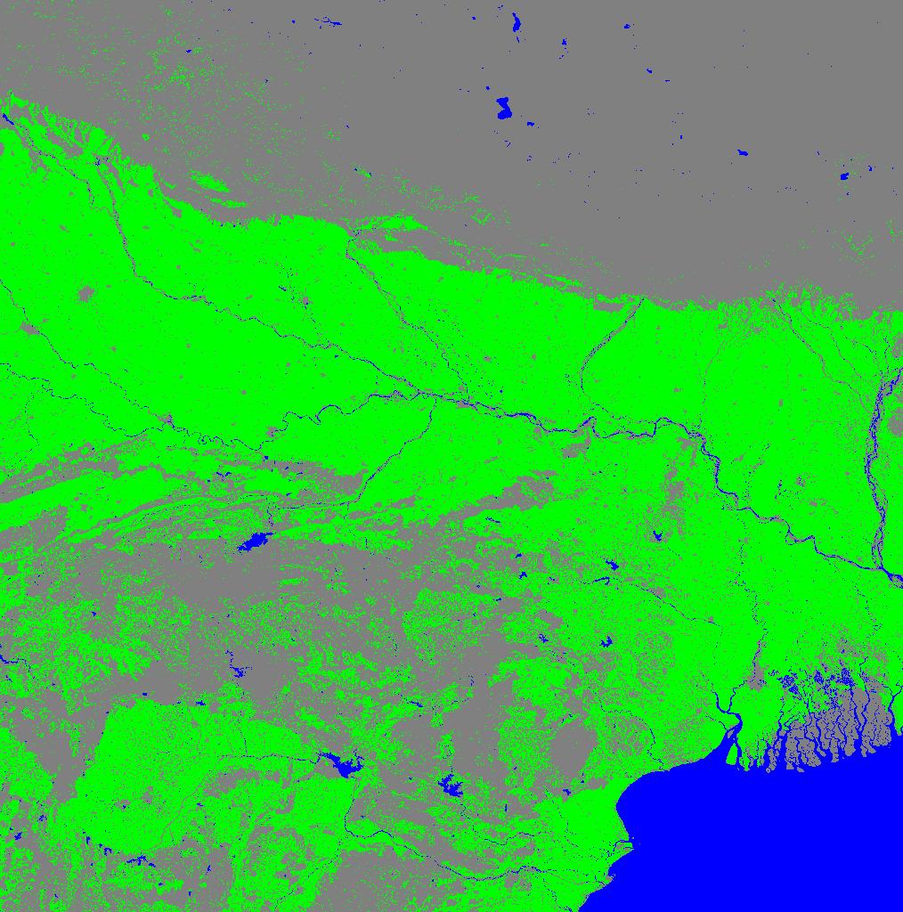
Global Food Security-support Analysis Data (GFSAD) Cropland Extent 2015 South Asia, Afghanistan, and Iran product 30 m V001
Access & Use Information
Public: This dataset is intended for public access and use.
License: No license information was provided. If this work was prepared by an officer or employee of the United States government as part of that person's official duties it is considered a U.S. Government Work.
Downloads & Resources
-
Data Information (Unknown Format)BIN
-
Data Information (Unknown Format)BIN
GFSAD30SAAFGIRCE.001
-
Data Information (HTML)HTML
GFSAD30SAAFGIRCE.001
-
Data Information (Unknown Format)BIN
-
Data Information (PDF)PDF
GFSAD30SAAFGIRCE_User_Guide_V1.pdf
-
Data Information (PDF)PDF
GFSAD30SAAFGIRCE_ATBD.pdf
-
Data Information (ZIP)ZIP
GFSAD30SAAFGIRCE_Source_Code_V1.zip
-
Data Information (HTML)HTML
contents.html
-
Data Information (JPEG)JPEG
GFSAD30SAAFGIRCE_2015_N20E80_001_2017286103800.1.jpg
-
Landing PageLanding Page
Dates
| Metadata Created Date | April 9, 2025 |
|---|---|
| Metadata Updated Date | September 19, 2025 |
Metadata Source
- Data.json Data.json Metadata
Harvested from NASA Data.json
Additional Metadata
| Resource Type | Dataset |
|---|---|
| Metadata Created Date | April 9, 2025 |
| Metadata Updated Date | September 19, 2025 |
| Publisher | LP DAAC;DOI/USGS/WGSC |
| Maintainer | |
| Identifier | 10.5067/MEaSUREs/GFSAD/GFSAD30SAAFGIRCE.001 |
| Data Last Modified | 2025-09-11 |
| Category | Earth Science |
| Public Access Level | public |
| Bureau Code | 026:00 |
| Metadata Context | https://project-open-data.cio.gov/v1.1/schema/catalog.jsonld |
| Schema Version | https://project-open-data.cio.gov/v1.1/schema |
| Catalog Describedby | https://project-open-data.cio.gov/v1.1/schema/catalog.json |
| Harvest Object Id | fec2c8e8-8b32-48bf-9b7f-daf77b4c08c8 |
| Harvest Source Id | 58f92550-7a01-4f00-b1b2-8dc953bd598f |
| Harvest Source Title | NASA Data.json |
| Homepage URL | https://search.earthdata.nasa.gov/search?q=C2763261689-LPCLOUD |
| Old Spatial | "CARTESIAN",{"NorthBoundingCoordinate":40.10861,"WestBoundingCoordinate":39.998656,"EastBoundingCoordinate":100.001086,"SouthBoundingCoordinate":-10.038404} |
| Program Code | 026:000 |
| Source Datajson Identifier | True |
| Source Hash | efd944930fde7a86b375296d0eea467a9d5067d6088807eb3a27fc3dc68b27be |
| Source Schema Version | 1.1 |
| Spatial | |
| Temporal | 2013-01-01/2013-01-01 |
Didn't find what you're looking for? Suggest a dataset here.