

CMS: LiDAR Data for Forested Areas in Paragominas, Para, Brazil, 2012-2014
Access & Use Information
Downloads & Resources
-
Data Information (Unknown Format)BIN
-
Data Information (HTML)HTML
-
Data Information (ZIP)ZIP
CMS_Landscapes_Brazil_LiDAR_1302.zip
-
Data Information (PNG)PNG
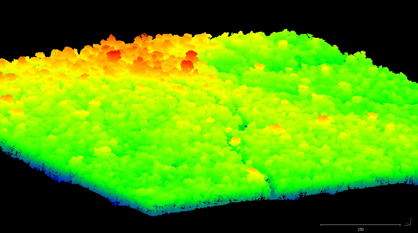
1302_1_fit.png
-
Data Information (Unknown Format)BIN
CAU_A01_2014_LiDAR_coverage_area.kmz
-
Data Information (Unknown Format)BIN
AND_A01_2013_LiDAR_coverage_area.kmz
-
Data Information (JPEG)JPEG
CMS_Cauaxi_LiDAR_2012_oblique_browse.JPG
-
Data Information (CSV)CSV
CMS_Landscapes_Brazil_LIDAR_DTM_Metadata.csv
-
Data Information (PDF)PDF
CMS_Landscapes_Brazil_LiDAR.pdf
-
Data Information (Unknown Format)BIN
PAR_A01_2013_LiDAR_coverage_area.kmz
-
Data Information (Unknown Format)BIN
PRG_A01_2013-2014_LiDAR_coverage_area.kmz
-
Data Information (Unknown Format)BIN
CAU_A01_2012_LiDAR_coverage_area.kmz
-
Data Information (CSV)CSV
CMS_Landscapes_Brazil_LIDAR_laz_Metadata.csv
-
Landing PageLanding Page
Dates
| Metadata Created Date | April 11, 2025 |
|---|---|
| Metadata Updated Date | September 19, 2025 |
Metadata Source
- Data.json Data.json Metadata
Harvested from NASA Data.json
Additional Metadata
| Resource Type | Dataset |
|---|---|
| Metadata Created Date | April 11, 2025 |
| Metadata Updated Date | September 19, 2025 |
| Publisher | ORNL_DAAC |
| Maintainer | |
| Identifier | 10.3334/ORNLDAAC/1302 |
| Data Last Modified | 2025-09-11 |
| Category | Earth Science |
| Public Access Level | public |
| Bureau Code | 026:00 |
| Metadata Context | https://project-open-data.cio.gov/v1.1/schema/catalog.jsonld |
| Schema Version | https://project-open-data.cio.gov/v1.1/schema |
| Catalog Describedby | https://project-open-data.cio.gov/v1.1/schema/catalog.json |
| Harvest Object Id | 6be0280e-4066-4478-a9de-f6591a98ef0d |
| Harvest Source Id | 58f92550-7a01-4f00-b1b2-8dc953bd598f |
| Harvest Source Title | NASA Data.json |
| Homepage URL | https://search.earthdata.nasa.gov/search?q=CMS_Landscapes_Brazil_LiDAR_1302&ac=true |
| Old Spatial | {"WestBoundingCoordinate":-48.4958,"NorthBoundingCoordinate":-2.55319,"EastBoundingCoordinate":-46.7931,"SouthBoundingCoordinate":-3.76718},"CARTESIAN" |
| Program Code | 026:000 |
| Source Datajson Identifier | True |
| Source Hash | 695e21499d5e36059bc163ac9fec6134fdf2f964bcab104fd6018e9ce58a049f |
| Source Schema Version | 1.1 |
| Spatial | |
| Temporal | 2012-07-27/2012-07-27 |
Didn't find what you're looking for? Suggest a dataset here.