
-
Federal
Demographics for US Census Tracts - 2012 (American Community Survey 2008-2012 Derived Summary Tables)
U.S. Environmental Protection Agency —
This map service displays data derived from the 2008-2012 American Community Survey (ACS). Values derived from the ACS and used for this map service include: Total... -
Federal
Groundwater-level measurement data used to develop the groundwater-level altitude maps in the upper Rio Grande alluvial basins
Department of the Interior —
This part of the data release contains the water-level measurement data compiled and synthesized from various sources. This compilation includes two tables that... -
Federal
North American Land Change Monitoring System (NALCMS) Collection NGDA
Department of the Interior —
The 2020 North American Land Cover 30-meter dataset was produced as part of the North American Land Change Monitoring System (NALCMS), a trilateral effort between... -
Federal
SST, Aqua MODIS, NPP, Gulf of Mexico, Nighttime (4 microns), 2002-2012 (3 Day Composite)
National Oceanic and Atmospheric Administration, Department of Commerce —
NOAA CoastWatch provides SST data from NASA's Aqua Spacecraft. Measurements are gathered by the Moderate Resolution Imaging Spectroradiometer (MODIS) carried aboard... -
Federal
SST, Aqua MODIS, NPP, Gulf of Mexico, Nighttime (11 microns), 2002-2012 (1 Day Composite)
National Oceanic and Atmospheric Administration, Department of Commerce —
NOAA CoastWatch provides SST data from NASA's Aqua Spacecraft. Measurements are gathered by the Moderate Resolution Imaging Spectroradiometer (MODIS) carried aboard... -
Federal
Chromophoric Dissolved Organic Material, Aqua MODIS, NPP, Gulf of Mexico, 2002-2012 (3 Day Composite)
National Oceanic and Atmospheric Administration, Department of Commerce —
MODIS data is used to develop an index of the amount of chromophoric dissolved organic material (CDOM) in the surface waters. CDOM absorbs heavily in the blue... -
Federal
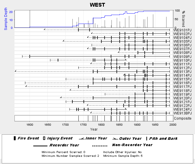
NOAA/WDS Paleoclimatology - Skinner fire data from WEST (San Pedro Martir) - IMPD MXWES001
National Oceanic and Atmospheric Administration, Department of Commerce —
This archived Paleoclimatology Study is available from the NOAA National Centers for Environmental Information (NCEI), under the World Data Service (WDS) for... -
Federal
Surface Geology of the Caribbean Region (geo6bg)
Department of the Interior —
This dataset includes polygons that describe the geologic age of surface outcrops of bedrock of the Caribbean region (Anguilla, Antigua and Barbuda, Aruba, Bahamas,... -
Federal
Enhanced Vegetation Index (EVI) parameter data products from Landsat 5, Landsat 8 MODIS and the Visible Infrared Imaging Radiometer Suite (VIIRS), Colorado River Delta, Mexico
Department of the Interior —
These data are a compilation of four mask layers (regions), and enhanced vegetation indices calculated from airborne or satellite imagery. The mask layers were used... -
Federal
The Olympia & Pacific Oyster Data Portal
National Oceanic and Atmospheric Administration, Department of Commerce —
Locations (i.e., "records") of Ostrea lurida (Olympia oysters) and Magallana gigas (Pacific oysters) observed 1602 to 2020 along the west coast of North America.... -
Federal
U.S. Geological Survey East Coast Sediment Texture Database (2014, ECSTDB2014.SHP)
Department of the Interior —
This sediment database contains location, description, and texture of samples taken by numerous marine sampling programs. Most of the samples are from the Atlantic... -
Federal
Data release for Quantifying ecosystem service flows at multiple scales across the range of a long-distance migratory species
Department of the Interior —
Migratory species provide ecosystem goods and services throughout their annual cycles, often over long distances. Designing effective conservation solutions for... -
Federal
H01598: NOS Hydrographic Survey
National Oceanic and Atmospheric Administration, Department of Commerce —
The National Oceanic and Atmospheric Administration (NOAA) has the statutory mandate to collect hydrographic data in support of nautical chart compilation for safe... -
Federal
SST, Aqua MODIS, NPP, Gulf of Mexico, Nighttime (11 microns), 2002-2012 (1 Day Composite), Lon0360
National Oceanic and Atmospheric Administration, Department of Commerce —
NOAA CoastWatch provides SST data from NASA's Aqua Spacecraft. Measurements are gathered by the Moderate Resolution Imaging Spectroradiometer (MODIS) carried aboard... -
Federal
Remote Sensing Reflectance at 667 nm, Aqua MODIS, NPP, Gulf of Mexico, 2002-2012 (1 Day Composite), Lon0360
National Oceanic and Atmospheric Administration, Department of Commerce —
MODIS measures the remote sensing reflectance (Rrs) at 667nm. This can be used to view very high concentrations of phytoplankton in the very surface of the water. -
Federal
Chromophoric Dissolved Organic Material, Aqua MODIS, NPP, Gulf of Mexico, 2002-2012 (Monthly Composite), Lon0360
National Oceanic and Atmospheric Administration, Department of Commerce —
MODIS data is used to develop an index of the amount of chromophoric dissolved organic material (CDOM) in the surface waters. CDOM absorbs heavily in the blue... -
Federal
Diffuse Attenuation K490, Aqua MODIS, NPP, Gulf of Mexico, 2002-2012 (Monthly Composite)
National Oceanic and Atmospheric Administration, Department of Commerce —
NASA distributes Diffuse Attenuation Coefficient at 490 nm Wavelength data from NASA's Aqua satellite. Measurements are gathered by the Moderate Resolution Imaging... -
Federal
SST, Aqua MODIS, NPP, Gulf of Mexico, Daytime and Nighttime (11 microns), 2002-2012 (Monthly Composite)
National Oceanic and Atmospheric Administration, Department of Commerce —
NOAA CoastWatch provides SST data from NASA's Aqua Spacecraft. Measurements are gathered by the Moderate Resolution Imaging Spectroradiometer (MODIS) carried aboard... -
Federal
SST, Terra MODIS, NPP, Gulf of Mexico, Nighttime (11 microns), 2000-2012 (8 Day Composite)
National Oceanic and Atmospheric Administration, Department of Commerce —
NOAA CoastWatch provides SST data from NASA's Terra Spacecraft. Measurements are gathered by the Moderate Resolution Imaging Spectroradiometer (MODIS) carried aboard... -
Federal
Chlorophyll-a, Aqua MODIS, NPP, Gulf of Mexico, 2002-2012 (1 Day Composite)
National Oceanic and Atmospheric Administration, Department of Commerce —
NOAA CoastWatch distributes chlorophyll-a concentration data from NASA's Aqua Spacecraft. Measurements are gathered by the Moderate Resolution Imaging...

Official websites use .gov
A
.gov website belongs to an official government
organization in the United States.
Secure .gov websites use HTTPS
A
lock (
) or https:// means you’ve safely connected to
the .gov website. Share sensitive information only on official,
secure websites.