
-
Federal
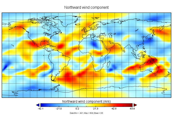
MERRA-2 tavg1_2d_slv_Nx: 2d,1-Hourly,Time-Averaged,Single-Level,Assimilation,Single-Level Diagnostics 0.625 x 0.5 degree V5.12.4 (M2T1NXSLV) at GES DISC recent views
National Aeronautics and Space Administration —
M2T1NXSLV (or tavg1_2d_slv_Nx) is an hourly time-averaged 2-dimensional data collection in Modern-Era Retrospective analysis for Research and Applications version 2... -
Federal
GLDAS Noah Land Surface Model L4 monthly 0.25 x 0.25 degree V2.1 (GLDAS_NOAH025_M) at GES DISC recent views
National Aeronautics and Space Administration —
NASA Global Land Data Assimilation System Version 2 (GLDAS-2) has three components: GLDAS-2.0, GLDAS-2.1, and GLDAS-2.2. GLDAS-2.0 is forced entirely with the... -
Federal
GLDAS Noah Land Surface Model L4 3 hourly 0.25 x 0.25 degree V2.0 (GLDAS_NOAH025_3H) at GES DISC recent views
National Aeronautics and Space Administration —
NASA Global Land Data Assimilation System Version 2 (GLDAS-2) has three components: GLDAS-2.0, GLDAS-2.1, and GLDAS-2.2. GLDAS-2.0 is forced entirely with the... -
Federal
NLDAS Secondary Forcing Data L4 Hourly 0.125 x 0.125 degree V2.0 (NLDAS_FORB0125_H) at GES DISC recent views
National Aeronautics and Space Administration —
This data set contains the secondary forcing hourly data "File B" for Phase 2 of the North American Land Data Assimilation System (NLDAS-2). The data are in 1/8th... -
Federal
GLDAS Catchment Land Surface Model L4 daily 0.25 x 0.25 degree GRACE-DA1 V2.2 (GLDAS_CLSM025_DA1_D) at GES DISC recent views
National Aeronautics and Space Administration —
NASA Global Land Data Assimilation System Version 2 (GLDAS-2) has three components: GLDAS-2.0, GLDAS-2.1, and GLDAS-2.2. GLDAS-2.0 is forced entirely with the... -
Federal
MERRA-2 inst6_3d_ana_Nv: 3d,6-Hourly,Instantaneous,Model-Level,Analysis,Analyzed Meteorological Fields 0.625 x 0.5 degree V5.12.4 (M2I6NVANA) at GES DISC recent views
National Aeronautics and Space Administration —
M2I6NVANA (or inst6_3d_ana_Nv) is an instantaneous 3-dimensional 6-hourly data collection in Modern-Era Retrospective analysis for Research and Applications version 2... -
Federal
FLDAS Noah Land Surface Model L4 Global Monthly 0.1 x 0.1 degree (MERRA-2 and CHIRPS) V001 (FLDAS_NOAH01_C_GL_M) at GES DISC recent views
National Aeronautics and Space Administration —
This dataset contains a series of land surface parameters simulated from the Noah 3.6.1 model in the Famine Early Warning Systems Network (FEWS NET) Land Data... -
Federal
First ISCCP Regional Experiment (FIRE) Atlantic Stratocumulus Transition Experiment (ASTEX) United Kingdom Meteorological Office (UKMO) C-130 Aircraft Data recent views
National Aeronautics and Space Administration —
The First ISCCP Regional Experiments have been designed to improve data products and cloud/radiation parameterizations used in general circulation models (GCMs).... -
Federal
First ISCCP Regional Experiment (FIRE) Cirrus 1 Colorado State University Sabreliner Aircraft Radiometric and Meteorological Data recent views
National Aeronautics and Space Administration —
This data set contains meteorological and radiometeric data from the NCAR Sabreliner aircraft that was collected during the 1986 FIRE Cirrus IFO. The NCAR Sabreliner... -
Federal
NLDAS Secondary Forcing Data L4 Monthly Climatology 0.125 x 0.125 degree V2.0 (NLDAS_FORB0125_MC) at GES DISC recent views
National Aeronautics and Space Administration —
This data set contains the monthly climatology (MC) data of the secondary forcing data for Phase 2 of the North American Land Data Assimilation System (NLDAS-2). The... -
Federal
TOLNet City College of New York Data recent views
National Aeronautics and Space Administration —
TOLNet_CCNY_Data is the lidar data collected by the New York Tropospheric Ozone Lidar System (NYTOLS) at the City College of New York (CCNY) as part of the... -
Federal
GLDAS Noah Land Surface Model L4 3 hourly 0.25 x 0.25 degree V2.1 (GLDAS_NOAH025_3H) at GES DISC recent views
National Aeronautics and Space Administration —
NASA Global Land Data Assimilation System Version 2 (GLDAS-2) has three components: GLDAS-2.0, GLDAS-2.1, and GLDAS-2.2. GLDAS-2.0 is forced entirely with the... -
Federal
MERRA-2 inst3_3d_asm_Np: 3d,3-Hourly,Instantaneous,Pressure-Level,Assimilation,Assimilated Meteorological Fields 0.625 x 0.5 degree V5.12.4 (M2I3NPASM) at GES DISC recent views
National Aeronautics and Space Administration —
M2I3NPASM (or inst3_3d_asm_Np) is an instantaneous 3-dimensional 3-hourly data collection in Modern-Era Retrospective analysis for Research and Applications version 2... -
Federal
First ISCCP Regional Experiment (FIRE) Atlantic Stratocumulus Transition Experiment (ASTEX) Oceanus Radiosonde Data recent views
National Aeronautics and Space Administration —
The First ISCCP Regional Experiments have been designed to improvedata products and cloud/radiation parameterizations used in general circulation models (GCMs).... -
Federal
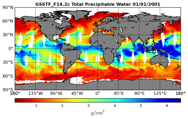
Goddard Satellite-Based Surface Turbulent Fluxes, 0.25 x 0.25 deg, Daily Grid F14 V3 (GSSTF_F14) at GES DISC recent views
National Aeronautics and Space Administration —
These data are part of the Goddard Satellite-based Surface Turbulent Fluxes Version 3 (GSSTF3) Dataset recently produced through a MEaSURES funded project led by Dr.... -
Federal
CERES Time-Interpolated TOA Fluxes, Clouds and Aerosols Daily NOAA-20 Edition1B recent views
National Aeronautics and Space Administration —
The Clouds and the Earth's Radiant Energy System (CERES) Single Scanner Footprint One Degree (SSF1deg) Day provides daily averages of regional constant meteorology... -
Federal
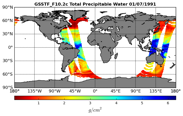
Goddard Satellite-Based Surface Turbulent Fluxes, 0.25 x 0.25 deg, Daily Grid F10 V3 (GSSTF_F10) at GES DISC recent views
National Aeronautics and Space Administration —
These data are part of the Goddard Satellite-based Surface Turbulent Fluxes Version 3 (GSSTF3) Dataset recently produced through a MEaSURES funded project led by Dr.... -
Federal
DISCOVER-AQ Colorado Deployment Table Mountain Ground Site Data recent views
National Aeronautics and Space Administration —
DISCOVERAQ_Colorado_Ground_TableMountain_Data contains data collected at the Table Mountain ground site during the Colorado (Denver) deployment of NASA's DISCOVER-AQ... -
Federal
CERES SSF 1 degree Regionally Averaged TOA Fluxes, Clouds and Aerosols Hourly NPP VIIRS Edition2A recent views
National Aeronautics and Space Administration —
CER_SSF1deg-Hour_NPP-VIIRS_Edition2A is the Clouds and the Earth's Radiant Energy System (CERES) Single Scanner Footprint One Degree (SSF1deg) Regionally Averaged Top... -
Federal
First ISCCP Regional Experiment (FIRE) Cirrus Phase II NCAR Sabreliner Aircraft Microphysical Data recent views
National Aeronautics and Space Administration —
The First ISCCP Regional Experiments have been designed to improve data products and cloud/radiation parameterizations used in general circulation models (GCMs)....

Official websites use .gov
A
.gov website belongs to an official government
organization in the United States.
Secure .gov websites use HTTPS
A
lock (
) or https:// means you’ve safely connected to
the .gov website. Share sensitive information only on official,
secure websites.