
-
Federal
Global Hydrologic Soil Groups (HYSOGs250m) for Curve Number-Based Runoff Modeling
National Aeronautics and Space Administration —
This dataset - HYSOGs250m - represents a globally consistent, gridded dataset of hydrologic soil groups (HSGs) with a geographical resolution of 1/480 decimal... -
Federal
Global Gridded Soil Phosphorus Distribution Maps at 0.5-degree Resolution
National Aeronautics and Space Administration —
This data set provides estimates of different forms of naturally occurring soil phosphorus (P) including labile inorganic P, organic P, occluded P, secondary mineral... -
Federal
Soil Moisture Profiles and Temperature Data from SoilSCAPE Sites, USA
National Aeronautics and Space Administration —
This data set contains in-situ soil moisture profile and soil temperature data collected at 20-minute intervals at SoilSCAPE (Soil moisture Sensing Controller and... -
Federal
SAFARI 2000 Leaf-Level VOC Emissions, Maun, Botswana, Wet Season 2001
National Aeronautics and Space Administration —
Biogenic volatile organic compounds (VOCs) comprise a significant proportion of trace gases in the atmospheric environment and play an important role in the formation... -
Federal
An Unexpectedly Large Count of Trees in the West African Sahara and Sahel
National Aeronautics and Space Administration —
This dataset provides georeferenced polygon vectors of individual tree canopy geometries for dryland areas in West African Sahara and Sahel that were derived using... -
Federal
CMS: Forest Carbon Stocks, Emissions, and Net Flux for the Conterminous US: 2005-2010
National Aeronautics and Space Administration —
This data set provides maps of estimated carbon in forests of the 48 continental states of the US for the years 2005-2010. Carbon (termed committed carbon) stocks... -
Federal
NACP North American 8-km Net Ecosystem Exchange and Component Fluxes, 2004
National Aeronautics and Space Administration —
This data set provides modeled carbon flux estimates at 8-km spatial resolution over North America for the year 2004 of (1) net ecosystem exchange (NEE) of carbon... -
Federal
SE-590 Landscape Reflectances (OTTER)
National Aeronautics and Space Administration —
Bidirectional spectral reflectance factors of landscape elements (litter, scrubs and grasses, leaves) measured by the Spectron SE590 spectroradiometer. -
Federal
LBA-ECO ND-02 Soil Gas Flux, Rainfall Exclusion, km 67, Tapajos National Forest
National Aeronautics and Space Administration —
Moist tropical forests in Amazonia and elsewhere are subjected to increasingly severe drought episodes through the El Nino-Southern Oscillation (ENSO) and possibly... -
Federal
LBA-ECO LC-23 Vegetation Fire Data, Roraima , Brazil: 2003
National Aeronautics and Space Administration —
The ASTER high resolution satellite data are available for visible-near infrared (15m resolution), short wave infrared (30m), and thermal infrared (90m) bands. Two... -
Federal
ISLSCP II Northern Hemisphere Monthly Snow Cover Extent
National Aeronautics and Space Administration —
This ISLSCP data set is derived from the National Snow and Ice Data Center (NSIDC) Northern Hemisphere EASE-Grid Weekly Snow Cover and Sea Ice Extent product which... -
Federal
LBA-ECO CD-06 Amazon River Basin Land and Stream Drainage Direction Maps
National Aeronautics and Space Administration —
This data set provides high-resolution (~500 m) gridded land and stream drainage direction maps for the Amazon River basin, excluding the Rio Tocantins basin. These... -
Federal
NPP Multi-Biome: Summary Data from Intensive Studies at 125 Sites, 1936-2006
National Aeronautics and Space Administration —
This data set, NPP Multi-Biome: Summary Data from Intensive Studies at 125 Sites, 1936-2006, contains a single shapefile that provides site-level summary statistics... -
Federal
Reflectance Reference Targets (OTTER)
National Aeronautics and Space Administration —
Spectral reflectance measurements of flat field targets as reference points representative of psuedo-invariant targets as measured by the Spectron SE590... -
Federal
Radiosonde Data: NOAA (FIFE)
National Aeronautics and Space Administration —
The NOAA Radiosonde Observations Data Set contains data that were extracted from the NOAA operational analysis system and transmitted to the FIS. Data are available... -
Federal
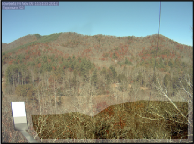
PhenoCam Dataset v2.0: Vegetation Phenology from Digital Camera Imagery, 2000-2018
National Aeronautics and Space Administration —
This data set provides a time series of vegetation phenological observations for 393 sites across diverse ecosystems of the world (mostly North America) from... -
Federal
Aircraft Flux-Filtered: U of Wy. (FIFE)
National Aeronautics and Space Administration —
The University of Wyoming (UW) King Air atmospheric boundary layer measurement missions were flown in 1987 during IFCs 3 and 4. This Boundary Layer Fluxes data set... -
Federal
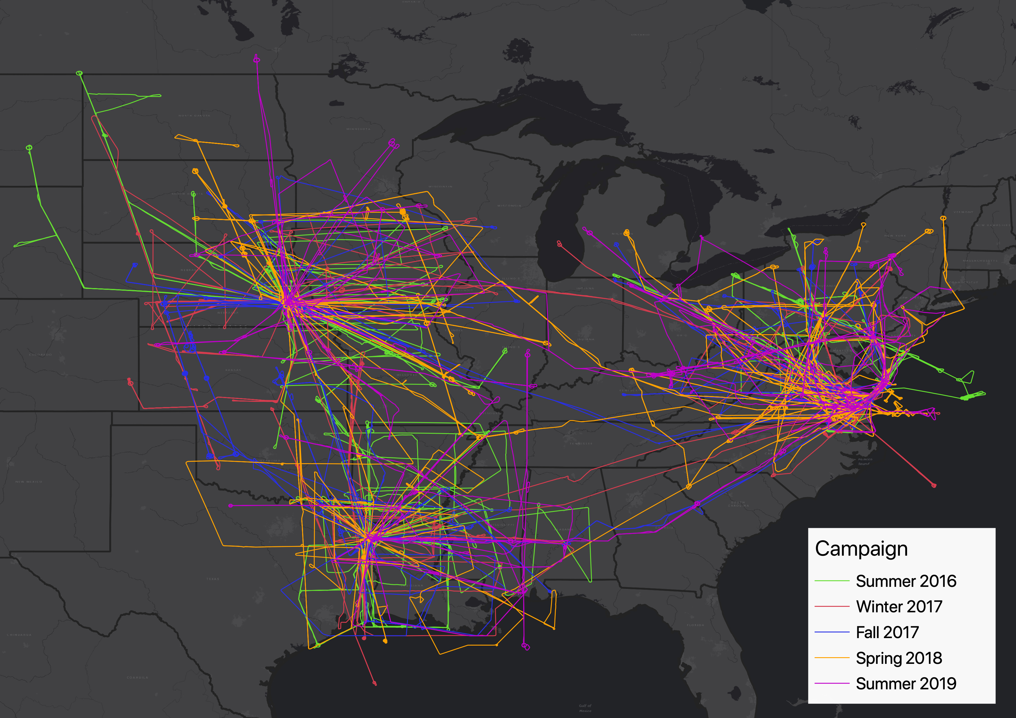
CARVE: L1 Airborne Forward Looking Infrared Radiance Counts, Alaska, 2013-2015
National Aeronautics and Space Administration —
This data set provides earth referenced radiance counts measured by the Forward Looking Infrared (FLIR) camera aboard the CARVE aircraft between April 2013 and...

Official websites use .gov
A
.gov website belongs to an official government
organization in the United States.
Secure .gov websites use HTTPS
A
lock (
) or https:// means you’ve safely connected to
the .gov website. Share sensitive information only on official,
secure websites.