

1,234 datasets found for "pg怎么下载✅澳门葡京赌场官方网站-网址【079.one】㊙️最火爆PG电子超高爆奖率,注册即送38元.vvdVGNzMxUbv"
-
Federal
TROPESS Chemical Reanalysis NO2 Spread 6-Hourly 3-dimensional Product V1 (TRPSCRNO2S6H3D) at GES DISC
National Aeronautics and Space Administration —
The TROPESS Chemical Reanalysis NO2 Spread 6-Hourly 3-dimensional Product contains the nitrogen dioxide ensemble spread, a measure of data assimilation analysis... -
Federal
TROPESS CrIS-JPSS1 L2 Carbon Monoxide for Forward Stream, Summary Product V1 (TRPSYL2COCRS1FS) at GES DISC
National Aeronautics and Space Administration —
The TROPESS CrIS-JPSS1 L2 Carbon Monoxide for Forward Stream, Summary Product contains the vertical distribution of the retrieved atmospheric state of carbon monoxide... -
Federal
TROPESS CrIS-SNPP L2 Peroxyacetyl Nitrate for Australian Fires, Standard Product V1 (TRPSDL2PANCRSAUS) at GES DISC
National Aeronautics and Space Administration —
The TROPESS CrIS-SNPP L2 Peroxyacetyl Nitrate for Australian Fires, Standard Product contains the vertical distribution of the retrieved atmospheric state of... -
Federal
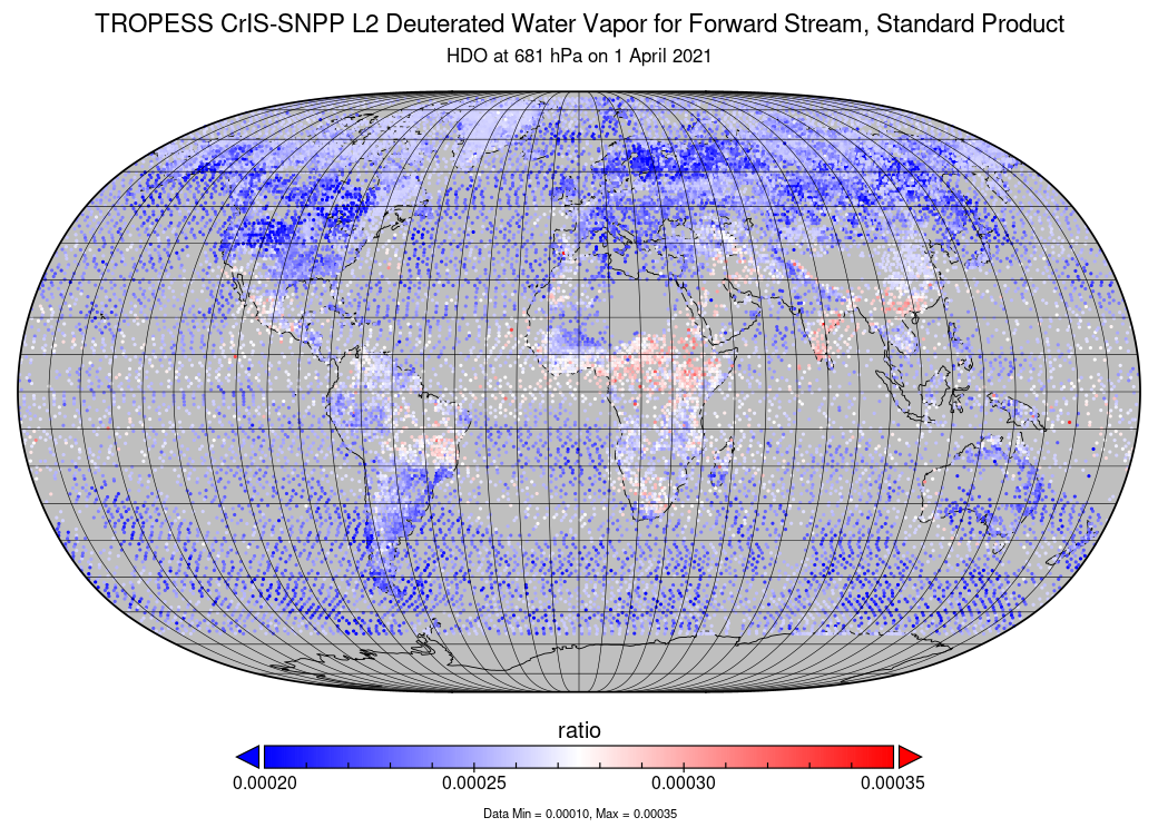
TROPESS CrIS-SNPP L2 Deuterated Water Vapor for Forward Stream, Standard Product V1 (TRPSDL2HDOCRSFS) at GES DISC
National Aeronautics and Space Administration —
The TROPESS CrIS-SNPP L2 Deuterated Water Vapor for Forward Stream, Standard Product contains the vertical distribution of the retrieved atmospheric state of semi-... -
Federal
LBA-ECO CD-06 CO2 Exchange in River Systems Across the Amazon Basin: 2004-2007
National Aeronautics and Space Administration —
This data set provides measurements of carbon dioxide flux rates (FCO2), gas transfer velocity (k), and partial pressures (pCO2) at 75 sites on rivers and streams of... -
Federal
LBA-ECO CD-08 Radiocarbon Dates for Large Trees from a Forest near Manaus, Brazil
National Aeronautics and Space Administration —
This data set reports the ages and growth rates of trees as determined by radiocarbon dating (14C), selected from a logging operation near the city of Itacoatiara,... -
Federal
ABoVE: Burn Severity of Soil Organic Matter, Northwest Territories, Canada, 2014-2015
National Aeronautics and Space Administration —
This dataset provides maps at 30-m resolution of landscape surface burn severity (surface litter and soil organic layers) from the 2014-2015 fires in the Northwest... -
Federal
Site Averaged Neutron Soil Moisture: 1987 (Betts)
National Aeronautics and Space Administration —
The Site Averaged Neutron Soil Moisture Data: 1987 (Betts) Data Set contains the site averaged product data of the neutron probe soil moisture collected during the... -
Federal
RSS CCMP Monthly 10 Meter Surface Winds Level 4 Version 3.1
National Aeronautics and Space Administration —
This data set contains a monthly-mean, 0.25 degree resolution, near-global gridded analysis of ocean surface winds (wind speed, components, and anomalies) from the... -
Federal
AirMOSS: L1 S-0 Polarimetric Data from AirMOSS P-band SAR, MOISST, 2012-2015
National Aeronautics and Space Administration —
This data set provides level 1 (L1) polarimetric radar backscattering coefficient (sigma-0), multilook complex, polarimetrically calibrated, and georeferenced data... -
Federal
CERES and GEO-Enhanced TOA, Within-Atmosphere and Surface Fluxes, Clouds and Aerosols Daily Terra-NOAA20 Edition4A
National Aeronautics and Space Administration —
CER_SYN1deg-Day_Terra-NOAA20_Edition4A is the Clouds and the Earth's Radiant Energy System (CERES) and geostationary (GEO)-Enhanced Top-of-Atmosphere (TOA), Within-... -
Federal
BOREAS TE-18 Landsat TM Physical Classification Image of the NSA
National Aeronautics and Space Administration —
The objective of this classification is to provide the BOREAS investigators with a data product that characterizes the land cover of the NSA. A Landsat-5 TM image... -
Federal
Pre-LBA Rondonia Boundary Layer Experiment (RBLE) Data
National Aeronautics and Space Administration —
The atmospheric boundary layer (ABL) is the layer of air closest to the ground which is directly influenced on a daily basis by the heating and cooling of the earth's... -
Federal
TOVS GLA MONTHLY GRIDS from TIROS-N 02 (TOVSAMTN) at GES DISC
National Aeronautics and Space Administration —
This dataset (TOVSAMTN) contains the TIROS Operational Vertical Sounder (TOVS) level 3 geophysical parameters derived using data from TIROS-N and the physical...
1,234 datasets found for "pg怎么下载✅澳门葡京赌场官方网站-网址【079.one】㊙️最火爆PG电子超高爆奖率,注册即送38元.vvdVGNzMxUbv"