
-
Federal
Oceanographic and surface meteorological data collected from station Sodus Bay Center (ESF5) by State University of New York College of Environmental Science and Forestry and assembled by Great Lakes Observing System (GLOS) in the Great Lakes region from 2014-07-01 to 2017-10-20 (NCEI Accession 0123657) recent views
National Oceanic and Atmospheric Administration, Department of Commerce —
This dataset contains oceanographic and surface meteorological data in netCDF formatted files, which follow the Climate and Forecast metadata convention (CF) and the... -
Federal
SST, NOAA POES AVHRR, LAC, 0.0125 degrees, West US, Day and Night, 2004-present (3 Day Composite) recent views
National Oceanic and Atmospheric Administration, Department of Commerce —
NOAA CoastWatch provides sea surface temperature (SST) products derived from NOAA's Polar Operational Environmental Satellites (POES). This data is provided at high... -
Federal
Backscatter A [8101]--Offshore San Gregorio, California recent views
Department of the Interior —
This part of SIM 3306 presents data for the acoustic-backscatter map of the Offshore of San Gregorio map area, California. Backscatter data are provided as two... -
Federal
Regional Hydrodynamic Model Outputs of the NOAA Gulf of Maine Operational Forecast System (GoMOFS) recent views
National Oceanic and Atmospheric Administration, Department of Commerce —
NOAA's National Ocean Service (NOS) has developed a Gulf of Maine Operational Forecast System (GoMOFS). Based on Rutgers University's Regional Ocean Modeling System... -
Federal
Bathymetry of Lake Huron recent views
National Oceanic and Atmospheric Administration, Department of Commerce —
Bathymetry of Lake Huron has been compiled as a component of a NOAA project to rescue Great Lakes lake floor geological and geophysical data and make it more... -
Federal
Beacon Wind LiDAR Buoy - Realtime Data recent views
National Oceanic and Atmospheric Administration, Department of Commerce —
Beacon Wind LiDAR Buoy - Realtime Data. This dataset contains observations to support the development of the Beacon Wind Offshore Wind Project and to further... -
Federal
gi_363-20180609T1949-delayed recent views
National Oceanic and Atmospheric Administration, Department of Commerce —
The Global component of the OOI includes arrays at critical, yet under-sampled, high-latitude locations such as within the Irminger Sea in the North Atlantic. The... -
Federal
Climate Forecast System Version 2 (CFSv2) Operational Analysis recent views
National Oceanic and Atmospheric Administration, Department of Commerce —
The Climate Forecast System Version 2 (CFSv2) produced by the NOAA National Centers for Environmental Prediction (NCEP) is a fully coupled model representing the... -
Federal
sp034-20220315T1836 recent views
National Oceanic and Atmospheric Administration, Department of Commerce —
This dataset is comprised of routine deployments of two underwater gliders off the coast of Central California, inside or near Monterey Bay. Missions typically last... -
Federal
2024 NOAA NGS Emergency Response Imagery: Hurricane Debby recent views
National Oceanic and Atmospheric Administration, Department of Commerce —
Aerial imagery was acquired following Hurricane Debby. The aerial photography missions were conducted by the NOAA Remote Sensing Division. The images were acquired... -
Federal
2010 Northwestern Hawaiian Islands Lidar - Lisianki Island recent views
National Oceanic and Atmospheric Administration, Department of Commerce —
The U.S. Geological Survey (USGS) contracted with Hawaii-based Aerial Surveying, Inc. to collect lidar-derived elevation data over the low-lying areas within the... -
Federal
World Ocean Atlas 2018 recent views
National Oceanic and Atmospheric Administration, Department of Commerce —
World Ocean Atlas 2018 (WOA18) is a set of objectively analyzed (one degree grid and quarter degree grid) climatological fields of in situ temperature, salinity,... -
Federal
2006 NOAA Bathymetric Lidar: Puerto Rico (Southwest) recent views
National Oceanic and Atmospheric Administration, Department of Commerce —
This data set (Project Number OPR-I305-KRL-06) depicts depth values (mean 5 meter gridded) collected using LiDAR (Light Detection & Ranging) from the shoreline of... -
Federal
2019 NOAA Lidar: Padilla Bay NERR and Skagit River Delta, WA recent views
National Oceanic and Atmospheric Administration, Department of Commerce —
This dataset is a LiDAR (Light Detection and Ranging) point cloud of the coastal tidal parts of Skagit and Snohomish Counties in WA State. The National Oceanic and... -
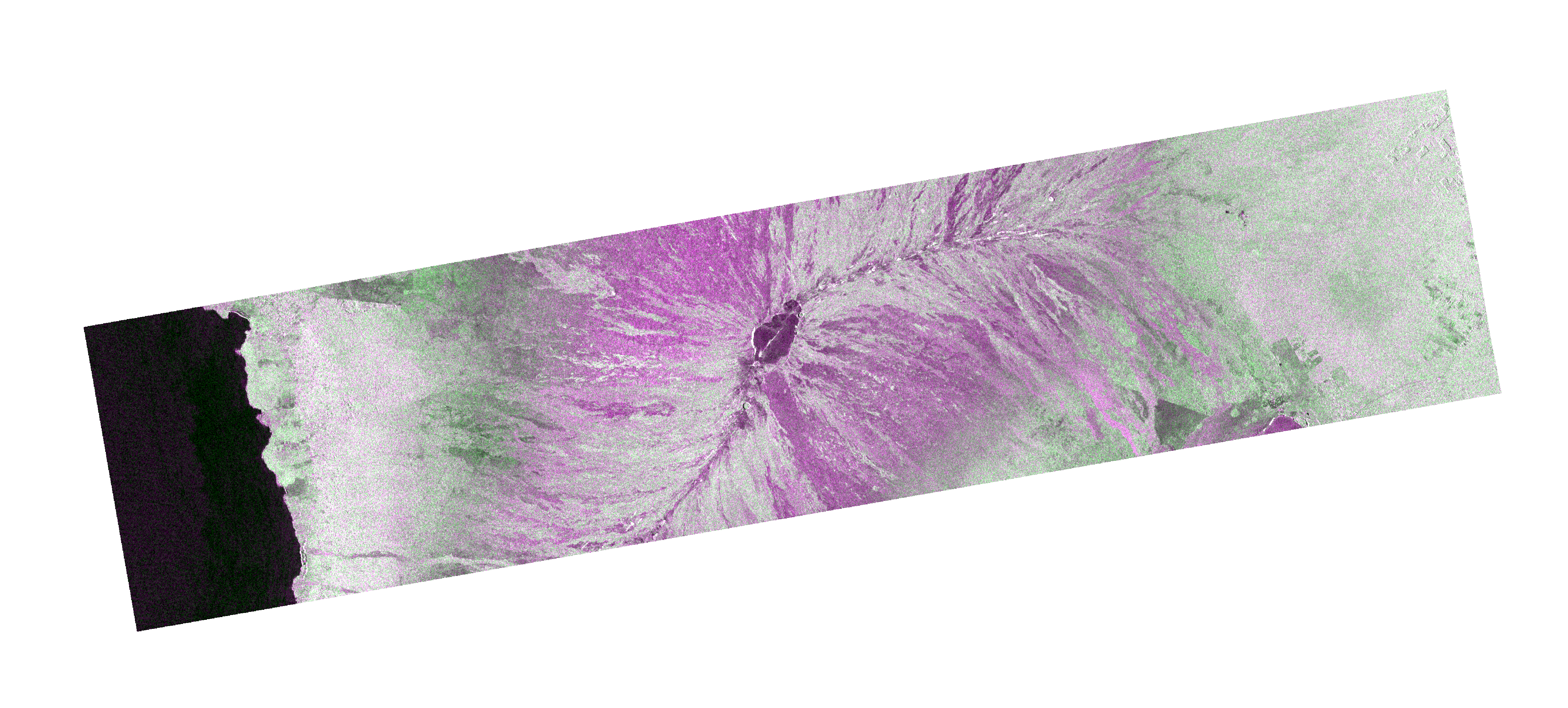
Federal
OPERA Radiometric Terrain Corrected SAR Backscatter from Sentinel-1 validated product (Version 1) recent views
National Aeronautics and Space Administration —
The Observational Products for End-Users from Remote Sensing Analysis (OPERA) Radiometric Terrain Corrected (RTC) SAR Backscatter from Sentinel-1 (S1) validated... -
Federal
Office of Water Linked Data recent views
U.S. Environmental Protection Agency —
The Office of Water Linked Data (OWLD) dataset stores EPA Water program information indexed to several National Hydrography Dataset frameworks. Indexing may be... -
Federal
NOAA Climate Data Record (CDR) of Passive Microwave Sea Ice Concentration, Version 2 recent views
National Oceanic and Atmospheric Administration, Department of Commerce —
The Passive Microwave Sea Ice Concentration Climate Data Record (CDR) dataset is generated using daily gridded brightness temperatures from the Defense Meteorological... -
Federal
Structure-from-Motion bathymetric maps from the Florida Keys, 2019 recent views
Department of the Interior —
Structure-from-Motion (SfM) bathymetric maps were created using seafloor images collected using the new 5-camera system SfM Quantitative Underwater Imaging Device... -
Federal
Fugro Cruise C16185 Line 0973, 75 kHz VMADCP recent views
National Oceanic and Atmospheric Administration, Department of Commerce —
Program of vessel mount ADCP measurements comprising a combination of 300kHz and 75kHz ADCP data collected in the vicinity of the Loop Current and drilling blocks... -
Federal
National Coral Reef Monitoring Program: Stratified Random Surveys (StRS) of Reef Fish, including Benthic Estimate Data of American Samoa since 2015 recent views
National Oceanic and Atmospheric Administration, Department of Commerce —
The stationary point count (SPC) method is used to conduct reef fish surveys in the Hawaiian and Mariana Archipelagos, American Samoa, and the Pacific Remote Island...

Official websites use .gov
A
.gov website belongs to an official government
organization in the United States.
Secure .gov websites use HTTPS
A
lock (
) or https:// means you’ve safely connected to
the .gov website. Share sensitive information only on official,
secure websites.