
-
Federal
EMIT L2A Estimated Surface Reflectance and Uncertainty and Masks 60 m V001
National Aeronautics and Space Administration —
The Earth Surface Mineral Dust Source Investigation (EMIT) instrument measures surface mineralogy, targeting the Earth’s arid dust source regions. EMIT is installed... -
Federal
2010 NOAA/USGS Lidar: French Frigate Shoals, NWHI
National Oceanic and Atmospheric Administration, Department of Commerce —
The U.S. Geological Survey (USGS) contracted with Hawaii-based Aerial Surveying, Inc. to collect lidar-derived elevation data over the low-lying areas within the... -
City
Standard of Coverage (SOC) 2017
City of Austin —
Standard of Coverage (CY2017) Austin Fire's Standard of Coverage (SOC) is "90% within 8 mins". In other words, our goal is to reach 90% of our emergency incidents... -
Federal
TEMPO geolocated Earth radiances twilight V03 (PROVISIONAL)
National Aeronautics and Space Administration —
Level 1 twilight radiance files provide radiance measured during twilight hours to capture city lights at TEMPO’s native spatial resolution, ~10 km^2 at the center of... -
Federal
TEMPO gridded NO2 tropospheric and stratospheric columns V03 (PROVISIONAL)
National Aeronautics and Space Administration —
Nitrogen dioxide Level 3 files provide trace gas information on a regular grid covering the TEMPO field of regard for nominal TEMPO observations. Level 3 files are... -
Federal
Imagery data for the Vegetation Mapping Inventory Project of Natchez Trace Parkway
Department of the Interior —
This reference contains the imagery data used in the completion of the baseline vegetation inventory project for the NPS park unit. Orthophotos, raw imagery, and... -
Federal
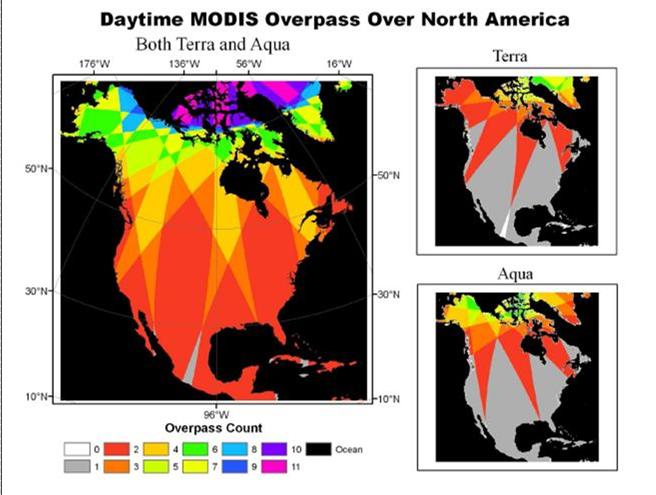
NACP: MODIS Daily Land Incident 4-km PAR Images For North America, 2003-2005
National Aeronautics and Space Administration —
This data set contains daily Moderate Resolution Imaging Spectroradiometer (MODIS) land incident photosynthetically active radiation (PAR) images over North America... -
Federal
LBA-ECO LC-07 Amazon Floodplain Lake Chlorophyll from MODIS, Para, Brazil: 2002-2003
National Aeronautics and Space Administration —
This data set contains chlorophyll concentration maps of the Amazon River floodplain region from Parintins (Amazonas) to Almeirim (Para). These chlorophyll fraction... -
Federal
TEMPO solar irradiance (reference diffuser) V03 (PROVISIONAL)
National Aeronautics and Space Administration —
Level 1 reference irradiance files provide solar irradiance measured using the reference solar diffuser. Each file includes the measured solar irradiance for all the... -
Federal
TEMPO solar irradiance V03 (PROVISIONAL)
National Aeronautics and Space Administration —
Level 1 irradiance files provide solar irradiance measured using the working solar diffuser. Each file includes the measured solar irradiance for all the North-South... -
Federal
TEMPO gridded formaldehyde total column V03 (PROVISIONAL)
National Aeronautics and Space Administration —
Formaldehyde Level 3 files provide trace gas information on a regular grid covering the TEMPO field of regard for nominal TEMPO observations. Level 3 files are... -
Federal
TEMPO geolocated Earth radiances V03 (PROVISIONAL)
National Aeronautics and Space Administration —
Level 1 radiance files provide radiance information at TEMPO’s native spatial resolution, ~10 km^2 at the center of the Field of Regard (FOR), for individual... -
Federal
TEMPO dark exposure V03 (PROVISIONAL)
National Aeronautics and Space Administration —
Level 1 dark files provide the processed dark currents, corresponding to either solar irradiance measurements or radiance measurements. Each file includes the... -
Federal
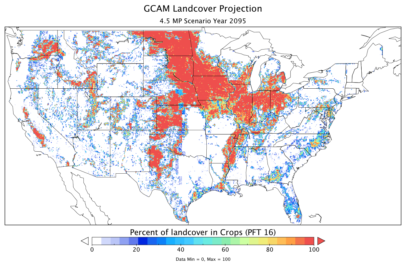
CMS: Land Cover Projections (5.6-km) from GCAM v3.1 for Conterminous USA, 2005-2095
National Aeronautics and Space Administration —
The data provided are annual land cover projections for years 2005 through 2095 generated by the Global Change Assessment Model (GCAM) Version 3.1. For the... -
Federal
Dynamics and Chemistry of the Summer Stratosphere Radar and Satellite (Remote Sensing) Data Products
National Aeronautics and Space Administration —
DCOTSS-Radar-Satellite-Data feature the radar and satellite data products for the Dynamics and Chemistry of the Summer Stratosphere sub-orbital campaign. Featured in... -
Federal
2010 Northwestern Hawaiian Islands Lidar - Lisianki Island
National Oceanic and Atmospheric Administration, Department of Commerce —
The U.S. Geological Survey (USGS) contracted with Hawaii-based Aerial Surveying, Inc. to collect lidar-derived elevation data over the low-lying areas within the...

Official websites use .gov
A
.gov website belongs to an official government
organization in the United States.
Secure .gov websites use HTTPS
A
lock (
) or https:// means you’ve safely connected to
the .gov website. Share sensitive information only on official,
secure websites.