
-
Federal
MASTER: Jornada Experiment-Airborne Science, Southwest US, October 2008
National Aeronautics and Space Administration —
This dataset includes Level 1B (L1B) data products from the MODIS/ASTER Airborne Simulator (MASTER) instrument. The spectral data were collected as part of the... -
Federal
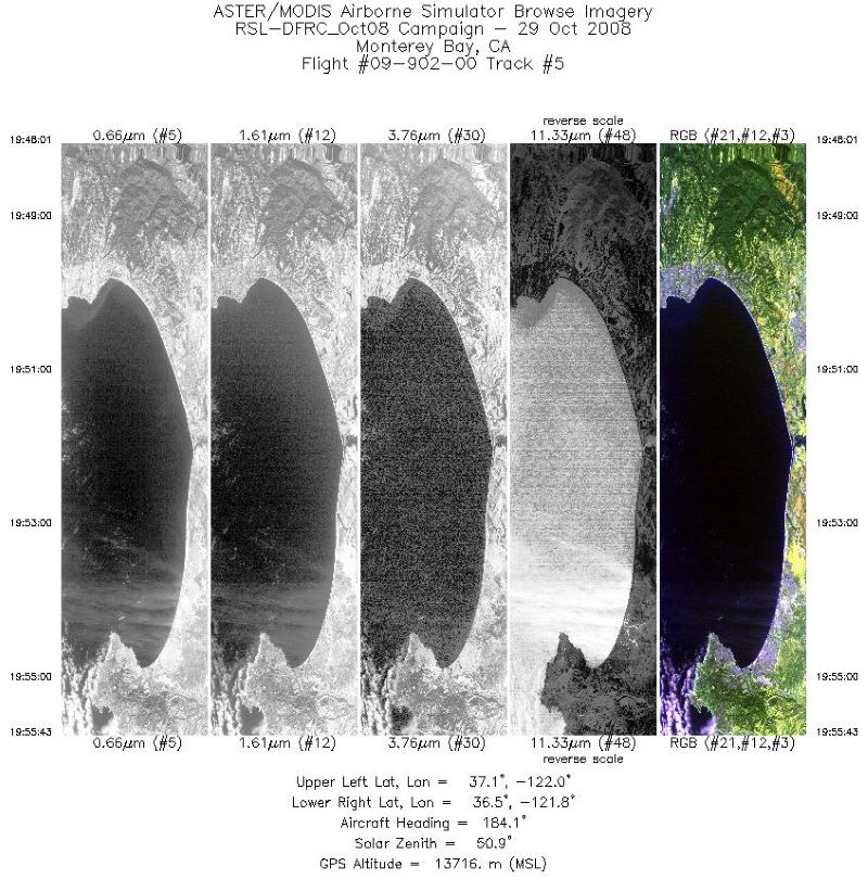
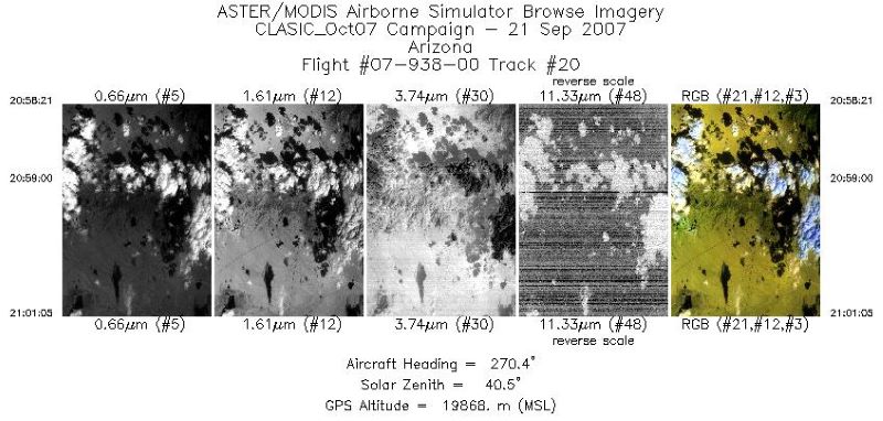
MASTER: Cloud And Land Surface Interaction Campaign, California-Oklahoma, 2007
National Aeronautics and Space Administration —
This dataset includes Level 1B (L1B) and Level 2 (L2) data products from the MODIS/ASTER Airborne Simulator (MASTER) instrument. The spectral data were collected... -
Federal
BOREAS HYD-03 1996 Tree Stem Density Data
National Aeronautics and Space Administration —
The BOREAS HYD-03 team collected several data sets related to the hydrology of forested areas. This data set contains measurements of stem density from a variety of... -
Federal
LBA Regional Historical Croplands, 5-min, 1900-1992 (Ramankutty and Foley)
National Aeronautics and Space Administration —
This data set is a subset of a global croplands data set (Ramankutty and Foley 1999a). The subset was created for the study area of the Large Scale Biosphere-... -
Federal
BOREAS HYD-03 Canopy Density Data
National Aeronautics and Space Administration —
The BOREAS HYD-03 team collected several data sets related to the hydrology of forested areas. This data set contains measurements of canopy density (closure) from a... -
Federal
Integrated Biosphere Simulator Model (IBIS), Version 2.5
National Aeronautics and Space Administration —
The Integrated Biosphere Simulator (or IBIS) is designed to be a comprehensive model of the terrestrial biosphere; the model represents a wide range of processes,... -
Federal
Land Surface Model (LSM 1.0) for Ecological, Hydrological, Atmospheric Studies
National Aeronautics and Space Administration —
The NCAR LSM 1.0 is a land surface model developed by Gordon Bonan to examine biogeophysical and biogeochemical land-atmosphere interactions, especially the effects... -
Federal
LBA Regional Land Cover from AVHRR, 8-km, 1984 (DeFries et al.)
National Aeronautics and Space Administration —
This data set is a subset of an 8-km global land cover product (DeFries et al. 1998). This subset was created for the study area of the Large Scale Biosphere-... -
Federal
Global Soil Texture and Derived Water-Holding Capacities (Webb et al.)
National Aeronautics and Space Administration —
A standardized global data set of soil horizon thicknesses and textures (particle size distributions) was compiled by Webb et al. This data set will be used for the... -
Federal
ISLSCP II River Routing Data (STN-30p)
National Aeronautics and Space Administration —
The Simulated Topological Network (STN-30p) data set provides the large-scale hydrological modeling community an accurate representation of the global river system at... -
Federal
Wetland Salinity Maps of Select Estuary Sites in the United States, 2020
National Aeronautics and Space Administration —
This dataset provides gridded average annual wetland salinity concentrations in practical salinity units (PSU) at 30-meter resolution within 24 coastal estuary sites... -
Federal
ISLSCP II Global Precipitation Climatology Centre (GPCC) Monthly Precipitation
National Aeronautics and Space Administration —
The Global Precipitation Climatology Centre (GPCC), which is operated by the Deutscher Wetterdienst (National Meteorological Service of Germany), is a component of... -
Federal
BOREAS HYD-03 Snow Pit Measurements: 1996
National Aeronautics and Space Administration —
The BOREAS HYD-03 team collected several data sets related to the hydrology of forested areas. This data set contains measurements of snow depth, snow density in 3-cm... -
Federal
SAFARI 2000 MODIS MOD05_L2 Water Vapor Data, Binary Format, for Southern Africa
National Aeronautics and Space Administration —
The Moderate Resolution Imaging Spectroradiometer (MODIS) precipitable water product consists of vertical column water-vapor amounts in centimeters (cm) at 1-km... -
Federal
BOREAS TF-10 NSA-Fen Tower Flux and Meteorological Data
National Aeronautics and Space Administration —
The BOREAS TF-10 team collected tower flux and meteorological data at two sites, a fen and a young jack pine forest, near Thompson, Manitoba, Canada, as part of... -
Federal
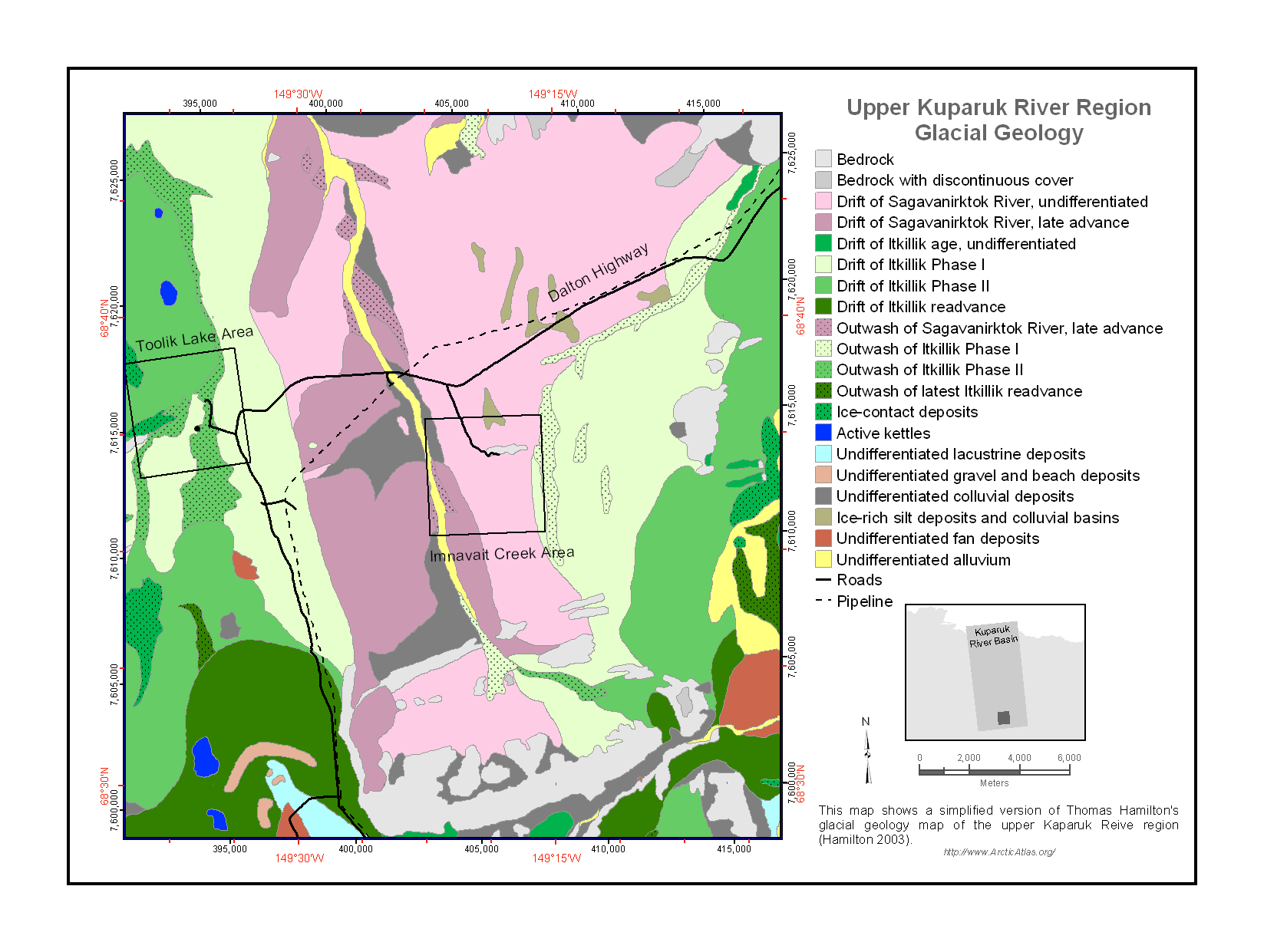
Maps of Vegetation Types and Physiographic Features, Kuparuk River Basin, Alaska
National Aeronautics and Space Administration —
This data set provides a collection of vegetation, landscape, geobotanical, elevation, hydrology, and geologic maps for the Kuparuk River Basin, North Slope, Alaska.... -
Federal
BOREAS HYD-03 SSA/OLD Aspen DBH Data
National Aeronautics and Space Administration —
The BOREAS HYD-03 team collected several data sets related to the hydrology of forested areas. This data set contains measurements of tree diameter at breast height... -
Federal
BOREAS TGB-03 Dissolved Organic Carbon Data from the NSA
National Aeronautics and Space Administration —
The BOREAS TGB-03 team collected Dissolved Organic Carbon (DOC) data during the summer of 1994 in the Northern Study Area. The purpose of this work was to establish...

Official websites use .gov
A
.gov website belongs to an official government
organization in the United States.
Secure .gov websites use HTTPS
A
lock (
) or https:// means you’ve safely connected to
the .gov website. Share sensitive information only on official,
secure websites.