
-
Federal
VEMAP 1: U.S. Site Files
National Aeronautics and Space Administration —
The Vegetation/Ecosystem Modeling and Analysis Project (VEMAP) is an ongoing multiinstitutional, international effort addressing the response of biogeography and... -
Federal
Global Distribution of Plant-Extractable Water Capacity of Soil (Dunne)
National Aeronautics and Space Administration —
Plant-extractable water capacity of soil is the amount of water that can be extracted from the soil to fulfill evapotranspiration demands. It is often assumed to be... -
Federal
Global Vegetation Types, 1971-1982 (Matthews)
National Aeronautics and Space Administration —
The global vegetation type data of 1 x 1 degree latitude and longitude resolution were designed for use in studies of climate and climate change. Vegetation data were... -
Federal
Global Data Set of Derived Soil Properties, 0.5-Degree Grid (ISRIC-WISE)
National Aeronautics and Space Administration —
The World Inventory of Soil Emission Potentials (WISE) database currently contains data for over 4300 soil profiles collected mostly between 1950 and 1995. This... -
Federal
VEMAP 2: U.S. Annual Climate Change Scenarios
National Aeronautics and Space Administration —
The Vegetation/Ecosystem Modeling and Analysis Project (VEMAP) Phase 2 has developed a number of transient climate change scenarios based on coupled atmosphere-ocean... -
Federal
SMEX03 Regional Ground Soil Moisture Data: Alabama, Version 1
National Aeronautics and Space Administration —
This data set comprises gravimetric soil moisture and soil bulk density data collected during the Soil Moisture Experiment 2003 (SMEX03), which was conducted during... -
Federal
VEMAP 1: U.S. Potential Natural Vegetation
National Aeronautics and Space Administration —
The Vegetation/Ecosystem Modeling and Analysis Project (VEMAP) is an ongoing multiinstitutional, international effort addressing the response of biogeography and... -
Federal
VEMAP 1: Georeferencing
National Aeronautics and Space Administration —
The Vegetation/Ecosystem Modeling and Analysis Project (VEMAP) is an ongoing multiinstitutional, international effort addressing the response of biogeography and... -
Federal
NPP Temperate Forest: Great Smoky Mountains, Tennessee, USA, 1968-1992, R1
National Aeronautics and Space Administration —
This data set contains two data files (.csv format). One file contains site characteristics, stand descriptors, and above-ground biomass and ANPP data for seven old-... -
Federal
Health Monitoring and Prognostics for Computer Servers
National Aeronautics and Space Administration —
Abstract Prognostics solutions for mission critical systems require a comprehensive methodology for proactively detecting and isolating failures, recommending and... -
Federal
LiDAR-derived Vegetation Canopy Structure, Great Smoky Mountains National Park, 2011
National Aeronautics and Space Administration —
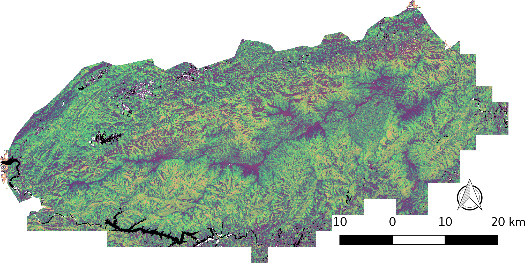
This dataset provides multiple-return LiDAR-derived vegetation canopy structure at 30-meter spatial resolution for the Great Smoky Mountains National Park (GSMNP).... -
Federal
VEMAP 1: U.S. Soil
National Aeronautics and Space Administration —
The Vegetation/Ecosystem Modeling and Analysis Project (VEMAP) is an ongoing multiinstitutional, international effort addressing the response of biogeography and... -
Federal
VEMAP 2: U.S. Monthly Climate, 1895-1993, Version 2
National Aeronautics and Space Administration —
The Vegetation/Ecosystem Modeling and Analysis Project (VEMAP) Phase 2 has developed a data set of ~100-year gridded monthly and daily time series of climate for the... -
Federal
Global Leaf Area Index from Field Measurements, 1932-2000
National Aeronautics and Space Administration —
Approximately 1000 published estimates of leaf area index (LAI) from nearly 400 unique field sites, covering the period 1932-2000, have been compiled into a single... -
Federal
VEMAP 1: U.S. Climate Change Scenarios Based on Models with Increased CO2
National Aeronautics and Space Administration —
The Vegetation/Ecosystem Modeling and Analysis Project (VEMAP) is an ongoing multiinstitutional, international effort addressing the response of biogeography and... -
Federal
VEMAP 2: U.S. Monthly Climate Change Scenarios, Version 2
National Aeronautics and Space Administration —
The Vegetation/Ecosystem Modeling and Analysis Project (VEMAP) Phase 2 has developed a number of transient climate change scenarios based on coupled atmosphere-ocean... -
Federal
VEMAP 1: U.S. Climate, 1961-1990
National Aeronautics and Space Administration —
The Vegetation/Ecosystem Modeling and Analysis Project (VEMAP) is an ongoing multiinstitutional, international effort addressing the response of biogeography and... -
Federal
NARSTO SOS99 Nashville Tennessee Valley Authority (TVA) Surface Meteorology and Chemistry Data
National Aeronautics and Space Administration —
NARSTO_SOS99NASH_SURFACE_MET_CHEM_DATA is the North American Research Strategy for Tropospheric Ozone (NARSTO) SOS99 Nashville Tennessee Valley Authority (TVA)... -
Federal
Global Soil Texture and Derived Water-Holding Capacities (Webb et al.)
National Aeronautics and Space Administration —
A standardized global data set of soil horizon thicknesses and textures (particle size distributions) was compiled by Webb et al. This data set will be used for the... -
Federal
VEMAP 2: U.S. Daily Climate Change Scenarios
National Aeronautics and Space Administration —
The Vegetation/Ecosystem Modeling and Analysis Project (VEMAP) Phase 2 has developed a number of transient climate change scenarios based on coupled atmosphere-ocean...

Official websites use .gov
A
.gov website belongs to an official government
organization in the United States.
Secure .gov websites use HTTPS
A
lock (
) or https:// means you’ve safely connected to
the .gov website. Share sensitive information only on official,
secure websites.