
-
Federal
Sentinel-6A GNSS-POD Level 1B Daily RINEX V1 (S6A_GN_1B_RNXD_AX_) at GES DISC
National Aeronautics and Space Administration —
This dataset provides the L1B Global Navigation Satellite System (GNSS) Precise Orbit Determination (POD) data generated by European Organisation for the Exploitation... -
Federal
LIMS/Nimbus-7 Level 1 Radiance Data V001 (LIMSN7L1PROFILER) at GES DISC
National Aeronautics and Space Administration —
LIMSN7L1PROFILER is the Nimbus-7 Limb Infrared Monitor of the Stratosphere (LIMS) Level-1 Profiles of Radiance Data product and contains selected daily vertical... -
Federal
ECOSTRESS Land Surface Temperature and Emissivity Daily L2 Global 70m V001
National Aeronautics and Space Administration —
The ECO2LSTE Version 1 data product was decommissioned on May 21, 2025. Users are encouraged to use the ECO_L2T_LSTE Version 2 and ECO_L2G_LSTE Version 2 data... -
Federal
ECOSTRESS Evapotranspiration dis-ALEXI Daily L3 CONUS 70 m V001
National Aeronautics and Space Administration —
The ECOsystem Spaceborne Thermal Radiometer Experiment on Space Station (ECOSTRESS) mission measures the temperature of plants to better understand how much water... -
Federal
DIAGNOSTIC/PROGNOSTIC EXPERIMENTS FOR CAPACITOR DEGRADATION AND HEALTH MONITORING IN DC-DC CONVERTERS
National Aeronautics and Space Administration —
Studying and analyzing the ageing mechanisms of electronic components avionics in systems such as the GPS and INAV are of critical importance. In DC-DC power... -
Federal
MLS/Aura Near-Real-Time L2 Water Vapor (H2O) Mixing Ratio V005 (ML2H2O_NRT) at GES DISC
National Aeronautics and Space Administration —
ML2H2O_NRT is the EOS Aura Microwave Limb Sounder (MLS) Near-Real-Time (NRT) product for water vapor (H2O). This product contains H2O profiles derived from the 190... -
Federal
HLS Landsat Operational Land Imager Surface Reflectance and TOA Brightness Daily Global 30m v2.0
National Aeronautics and Space Administration —
The Harmonized Landsat Sentinel-2 (HLS) project provides consistent surface reflectance (SR) and top of atmosphere (TOA) brightness data from a virtual constellation... -
Federal
JPSS-2 CrIS Level 1B Beta Full Spectral Resolution V3 (SNDRJ2CrISL1B) at GES DISC
National Aeronautics and Space Administration —
The goal of creating this product is to allow users to begin working with data from the CrIS instrument on-board the recently launched NOAA-21 / JPSS-2 (J2)... -
Federal
Accelerated Aging in Electrolytic Capacitors for Prognostics
National Aeronautics and Space Administration —
The focus of this work is the analysis of different degradation phenomena based on thermal overstress and electrical overstress accelerated aging systems and the use... -
Federal
ECOSTRESS Evapotranspiration dis-ALEXI USDA Daily L3 Global 30m V001
National Aeronautics and Space Administration —
The ECOsystem Spaceborne Thermal Radiometer Experiment on Space Station (ECOSTRESS) mission measures the temperature of plants to better understand how much water... -
Federal
MetOp-C ASCAT Level 2 Ocean Surface Wind Vectors Optimized for Coastal Ocean
National Aeronautics and Space Administration —
This dataset contains operational near-real-time Level 2 coastal ocean surface wind vector retrievals from the Advanced Scatterometer (ASCAT) on MetOp-C at 12.5 km... -
Federal
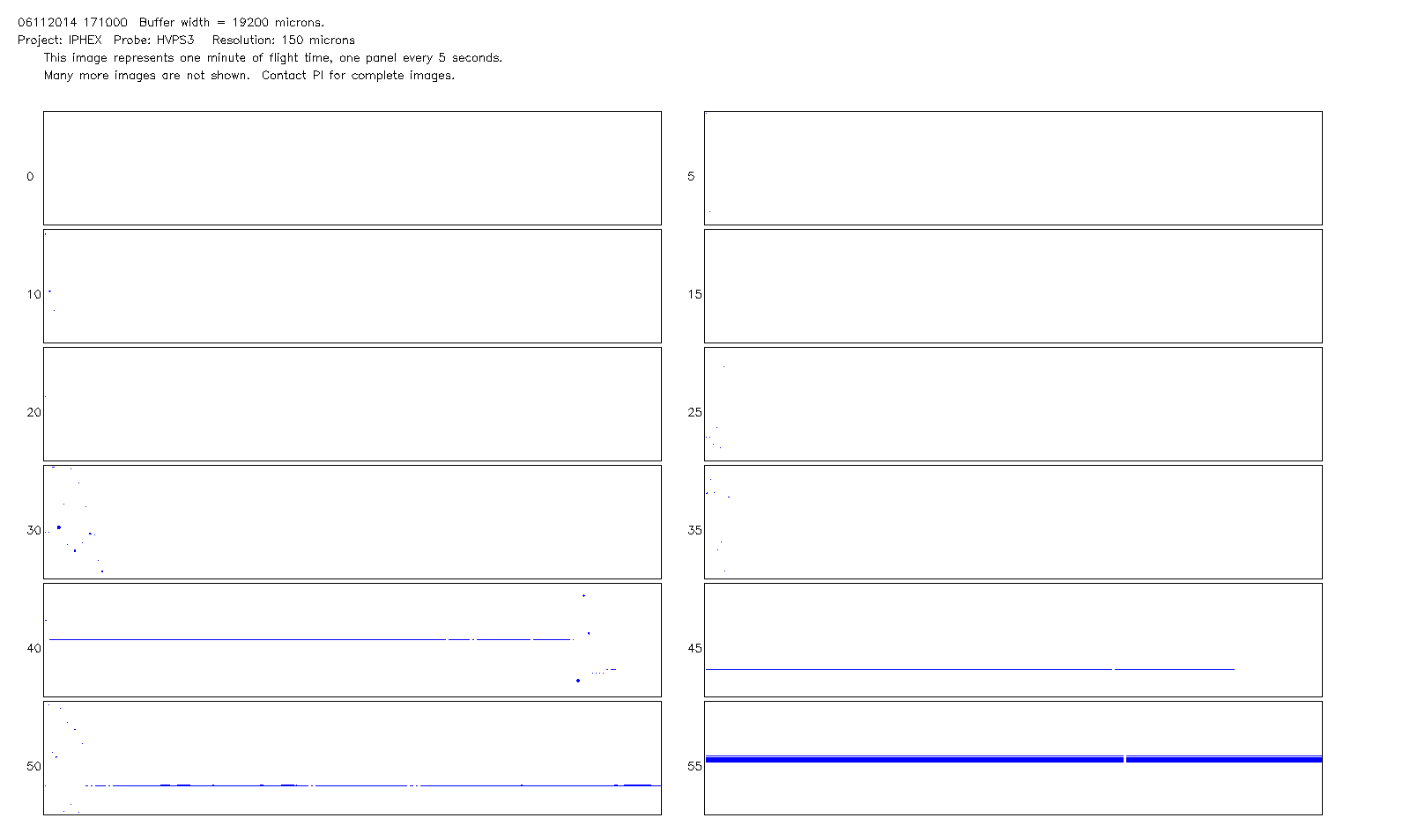
GPM Ground Validation NCAR Particle Probes IPHEx V1
National Aeronautics and Space Administration —
The GPM Ground Validation NCAR Particle Probes IPHEx dataset consists of Ice Water Content (IWC), particle number concentration normalized by bin width, and total... -
Federal
GPM GROUND VALIDATION NASA S-BAND DUAL POLARIMETRIC (NPOL) DOPPLER RADAR IFLOODS
National Aeronautics and Space Administration —
The GPM Ground Validation NASA S-Band Dual Polarimetric (NPOL) Doppler Radar IFloodS dataset was collected from April 30 to June 16, 2013 near Traer, Iowa as part of... -
Federal
GHRSST NOAA/STAR GOES-17 ABI L2P America Region SST v2.71 dataset in GDS2
National Aeronautics and Space Administration —
GOES-17 (G17) is the second satellite in the US NOAA's GOES-R series. It was launched on 1 Mar 2018 in an interim position at 89.5-deg W for initial Cal/Val, moved to... -
Federal
BARREL 4B X-ray Spectrometer (FSPC) Bremsstrahlung X-ray Spectrum Fast Time Resolution, Level 2, 0.05 s Data
National Aeronautics and Space Administration —
FSPC: Six channels of fast time resolution, 50 ms, Bremsstrahlung X-ray spectra detected with a NaI Scintillator. Each channel is separated in its own variable:... -
Federal
Wind 3DP Electron Plasma Moments
National Aeronautics and Space Administration —
Electron Plasma moments (computed on-board) (NOT CORRECTED FOR S/C POTENTIAL) @ 3 second (spin) resolution (version 3), EESA LOW, Wind 3DP - R. Lin (UC Berkeley) -
Federal
GPM Ground Validation NASA ER-2 Navigation Data OLYMPEX V1
National Aeronautics and Space Administration —
The GPM Ground Validation NASA ER-2 Navigation Data OLYMPEX dataset supplies navigation data collected by the NASA ER-2 aircraft for flights that occurred during... -
Federal
GEDI L1B Geolocated Waveform Data Global Footprint Level V001
National Aeronautics and Space Administration —
GEDI Version 1 data products were decommissioned on February 15, 2022. Users are advised to use the improved GEDI01_B Version 2 data product.The Global Ecosystem... -
Federal
RSS SMAP Level 2C Sea Surface Salinity NRT V6.0 Validated Dataset
National Aeronautics and Space Administration —
The SMAP-SSS level 2C near real-time (NRT) V6.0 dataset produced by the Remote Sensing Systems (RSS) and sponsored by the NASA Ocean Salinity Science Team, is a... -
Federal
GEDI L2A Elevation and Height Metrics Data Global Footprint Level V001
National Aeronautics and Space Administration —
GEDI Version 1 data products were decommissioned on February 15, 2022. Users are advised to use the improved GEDI02_A Version 2 data product.The Global Ecosystem...

Official websites use .gov
A
.gov website belongs to an official government
organization in the United States.
Secure .gov websites use HTTPS
A
lock (
) or https:// means you’ve safely connected to
the .gov website. Share sensitive information only on official,
secure websites.