

53 datasets found for "Win4 Slots💯rummy big win💯win4.cloud"
-
Federal
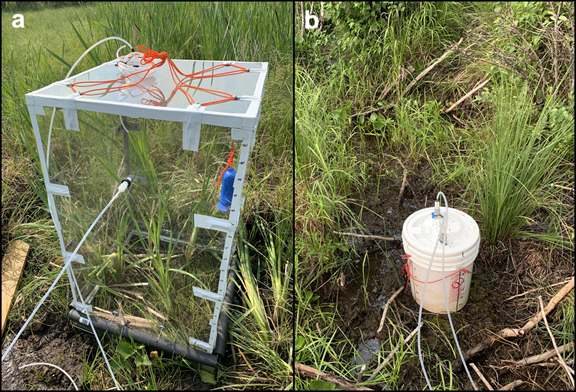
Methane Fluxes from Shorelines and Differing Surfaces, Big Trail Lake, Alaska, 2019
National Aeronautics and Space Administration —
This dataset provides methane fluxes from hot-spot and non-hot spot differing surfaces at Big Trail Lake (BTL) in the Goldstream Valley near Fairbanks, AK, USA.... -
Federal
UAVSAR_POLSAR_INCIDENCE
National Aeronautics and Space Administration —
UAVSAR PolSAR Scene Incidence Angle -
Federal
UAVSAR_INSAR_KMZ
National Aeronautics and Space Administration —
UAVSAR Repeat Pass Interferometry Scene KMZ -
Federal
SE-590 Leaf Optical Prop. Data (FIFE)
National Aeronautics and Space Administration —
The SE-590 Leaf Level Spectral Observations from GSFC Data Set were acquired in situ with a Spectron SE590 spectroradiometer fitted with the 1 degree IFOV lens, and... -
Federal
MMR Leaf Optical Properties Data (FIFE)
National Aeronautics and Space Administration —
The Leaf Optical Properties from UNL Data Set contains leaf-level spectral observations acquired in situ with the Nebraska Multiband Leaf Radiometer (NMLR) coupled... -
Federal
Measurements along the Big Bend Wildlife Preservation area, Florida
National Aeronautics and Space Administration —
Measurements made along the Big Bend Wildlife Preservation area of the Florida Gulf Coast in 2010 and 2011. -
Federal
NPP Grassland: Bridger, USA, 1970-1973, R1
National Aeronautics and Space Administration —
This data set contains three ASCII text files for the Bridger grassland study site in the Rocky Mountains (45.78 N, -110.78 W, Elevation 2,340 m). Two files contain... -
Federal
Rock glaciers, Zailiysiky Range, Kungei Ranges, Tienshan, Kazakhstan, Version 1
National Aeronautics and Space Administration —
The Zailiyskiy Alatau is the northernmost parallel latitudinal ranges of the Northern Tien Shan. The highest point of this range is the Talgar peak (4973 m a.s.l.).... -
Federal
TRMM (TMPA-RT) Near Real-Time IR precipitation estimate L3 1-hour 0.25 degree x 0.25 degree V7 (TRMM_3B41RT) at GES DISC
National Aeronautics and Space Administration —
TMPA (3B41RT) dataset have been discontinued as of Dec. 31, 2019, and users are strongly encouraged to shift to the successor IMERG datasets (doi:... -
Federal
GLAS/ICESat 500 m Laser Altimetry Digital Elevation Model of Antarctica, Version 1
National Aeronautics and Space Administration —
The Geoscience Laser Altimeter System (GLAS) instrument on the Ice, Cloud, and land Elevation Satellite (ICESat) provides global measurements of elevation, and... -
Federal
BigFoot NPP Surfaces for North and South American Sites, 2000-2004
National Aeronautics and Space Administration —
The BigFoot project gathered Net Primary Production (NPP) data for nine EOS Land Validation Sites located from Alaska to Brazil from 2000 to 2004. Each site is... -
Federal
Australia Telescope Hubble Deep Field-South Optical Identifications Catalog
National Aeronautics and Space Administration —
The Australia Telescope Hubble Deep Field-South (ATHDF-S) survey of the Hubble Deep Field-South (HDF-S) reaches sensitivities of ~ 10 µJy (µJy) at 1.4, 2.5, 5.2, and... -
Federal
TRMM (TMPA-RT) Near Real-Time Microwave precipitation estimate L3 3 hour 0.25 degree x 0.25 degree V7 (TRMM_3B40RT) at GES DISC
National Aeronautics and Space Administration —
TMPA (3B40RT) dataset have been discontinued as of Dec. 31, 2019, and users are strongly encouraged to shift to the successor IMERG datasets (doi:...
53 datasets found for "Win4 Slots💯rummy big win💯win4.cloud"