
-
Federal
BigFoot Field Data for North American Sites, 1999-2003
National Aeronautics and Space Administration —
The BigFoot project gathered field data for selected EOS Land Validation Sites in North America from 1999 to 2003. Data collected and derived for varying intervals at... -
Federal
UAVSAR_POLSAR_ML_COMPLEX_GRD_5X5
National Aeronautics and Space Administration —
UAVSAR PolSAR Scene Projected Multilook 5x5 -
Federal
AIRSAR_TOPSAR_L-BAND_STOKES
National Aeronautics and Space Administration —
AIRSAR topographic SAR digital elevation model L_Stokes product -
Federal
AIRSAR_TOPSAR_DEM_P
National Aeronautics and Space Administration —
AIRSAR topographic SAR digital elevation model PTIF product -
Federal
AIRSAR_TOPSAR_DEM_L
National Aeronautics and Space Administration —
AIRSAR topographic SAR digital elevation model LTIF product -
Federal
UAVSAR_INSAR_INTERFEROGRAM
National Aeronautics and Space Administration —
UAVSAR Repeat Pass Interferometry Scene -
Federal
UAVSAR_INSAR_DEM
National Aeronautics and Space Administration —
UAVSAR Repeat Pass Interferometry Scene DEM TIFF -
Federal
UAVSAR_POLSAR_ML_COMPLEX_GRD_3X3
National Aeronautics and Space Administration —
UAVSAR PolSAR Scene Projected Multilook 3x3 -
Federal
UAVSAR_INSAR_INTERFEROGRAM_GRD
National Aeronautics and Space Administration —
UAVSAR Repeat Pass Interferometry Ground Projected Scene -
Federal
ARC Code TI: BigView
National Aeronautics and Space Administration —
BigView allows for interactive panning and zooming of images of arbitrary size on desktop PCs running linux. Additionally, it can work in a multi-screen environment... -
Federal
UAVSAR_POLSAR_ML_COMPLEX_SLANT
National Aeronautics and Space Administration —
UAVSAR PolSAR Scene Complex -
Federal
GLAS/ICESat 1 km Laser Altimetry Digital Elevation Model of Greenland, Version 1
National Aeronautics and Space Administration —
The Geoscience Laser Altimeter System (GLAS) instrument on the Ice, Cloud, and land Elevation Satellite (ICESat) provides global measurements of elevation, and... -
Federal
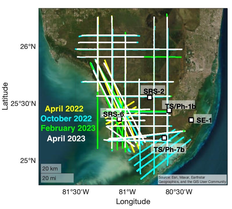
BlueFlux Airborne Trace Gases, Fluxes, and Mixing Ratios, Southern Florida, 2022-2023
National Aeronautics and Space Administration —
This dataset includes airborne in situ measurements of greenhouse gas mixing ratios, meteorological parameters, and fluxes (CO2, CH4, latent heat fluxes, friction... -
Federal
UAVSAR_INSAR_METADATA
National Aeronautics and Space Administration —
UAVSAR Repeat Pass Interferometry Scene Metadata -
Federal
UAVSAR_POLSAR_DEM
National Aeronautics and Space Administration —
UAVSAR PolSAR Scene DEM TIFF -
Federal
Water quality measurements near the Big Bend Seagrasses Aquatic Preserve, Florida
National Aeronautics and Space Administration —
Water quality measurements taken near the Big Bend Seagrasses Aquatic Preserve in Florida. -
Federal
UAVSAR_POLSAR_PAULI
National Aeronautics and Space Administration —
UAVSAR PolSAR Scene Pauli Decomposition -
Federal
UAVSAR_INSAR_AMPLITUDE
National Aeronautics and Space Administration —
UAVSAR Repeat Pass Interferometry Amplitude Scene -
Federal
BigFoot Land Cover Surfaces for North and South American Sites, 2000-2003
National Aeronautics and Space Administration —
The BigFoot project gathered data for nine EOS Land Validation Sites located from Alaska to Brazil from 2000 to 2003. Each site is representative of one or two...

Official websites use .gov
A
.gov website belongs to an official government
organization in the United States.
Secure .gov websites use HTTPS
A
lock (
) or https:// means you’ve safely connected to
the .gov website. Share sensitive information only on official,
secure websites.