
-
Federal
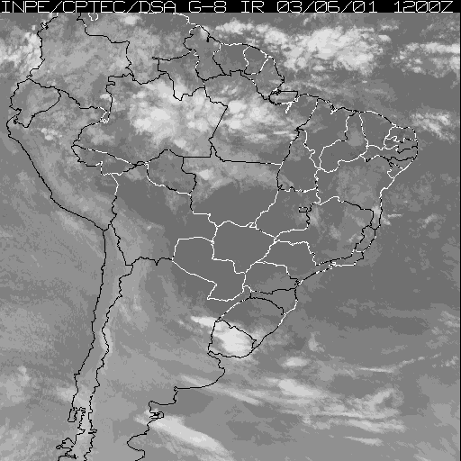
JERS-1 Synthetic Aperture Radar, 100-m Mosaics, South America: 1995-1996, R1 recent views
National Aeronautics and Space Administration —
This data set provides ~100-m resolution image mosaics of South America acquired during the low flood season between September and December 1995 and during the high... -
Federal
BOREAS Scanning Lidar Imager of Canopies by Echo Recovery (SLICER): Level-3 Data recent views
National Aeronautics and Space Administration —
Scanning Lidar Imager of Canopies by Echo Recovery (SLICER) data were acquired in support of BOReal Ecosystem-Atmosphere Study (BOREAS) at all of the Tower Flux (TF)... -
Federal
LBA-ECO CD-01 Meteorological Data, Tapajos and Amazon Rivers, Santarem, Brazil: 2001 recent views
National Aeronautics and Space Administration —
This data set contains meteorological data collected around the confluence of the Tapajos River with the Amazon River in the Amazon Basin near Santarem, Brazil, in... -
Federal
Global Soil Types, 1-Degree Grid (Zobler) recent views
National Aeronautics and Space Administration —
A global digital data base of soil properties is available at 1 degree longitude resolution. For each land cell, the data base includes major and associated soil... -
Federal
ISLSCP II Atmospheric Carbon Dioxide Consumption by Continental Erosion recent views
National Aeronautics and Space Administration —
The Continental Atmospheric CO2 Consumption data set represents gridded estimates for the riverine export of carbon and of sediments based on empirical models. All... -
Federal
BOREAS/SRC AMS Suite A Surface Meteorological and Radiation Data: 1994 recent views
National Aeronautics and Space Administration —
Contains the data collected in 1994 by the AMS suite A instrument set operated by SRC and provided to BORIS. -
Federal
BOREAS/SRC AMS Suite A Surface Meteorological and Radiation Data: 1996 recent views
National Aeronautics and Space Administration —
Contains the data collected in 1996 by the AMS suite A instrument set operated by SRC and provided to BORIS. -
Federal
BOREAS Follow-On DSP-01 NBIOME Level-4 AVHRR Land Cover, Canada, Ver. 1.1, 1995 recent views
National Aeronautics and Space Administration —
This land cover product was produced by NBIOME to generate an up-to-date, spatially and temporally consistent land cover map of the landmass of Canada for use by... -
Federal
BOREAS RSS-04 1994 Southern Study Area Jack Pine LAI & FPAR Data recent views
National Aeronautics and Space Administration —
Contains Decagon Ceptometer estimates of LAI and fPAR. Contains LI-COR LAI-2000 estimates of leaf area index and mean tip angle. -
Federal
BOREAS HYD-06 Aircraft Gamma Ray Soil Moisture recent views
National Aeronautics and Space Administration —
Contains the aircraft estimates of soil moisture measured by the gamma ray instrument from HYD06. -
Federal
BOREAS/SRC AMS Suite B Surface Meteorological and Radiation Data: 1996 recent views
National Aeronautics and Space Administration —
Contains the data collected in 1996 by the AMS suite B instrument set operated by SRC and provided to BORIS. -
Federal
BOREAS/SRC AMS Suite B Surface Meteorological and Radiation Data: 1995 recent views
National Aeronautics and Space Administration —
Contains the data collected in 1995 by the AMS suite B instrument set operated by SRC and provided to BORIS. -
Federal
BOREAS/SRC AMS Suite B Surface Meteorological and Radiation Data: 1994 recent views
National Aeronautics and Space Administration —
Contains the data collected in 1994 by the AMS suite B instrument set operated by SRC and provided to BORIS. -
Federal
BOREAS HYD-01 Soil Hydraulic Properties recent views
National Aeronautics and Space Administration —
Contains the hydraulic properties of the soil at each tower flux site determined by the HYD-01 science team. -
Federal
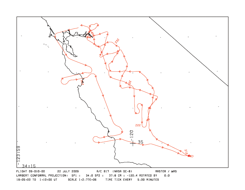
MASTER: HyspIRI Airborne Campaign, California and Nevada, Summer 2016 recent views
National Aeronautics and Space Administration —
This dataset includes Level 1B (L1B) and Level 2 (L2) data products from the MODIS/ASTER Airborne Simulator (MASTER) instrument. The data were collected as part of... -
Federal
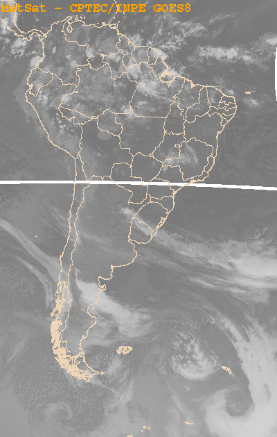
SAFARI 2000 SeaWiFS Images for Core Study Sites, 2000-2001 recent views
National Aeronautics and Space Administration —
This data set contains Sea-viewing Wide Field-of-view Sensor (SeaWiFS) imagery for the eight core study sites of Mongu, Etosha, Kasangu, Skukuza, Mutoko, Mzola,... -
Federal
RLC Forest Stand Carbon Map of Russia recent views
National Aeronautics and Space Administration —
This dataset is a 1:15 million scale map of forest stand carbon for the land area of Russia (Stone et al., 2000). The objective was to create a first approximation of... -
Federal
ISLSCP II Global River Fluxes of Carbon and Sediments to the Oceans recent views
National Aeronautics and Space Administration —
The River Carbon Flux data set represents estimates for the riverine export of carbon and of sediments. This data set includes the amounts of carbon and of sediments... -
Federal
BOREAS HYD-03 Subcanopy Radiation Data recent views
National Aeronautics and Space Administration —
This table contains the sub-canopy radiation data collected by HYD-3. -
Federal
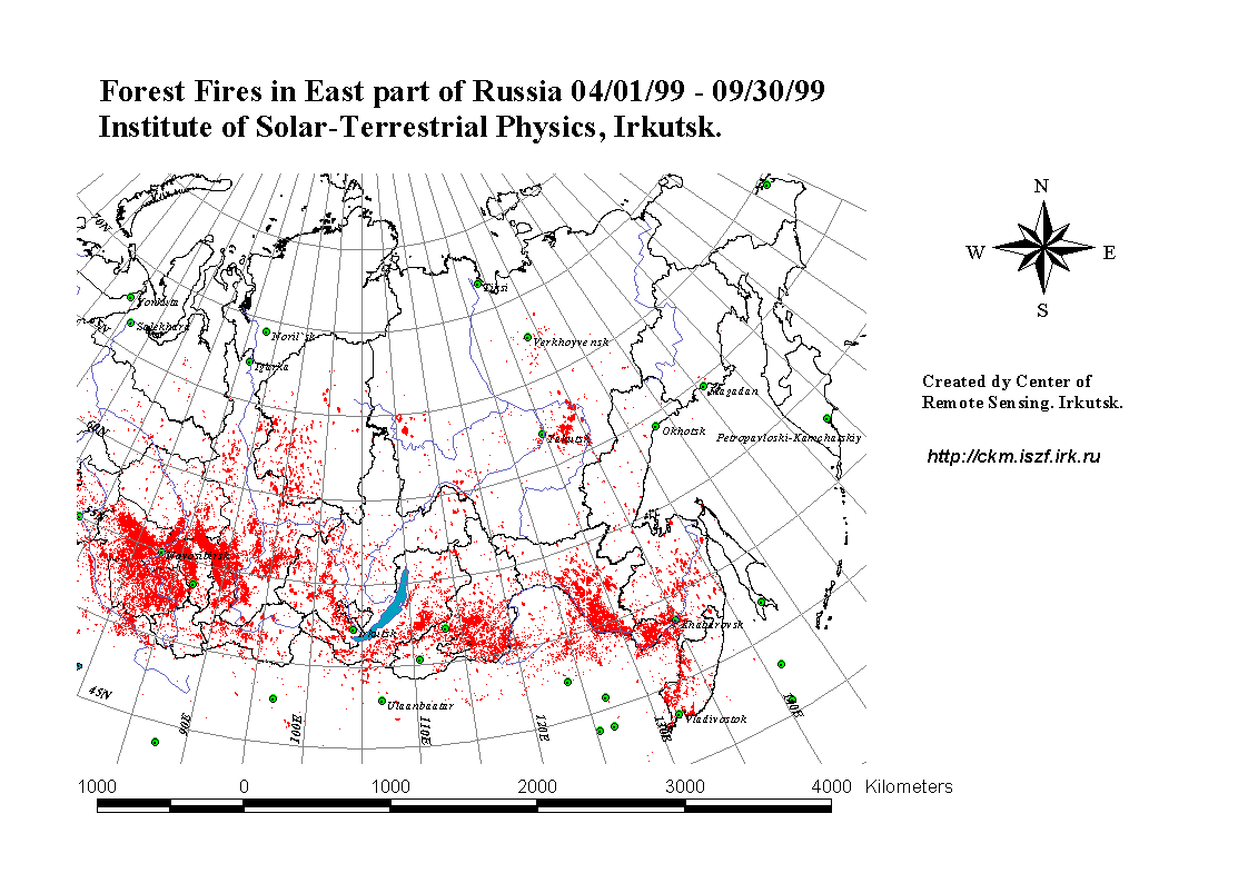
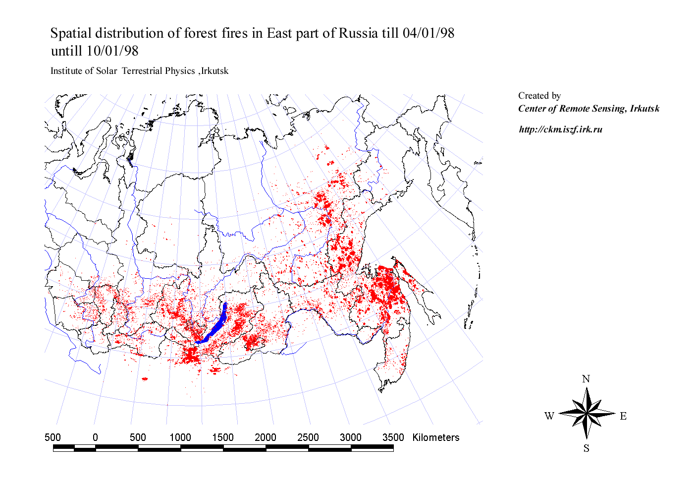
RLC Forest Fire Locations in Eastern Russia, 1998-1999 recent views
National Aeronautics and Space Administration —
This dataset is derived from Russian forest fire imagery from the National Forest Fire Center of Russia archive that was collected by the Center of Remote Sensing,...

Official websites use .gov
A
.gov website belongs to an official government
organization in the United States.
Secure .gov websites use HTTPS
A
lock (
) or https:// means you’ve safely connected to
the .gov website. Share sensitive information only on official,
secure websites.