
-
County
Loudoun 2020 Census Blocks
Loudoun County, Virginia —
This GIS layer contains the geographical boundaries of the 2020 census blocks for Loudoun County, Virginia. The 2020 Census block boundaries were used for statistical... -
Federal
TIGER/Line Shapefile, Current, State, West Virginia, 2020 Census Block
U.S. Census Bureau, Department of Commerce —
This resource is a member of a series. The TIGER/Line shapefiles and related database files (.dbf) are an extract of selected geographic and cartographic information... -
Federal
Shorelines_Oct2012_Sep2016.shp: Fire Island, NY pre and post storm shoreline data from October 2012 to September 2016
Department of the Interior —
Hurricane Sandy made U.S. landfall, coincident with astronomical high tides, near Atlantic City, New Jersey, on October 29, 2012. The storm, the largest on historical... -
Federal
TIGER/Line Shapefile, 2021, State, Virginia, 2020 Census Blocks
U.S. Census Bureau, Department of Commerce —
The TIGER/Line shapefiles and related database files (.dbf) are an extract of selected geographic and cartographic information from the U.S. Census Bureau's Master... -
Federal
NF-0705 30 March - 10 April 2007, Virgin Islands
National Oceanic and Atmospheric Administration, Department of Commerce —
Biologic, Data collected from plankton collecting gear and LADCP. CNV and TSG data collected aboard the NOAA Ship NANCY FOSTER during cruise #NF-0705, March 30th -... -
Federal
TIGER/Line Shapefile, 2020, State, Vermont, 2020 Census Block
U.S. Census Bureau, Department of Commerce —
The TIGER/Line shapefiles and related database files (.dbf) are an extract of selected geographic and cartographic information from the U.S. Census Bureau's Master... -
Federal
TIGER/Line Shapefile, Current, State, Mississippi, 2020 Census Block
U.S. Census Bureau, Department of Commerce —
This resource is a member of a series. The TIGER/Line shapefiles and related database files (.dbf) are an extract of selected geographic and cartographic information... -
Federal
LCMAP Land Cover and Land Change Hawaii Collection 1.0 LCSEC
Department of the Interior —
The Land Change Monitoring Assessment and Projection (LCMAP) raster dataset is a suite of five annual land surface change and five annual land cover (and land cover... -
Federal
Master Station History Report
National Oceanic and Atmospheric Administration, Department of Commerce —
The Standard/Legacy MSHR, formally identified as the DSI-9767 dataset, is the legacy dataset/report sorted by NCDC Station ID and period of record. This... -
Federal
TIGER/Line Shapefile, 2021, State, Wyoming, 2020 Census Blocks
U.S. Census Bureau, Department of Commerce —
The TIGER/Line shapefiles and related database files (.dbf) are an extract of selected geographic and cartographic information from the U.S. Census Bureau's Master... -
County
Loudoun 2020 Census Designated Places
Loudoun County, Virginia —
This GIS layer contains the geographical boundaries of the 2020 Census Designated Places (CDP) for Loudoun County, Virginia. CDPs are delineated to provide data for... -
Federal
TIGER/Line Shapefile, 2021, State, Florida, 2020 Census Blocks
U.S. Census Bureau, Department of Commerce —
The TIGER/Line shapefiles and related database files (.dbf) are an extract of selected geographic and cartographic information from the U.S. Census Bureau's Master... -
Federal
Sentinel-5P TROPOMI Radiance product band 4 (UVIS detector) L1B 5.5km x 3.5km V2 (S5P_L1B_RA_BD4_HiR) at GES DISC
National Aeronautics and Space Administration —
Starting from August 6th in 2019, Sentinel-5P TROPOMI along-track high spatial resolution (~5.5km at nadir) has been implemented. For data before August 6th of 2019,... -
Federal
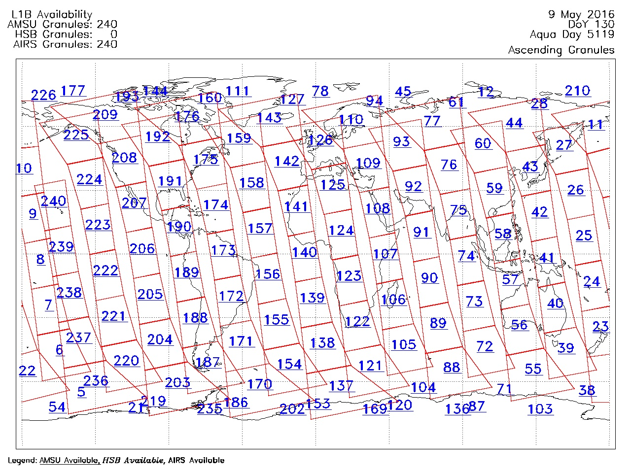
AIRS/Aqua Granule map product V005 (AIRXAMAP) at GES DISC
National Aeronautics and Space Administration —
The Atmospheric Infrared Sounder (AIRS) is a grating spectrometer (R = 1200) aboard the second Earth Observing System (EOS) polar-orbiting platform, EOS Aqua. In... -
Federal
TIGER/Line Shapefile, Current, State, New Jersey, 2020 Census Block
U.S. Census Bureau, Department of Commerce —
This resource is a member of a series. The TIGER/Line shapefiles and related database files (.dbf) are an extract of selected geographic and cartographic information... -
Federal
National Coral Reef Monitoring Program: Benthic complexity and urchin abundance at climate stations of American Samoa
National Oceanic and Atmospheric Administration, Department of Commerce —
The datasets within this collection contain benthic complexity and urchin abundance data gathered as part of NOAA's ongoing National Coral Reef Monitoring Program... -
Federal
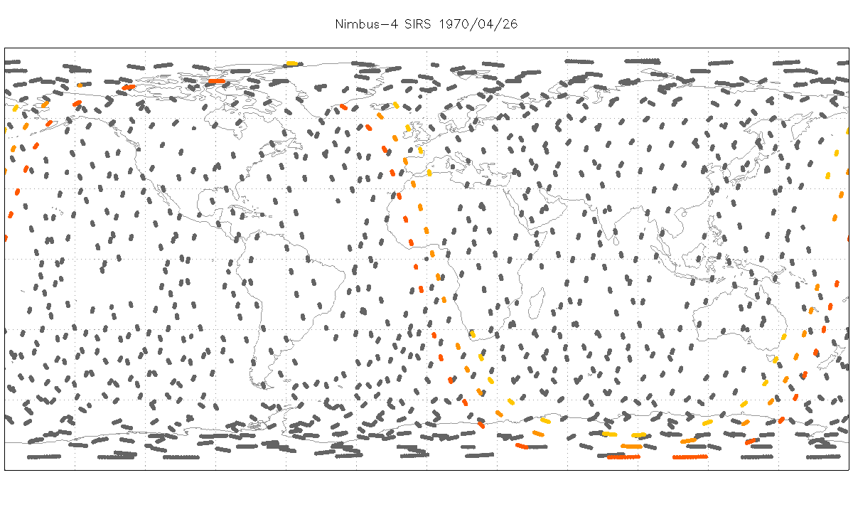
SIRS/Nimbus-4 Level 1 Radiance Data V001 (SIRSN4L1) at GES DISC
National Aeronautics and Space Administration —
SIRSN4L1 is the Nimbus-4 Satellite Infrared Spectrometer (SIRS) Level 1 Radiance Data product. SIRS measured infrared radiation (11 to 36 micrometers) emitted from... -
Federal
TIGER/Line Shapefile, 2021, State, Utah, 2020 Census Blocks
U.S. Census Bureau, Department of Commerce —
The TIGER/Line shapefiles and related database files (.dbf) are an extract of selected geographic and cartographic information from the U.S. Census Bureau's Master... -
Federal
Hierarchically nested and biologically relevant monitoring frameworks for Greater Sage-grouse, 2019, Nevada and Wyoming, Interim
Department of the Interior —
We developed a hierarchical clustering approach that identifies biologically relevant landscape units that can 1) be used as a long-term population monitoring... -
Federal
MODFLOW-NWT model used to evaluate effects of complexity on head and flow calibration in the Fox-Wolf-Peshtigo watersheds, Wisconsin: U.S. Geological Survey data release.
Department of the Interior —
This data release contains three groundwater-flow models of northeastern Wisconsin, USA, that were developed with differing levels of complexity to provide a...

Official websites use .gov
A
.gov website belongs to an official government
organization in the United States.
Secure .gov websites use HTTPS
A
lock (
) or https:// means you’ve safely connected to
the .gov website. Share sensitive information only on official,
secure websites.