
-
Federal
FIREX-AQ Remotely Sensed Trace Gas Data
National Aeronautics and Space Administration —
FIREXAQ_TraceGas_AircraftRemoteSensing_DC8_Data are remotely sensed trace gas measurements conducted onboard the DC8 aircraft during FIREX-AQ. This product features... -
Federal
Trends in Global Freshwater Availability from the Gravity Recovery and Climate Experiment (GRACE)
National Aeronautics and Space Administration —
The Trends in Global Freshwater Availability from the Gravity Recovery and Climate Experiment (GRACE), 2002-2016, is a global gridded data set at a spatial resolution... -
Federal
MEaSUREs Greenland Ice Mapping Project (GrIMP) Digital Elevation Model from GeoEye and WorldView Imagery V002
National Aeronautics and Space Administration —
This data set consists of an enhanced resolution digital elevation model (DEM) for the Greenland Ice Sheet, derived from sub-meter resolution, panchromatic... -
Federal
SWOT Level 2 KaRIn Low Rate Sea Surface Height Data Product - WindWave, Version 2.0
National Aeronautics and Space Administration —
The SWOT Level 2 KaRIn Low Rate Sea Surface Height Windwave Data Product from the Surface Water Ocean Topography (SWOT) mission provides global sea surface height and... -
Federal
SnowEx23 Airborne Lidar Scans Raw V001
National Aeronautics and Space Administration —
This data set provides raw lidar data from two regions of Alaska, USA collected as part of the NASA SnowEx 2023 field campaign. The study sites include a boreal... -
Federal
SWOT Level 2 KaRIn Low Rate Sea Surface Height Data Product - Unsmoothed, Version 2.0
National Aeronautics and Space Administration —
The SWOT Level 2 KaRIn Low Rate Sea Surface Height Unsmoothed Data Product from the Surface Water Ocean Topography (SWOT) mission provides global sea surface height... -
Federal
MEaSUREs ITS_LIVE Antarctic Quarterly 1920 m Ice Shelf Height Change and Basal Melt Rates, 1992-2017 V001
National Aeronautics and Space Administration —
This ITS_LIVE data set, part of the Making Earth System Data Records for Use in Research Environments (MEaSUREs) Program, includes quarterly estimates of Antarctic... -
Federal
Sentinel-5P TROPOMI Aerosol Layer Height 1-Orbit L2 7km x 3.5km V1 (S5P_L2__AER_LH) at GES DISC
National Aeronautics and Space Administration —
Starting from August 6th in 2019, Sentinel-5P TROPOMI along-track high spatial resolution (~5.5km at nadir) has been implemented. For data after August 6th of 2019,... -
Federal
OMI/Aura Ozone (O3) Total Column 1-Orbit L2 Swath 13x24 km V003 NRT
National Aeronautics and Space Administration —
The OMI/Aura Level-2 Total Column Ozone Data Product OMTO3 Near Real Time data is made available from the OMI SIPS NASA for the public access. The Ozone Monitoring... -
Federal
ATLAS/ICESat-2 L3A Land and Vegetation Height Quick Look V006
National Aeronautics and Space Administration —
ATL08QL is the quick look version of ATL08. Once final ATL08 files are available the corresponding ATL08QL files will be removed. ATL08 contains along-track heights... -
Federal
SnowEx20-21 QSI Lidar Snow Depth 0.5m UTM Grid V001
National Aeronautics and Space Administration —
This data set is part of the SnowEx 2020 and SnowEx 2021 campaigns and provides snow depth values at a 0.5 m spatial resolution, derived from point cloud digital... -
Federal
ATLAS/ICESat-2 L2A Global Geolocated Photon Data V006
National Aeronautics and Space Administration —
This data set (ATL03) contains height above the WGS 84 ellipsoid (ITRF2014 reference frame), latitude, longitude, and time for all photons downlinked by the Advanced... -
Federal
TOVS GLA DAILY GRIDS from NOAA-10 V01 (TOVSADNG) at GES DISC
National Aeronautics and Space Administration —
This dataset (TOVSADNG) contains the TIROS Operational Vertical Sounder (TOVS) level 3 geophysical parameters derived using data from NOAA-10 and the physical... -
Federal
SnowEx23 Airborne Lidar-Derived 0.5M Snow Depth and Canopy Height V001
National Aeronautics and Space Administration —
This data set provides digital terrain models, snow depth, and canopy height, acquired by a scanning lidar system and derived from Point Cloud Digital Terrain Models... -
Federal
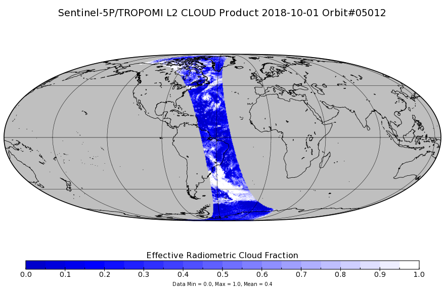
Sentinel-5P TROPOMI Cloud 1-Orbit L2 7km x 3.5km V1 (S5P_L2__CLOUD_) at GES DISC
National Aeronautics and Space Administration —
Starting from August 6th in 2019, Sentinel-5P TROPOMI along-track high spatial resolution (~5.5km at nadir) has been implemented. Starting from July 13th in 2020,... -
Federal
GOES-R PLT Cloud Physics LiDAR (CPL) V1
National Aeronautics and Space Administration —
The GOES-R PLT Cloud Physics Lidar (CPL) dataset consists of backscatter coefficient, lidar depolarization ratio, layer top/base height, layer type, particulate... -
Federal
ICESat-2 L4 Grounding Zone for Antarctic Ice Shelves V001
National Aeronautics and Space Administration —
This data set provides an Antarctic ice shelf grounding zone geolocation product, including the landward limit of ice flexure caused by ocean tidal movement (Point... -
Federal
OMI/Aura Cloud Pressure and Fraction (Raman Scattering) 1-Orbit L2 Swath 13x24 km V003 NRT
National Aeronautics and Space Administration —
The reprocessed Aura OMI Version 003 Level 2 Cloud Data Product OMCLDRR is made available (in April 2012) to the public from the NASA Goddard Earth Sciences Data and...

Official websites use .gov
A
.gov website belongs to an official government
organization in the United States.
Secure .gov websites use HTTPS
A
lock (
) or https:// means you’ve safely connected to
the .gov website. Share sensitive information only on official,
secure websites.