
-
Federal
ADVANCED MICROWAVE SOUNDING UNIT-A (AMSU-A) SWATH FROM NOAA-16 V1
National Aeronautics and Space Administration —
AMSU-A, the Advanced Microwave Sounding Unit, is a 15-channel passive microwave radiometer used to profile atmospheric temperature and moisture from the earth's... -
Federal
SEDIMENT ANALYSIS NETWORK FOR DECISION SUPPORT (SANDS) LANDSAT GEOTIFF V1
National Aeronautics and Space Administration —
The Sediment Analysis Network for Decision Support (SANDS) Landsat Geotiff dataset includes images for sediment redistribution after a hurricane on the coast of the... -
Federal
GPM GROUND VALIDATION DUAL-FREQUENCY DUAL-POLARIZED DOPPLER RADAR (D3R) GCPEX V1
National Aeronautics and Space Administration —
The GPM Ground Validation Dual-frequency Dual-polarized Doppler Radar (D3R) GCPEx and IFloodS data sets contain radar reflectivity and doppler velocity measurements.... -
Federal
NAMMA SMART-COMMIT MOBILE LABORATORIES V1
National Aeronautics and Space Administration —
The NAMMA SMART-COMMIT Mobile Laboratories dataset consists of data obtained from a suite of in situ and remote sensing instruments which measure parameters that... -
Federal
NAMMA SENEGAL RADIOSONDE AND TOWER FLUX DATA V1
National Aeronautics and Space Administration —
The NAMMA Senegal Radiosonde and Tower Flux data includes measurements of humidity, wind speed/direction and velocity. Additionally, the flux data includes... -
Federal
KIWX NEXRAD IMPACTS V1
National Aeronautics and Space Administration —
The KIWX NEXRAD IMPACTS dataset consists of Next Generation Weather Radar (NEXRAD) Level II surveillance data that were collected at 31 NEXRAD sites from January 1 to... -
Federal
KPBZ NEXRAD IMPACTS V1
National Aeronautics and Space Administration —
The KPBZ NEXRAD IMPACTS dataset consists of Next Generation Weather Radar (NEXRAD) Level II surveillance data that were collected at 31 NEXRAD sites from January 1 to... -
Federal
AMSU/MSU Lowtroposphere Day/Month Temperature Anomalies and Annual Cycle V6
National Aeronautics and Space Administration —
The AMSU/MSU Lowtroposphere Day/Month Temperature Anomalies and Annual Cycle V6 dataset consists of temperature anomalies and annual cycle temperatures derived from... -
Federal
ADVANCED MICROWAVE SOUNDING UNIT-A (AMSU-A) SWATH FROM NOAA-15 V1
National Aeronautics and Space Administration —
AMSU-A, the Advanced Microwave Sounding Unit, is a 15-channel passive microwave radiometer used to profile atmospheric temperature and moisture from the earth's... -
Federal
GPM Ground Validation Doppler on Wheels (DOW) OLYMPEX V2
National Aeronautics and Space Administration —
The GPM Ground Validation Doppler on Wheels (DOW) OLYMPEX V2 dataset was obtained by a dual-polarization and dual-frequency X-band mobile radar operated by the Center... -
Federal
GPM GROUND VALIDATION NOAA S-BAND PROFILER RAW DATA SPC FORMAT MC3E V1
National Aeronautics and Space Administration —
The GPM Ground Validation NOAA S-Band Profiler Raw Data SPC Format MC3E dataset is the S-band Profiler Raw dataset was saved in Vaisala SPC format. The numeric values... -
Federal
SBU Parsivel IMPACTS V1
National Aeronautics and Space Administration —
The SBU Parsivel IMPACTS dataset consists of precipitation data collected by the Parsivel disdrometer in support of the Investigation of Microphysics and... -
Federal
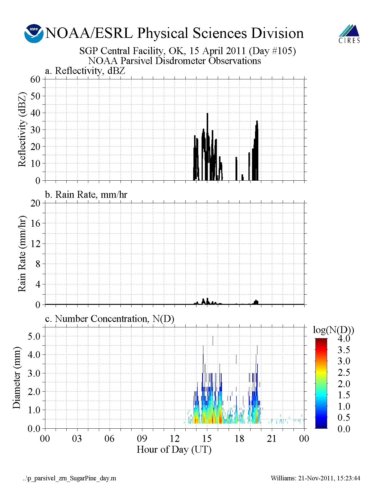
GPM GROUND VALIDATION NOAA PARSIVEL MC3E V1
National Aeronautics and Space Administration —
The GPM Ground Validation NOAA Parsivel MC3E dataset was collected in central Oklahoma during the Midlatitude Continental Convective Clouds Experiment (MC3E) from... -
Federal
GPM Ground Validation Duke Soil Moisture IPHEx V1
National Aeronautics and Space Administration —
The GPM Ground Validation Duke Soil Moisture dataset consists of a collection of various data obtained during the Integrated Precipitation and Hydrology Experiment... -
Federal
GPM GROUND VALIDATION NASA ER-2 NAVIGATION DATA MC3E V1
National Aeronautics and Space Administration —
The GPM Ground Validation NASA ER-2 Navigation Data MC3E dataset contains information recorded by an on board navigation recorder (NavRec). In addition to typical... -
Federal
GPM GROUND VALIDATION CONICAL SCANNING MILLIMETER-WAVE IMAGING RADIOMETER (COSMIR) MC3E V1
National Aeronautics and Space Administration —
The GPM Ground Validation Conical Scanning Millimeter-wave Imaging Radiometer (COSMIR) MC3E dataset used the Conical Scanning Millimeter-wave Imaging Radiometer...

Official websites use .gov
A
.gov website belongs to an official government
organization in the United States.
Secure .gov websites use HTTPS
A
lock (
) or https:// means you’ve safely connected to
the .gov website. Share sensitive information only on official,
secure websites.