
-
National Oceanic and Atmospheric Administration (NOAA) 14 recent views
NOAA measurements from 1996 to 1999 along the Eastern US coastal region. -
TRMM (TMPA) Rainfall Estimate L3 3 hour 0.25 degree x 0.25 degree V7 (TRMM_3B42) at GES DISC 13 recent views
TMPA (3B42) dataset have been discontinued as of Dec. 31, 2019, and users are strongly encouraged to shift to the successor IMERG dataset (doi: 10.5067/GPM/IMERG/3B-HH/06). This... -
ASTEROID ABSOLUTE MAGNITUDES V3.0 13 recent views
IAU-adopted magnitude parameters (absolute V magnitude and slope parameter) for all numbered asteroids. -
U.S. EPA National Priorities List (NPL) Sites Point Data with CIESIN Modifications, Version 2 13 recent views
The U.S. Environmental Protection Agency (EPA) National Priorities List (NPL) Sites Point Data with CIESIN Modifications, Version 2 is a modified version of the 2014 EPA NPL... -
U.S. Geological Survey Aerial Photography 13 recent views
The U.S. Geological Survey (USGS) Aerial Photography data set includes over 2.5 million film transparencies. Beginning in 1937, photographs were acquired for mapping purposes at... -
Fireball And Bolide Reports 13 recent views
Fireballs and bolides are astronomical terms for exceptionally bright meteors that are spectacular enough to to be seen over a very wide area. The following table provides a... -
World Glacier Inventory, Version 1 13 recent views
The World Glacier Inventory (WGI) contains information for over 130,000 glaciers, or about 85% of the total estimated number of glaciers. Inventory parameters include geographic... -
Black Hole-Black Hole Waveform Catalog 13 recent views
Numerically-generated gravitational waveforms for binary black holes. -
National Land Cover Data set 1992 (NLCD1992) 13 recent views
National Land Cover Dataset 1992 (NLCD1992) is a 21-class land cover classification scheme that has been applied consistently across the lower 48 United States at a spatial... -
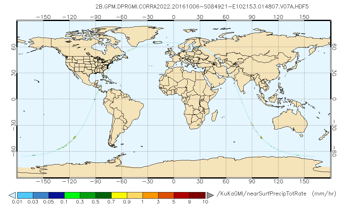
GPM DPR and GMI Combined Precipitation L2B 1.5 hours 5 km V07 (GPM_2BCMB) at GES DISC 13 recent views
Version 07 is the current version of the data set. Older versions will no longer be available and have been superseded by Version 07. This is a precipitation product created... -
Black Sea High Resolution SST L4 Analysis 0.0625 deg Resolution NGDA 12 recent views
CNR MED Sea Surface Temperature provides daily gap-free maps (L4) at 0.0625 deg. x 0.0625 deg. horizontal resolution over the Black Sea. The data are obtained from infra-red... -
Global Multi-resolution Terrain Elevation Data 2010 (GMTED2010) 12 recent views
The USGS and the NGA have collaborated on the development of a notably enhanced global elevation model named the GMTED2010 that replaces GTOPO30 as the elevation dataset of... -
My NASA Data 12 recent views
MY NASA DATA (MND) is a tool that allows anyone to make use of satellite data that was previously unavailable.Through the use of MND’s Live Access Server (LAS) a multitude of... -
NACP Forest Age Maps at 1-km Resolution for Canada (2004) and the U.S.A. (2006) 11 recent views
This data set provides forest age map products at 1-km resolution for Canada and the United States (U.S.A.). These continental forest age maps were compiled from forest... -
GLDAS Noah Land Surface Model L4 monthly 0.25 x 0.25 degree V2.1 (GLDAS_NOAH025_M) at GES DISC 11 recent views
NASA Global Land Data Assimilation System Version 2 (GLDAS-2) has three components: GLDAS-2.0, GLDAS-2.1, and GLDAS-2.2. GLDAS-2.0 is forced entirely with the Princeton... -
CALIPSO Lidar Level 2 Cloud Profile, V4-20 11 recent views
CAL_LID_L2_05kmCPro-Standard-V4-20 is the Cloud-Aerosol Lidar and Infrared Pathfinder Satellite Observations (CALIPSO) Lidar Level 2 Cloud Profile, Version 4-20 data product.... -
Randomized and Recommissioned Battery Dataset 11 recent views
An accelerated Life Testing Dataset for Lithium-Ion Batteries with Constant and Variable Loading Conditions We present an accelerated Li-ion battery life cycle dataset focused... -
Poverty Mapping Project: Global Subnational Prevalence of Child Malnutrition 11 recent views
The Poverty Mapping Project: Global Subnational Prevalence of Child Malnutrition data set consists of estimates of the percentage of children with weight-for-age z-scores that...

Official websites use .gov
A
.gov website belongs to an official government
organization in the United States.
Secure .gov websites use HTTPS
A
lock (
) or https:// means you’ve safely connected to
the .gov website. Share sensitive information only on official,
secure websites.