
-
Federal
NOAA NEXt-Generation RADar (NEXRAD) Products NGDA 64 recent views
National Oceanic and Atmospheric Administration, Department of Commerce —
This dataset consists of Level III weather radar products collected from Next-Generation Radar (NEXRAD) stations located in the contiguous United States, Alaska,... -
Federal
NOAA Next Generation Radar (NEXRAD) Level 2 Base Data 27 recent views
National Oceanic and Atmospheric Administration, Department of Commerce —
This dataset consists of Level II weather radar data collected from Next-Generation Radar (NEXRAD) stations located in the contiguous United States, Alaska, Hawaii,... -
Federal
AIS Vessel Tracks 2022 20 recent views
National Oceanic and Atmospheric Administration, Department of Commerce —
A vessel track shows the location and characteristics of commercial and recreational boats as a sequence of positions transmitted by an Automatic Identification... -
Federal
AIS Vessel Tracks 2021 19 recent views
National Oceanic and Atmospheric Administration, Department of Commerce —
A vessel track shows the location and characteristics of commercial and recreational boats as a sequence of positions transmitted by an Automatic Identification... -
Federal
NOAA Next Generation Radar (NEXRAD) Level 3 Products 15 recent views
National Oceanic and Atmospheric Administration, Department of Commerce —
This dataset consists of Level 3 weather radar products collected from Next-Generation Radar (NEXRAD) stations located in the contiguous United States, Alaska,... -
Federal
Shuttle Radar Topography Mission (SRTM) Images 13 recent views
National Aeronautics and Space Administration —
Culminating more than four years of processing data, NASA and the National Geospatial-Intelligence Agency (NGA) have completed Earth's most extensive global... -
County
Loudoun Telecom Towers 11 recent views
Loudoun County, Virginia —
More MetadataTelecommunication is used to show the existing telecommunication antenna sites in Loudoun County. The coverage includes antennas mounted on buildings as... -
Federal
Sea turtle acoustic and radio telemetry data in the Atlantic Ocean from 2013-2014 (NCEI Accession 0160089)
National Oceanic and Atmospheric Administration, Department of Commerce —
This data set contains acoustic tag readings that were attached to sea turtles captured in various fishing gears. These sea turtles were either actively or passively... -
Federal
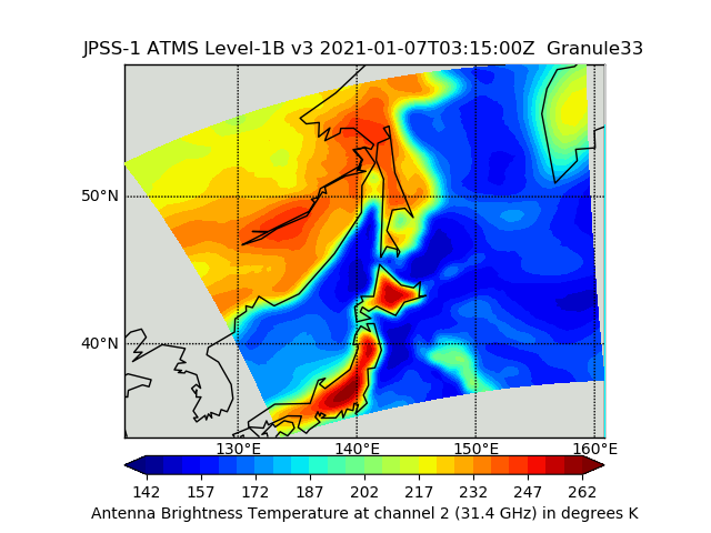
JPSS-1 ATMS Level 1B Brightness Temperature V3 (SNDRJ1ATMSL1B) at GES DISC
National Aeronautics and Space Administration —
The Advanced Technology Microwave Sounder (ATMS) Level 1B data files contain brightness temperature measurements along with ancillary spacecraft, instrument, and... -
Federal
Behavior of female adult Pacific lamprey (Entosphenus tridentatus) exposed to natural and synthesized odors
Department of the Interior —
We investigated the behavioral response of female Pacific lamprey to three odors and to differences in water flow. Adult lamprey were challenged with: 1) washings... -
Federal
Raw ground-penetrating radar data, Edwin B. Forsythe National Wildlife Refuge, New Jersey, 2014-15
Department of the Interior —
This dataset contains 10 raw common-offset ground-penetrating radar (GPR) profiles collected at 7 locations in the Edwin B. Forsythe National Wildlife Refuge,... -
Federal
Shuttle Radar Topography Mission 1-arc second Global
National Aeronautics and Space Administration —
The Shuttle Radar Topography Mission (SRTM) was flown aboard the space shuttle Endeavour February 11-22, 2000. The National Aeronautics and Space Administration... -
Federal
Bathymetric measurements of Little Holland Tract, Sacramento-San Joaquin Delta, California, 2015, from personal watercraft
Department of the Interior —
Bathymetric data were collected by the U.S. Geological Survey (USGS) in 2015 for Little Holland Tract in the Sacramento-San Joaquin River Delta, California. The data... -
Federal
Raw HYPACK navigation logs (text) collected by the U.S. Geological Survey - Woods Hole Coastal and Marine Science Center offshore of the Elizabeth Islands, MA, 2010
Department of the Interior —
These data were collected under a cooperative agreement between the Massachusetts Office of Coastal Zone Management (CZM) and the U.S. Geological Survey (USGS),... -
Federal
TRMM Microwave Imager Calibrated Radiances L1B 1.5 hours V7 (TRMM_1B11) at GES DISC
National Aeronautics and Space Administration —
This dataset contains TRMM Micrwave Imager (TMI) L1B calibrated radiances in terms of Brightness Temperatures. The TMI calibration algorithm (1B11) converts the... -
Federal
First ISCCP Regional Experiment (FIRE) Marine Stratocumulus Microwave Radiometer Data
National Aeronautics and Space Administration —
The First ISCCP Regional Experiments have been designed to improve data products and cloud/radiation parameterizations used in general circulation models (GCMs).... -
Federal
Ground-Based Global Navigation Satellite System (GNSS) Guardian Galileo daily antenna phase centers (24-hour files) from NASA CDDIS
National Aeronautics and Space Administration —
This product contains antenna phase center locations relative to the Galileo satellite's center of mass. The product is generated at JPL's Global Differential GPS... -
Federal
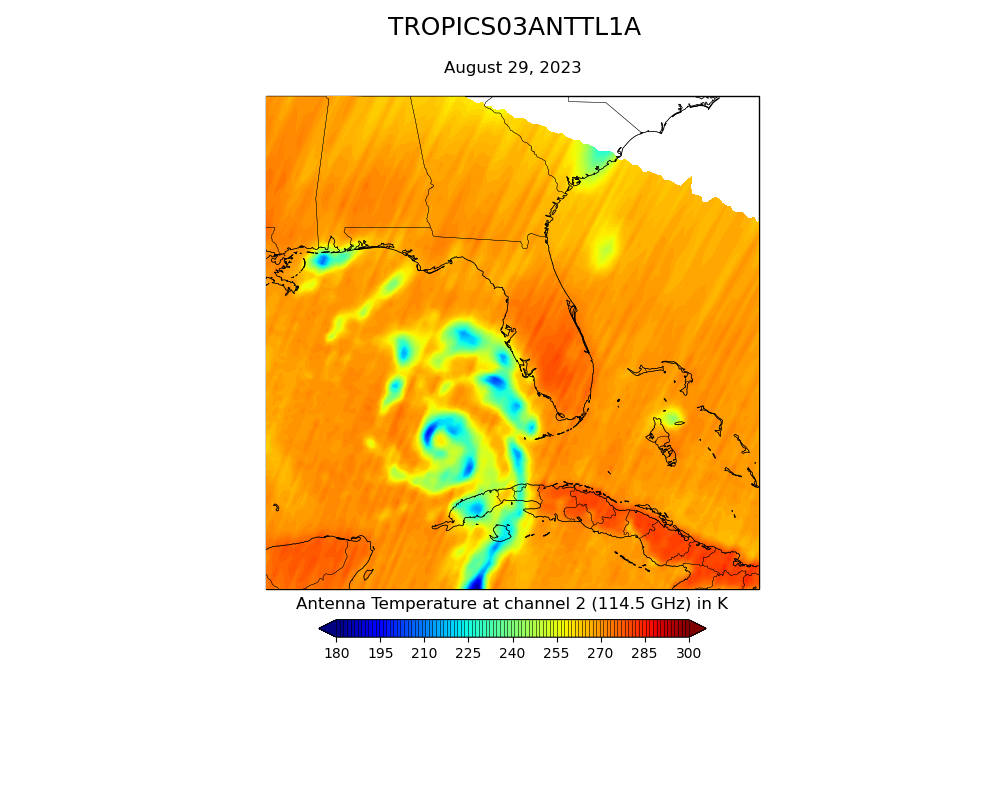
TROPICS03 L1A Orbital Geolocated Native-Resolution Antenna Temperatures V0.2
National Aeronautics and Space Administration —
The "Time-Resolved Observations of Precipitation structure and storm Intensity with a Constellation of Smallsats" (TROPICS) mission has a goal of providing nearly... -
Federal
Bathymetric and Topographic Survey of the Platte River and associated chutes near the Nebraska Army National Guard Camp Ashland Training Site, 2019-2020
Department of the Interior —
These data are the survey results from a five-mile section of the Platte River at, and upstream of the Nebraska Army National Guard Camp Ashland Training Site... -
Federal
PNG formatted images of mulitchannel boomer seismic-reflection profiles collected by the U.S. Geological Survey in Vineyard Sound and Buzzards Bay, MA, 2010.
Department of the Interior —
These data were collected under a cooperative agreement between the Massachusetts Office of Coastal Zone Management (CZM) and the U.S. Geological Survey (USGS),...

Official websites use .gov
A
.gov website belongs to an official government
organization in the United States.
Secure .gov websites use HTTPS
A
lock (
) or https:// means you’ve safely connected to
the .gov website. Share sensitive information only on official,
secure websites.