

GRIP Hurricane and Tropical Storm Forecasts V1
Access & Use Information
Downloads & Resources
-
Google Scholar search resultsHTML
Search results for publications that cite this dataset by its DOI.
-
Download this datasetHTML
Files may be downloaded directly to your workstation from this link
-
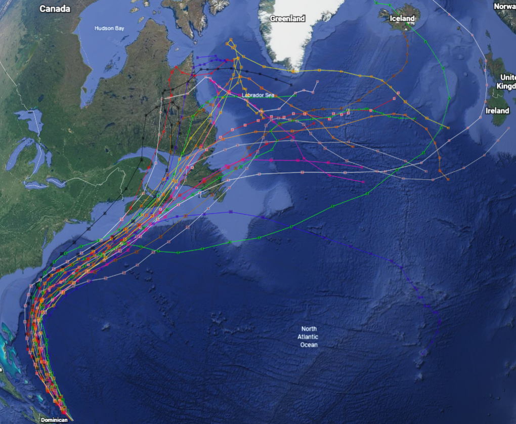
Get a related visualizationPNG
Sample browse image
-
View documentation related to this datasetPDF
Genesis and Rapid Intensification Processes (GRIP) Field Experiment
-
View information related to this datasetHTML
NHC Track and Intensity Models
-
View information related to this datasetHTML
Hurricane Forecast Model Output
-
View documentation related to this datasetPDF
The guide document contains detailed information about the dataset
-
View this dataset's publicationsHTML
NASA's Genesis and Rapid Intensification Processes (GRIP) Field Experiment
-
View this dataset's publicationsHTML
An Evaluation of Tropical Cyclone Genesis Forecasts from Global Numerical Models
-
View this dataset's publicationsHTML
Characteristics of Tropical Easterly Wave Pouches during Tropical Cyclone...
-
View this dataset's publicationsHTML
A dynamically‐based method for forecasting tropical cyclogenesis location in...
-
View this dataset's publicationsHTML
A First Look at the Structure of the Wave Pouch during the 2009 PREDICT–GRIP...
-
The dataset's project home pageHTML
GRIP Field Campaign Project Homepage
-
Get a related visualizationHTML
N/A
-
View documentation related to this datasetHTML
Instructions for citing GHRC data
-
Landing PageLanding Page
Dates
| Metadata Created Date | December 1, 2022 |
|---|---|
| Metadata Updated Date | December 6, 2023 |
Metadata Source
- Data.json Data.json Metadata
Harvested from NASA Data.json
Graphic Preview
Additional Metadata
| Resource Type | Dataset |
|---|---|
| Metadata Created Date | December 1, 2022 |
| Metadata Updated Date | December 6, 2023 |
| Publisher | NASA/MSFC/GHRC |
| Maintainer | |
| Identifier | C1979860341-GHRC_DAAC |
| Data First Published | 2020-02-06 |
| Language | en-US |
| Data Last Modified | 2022-05-31 |
| Category | GRIP (HURRICANE), geospatial |
| Public Access Level | public |
| Bureau Code | 026:00 |
| Metadata Context | https://project-open-data.cio.gov/v1.1/schema/catalog.jsonld |
| Metadata Catalog ID | https://data.nasa.gov/data.json |
| Schema Version | https://project-open-data.cio.gov/v1.1/schema |
| Catalog Describedby | https://project-open-data.cio.gov/v1.1/schema/catalog.json |
| Citation | Goodman, Michael .2020. GRIP Hurricane and Tropical Storm Forecasts indicate subset used. Dataset available online from the NASA Global Hydrometeorology Resource Center DAAC, Huntsville, Alabama, U.S.A. DOI: http://dx.doi.org/10.5067/GRIP/INS/DATA101 |
| Graphic Preview Description | N/A |
| Graphic Preview File | https://search.earthdata.nasa.gov/search?q=gripstorm/browse/ |
| Harvest Object Id | 7d68d3ac-45e5-4a73-939c-9e3a3211f945 |
| Harvest Source Id | 58f92550-7a01-4f00-b1b2-8dc953bd598f |
| Harvest Source Title | NASA Data.json |
| Homepage URL | https://doi.org/10.5067/GRIP/INS/DATA101 |
| Metadata Type | geospatial |
| Old Spatial | -178.5 0.8 0.0 87.6 |
| Program Code | 026:001 |
| Source Datajson Identifier | True |
| Source Hash | 5bfa7ee74dc7bb0ceeca6956259827741b033b9a479802cda4bc2183db94fc85 |
| Source Schema Version | 1.1 |
| Spatial | |
| Temporal | 2010-08-12T00:00:00Z/2010-11-14T00:00:00Z |
Didn't find what you're looking for? Suggest a dataset here.