

409 datasets found for "Centroids"
-
Federal
NOAA GOES-R Series Geostationary Lightning Mapper (GLM) Level 2 Lightning Detection: Events, Groups, and Flashes
National Oceanic and Atmospheric Administration, Department of Commerce —
The Geostationary Lightning Mapper Level 2 Lightning Detection product contains a list of lightning flashes, and their constituent groups and events. The definition... -
Parking Violations Issued in April 2024
District of Columbia —
Parking citation locations in the District of Columbia. The Vision Zero data contained in this layer pertain to parking violations issued by the District of Columbia's... -
Federal
MTBS Wildfire Occurrence NGDA
Department of Agriculture —
The Monitoring Trends in Burn Severity MTBS project assesses the frequency, extent, and magnitude (size and severity) of all large wildland fires (includes wildfire,... -
Federal
Monitoring Trends in Burn Severity Fire Occurrence Locations (Feature Layer) NGDA
Department of Agriculture —
The Monitoring Trends in Burn Severity MTBS project assesses the frequency, extent, and magnitude (size and severity) of all large wildland fires (includes wildfire,... -
Federal
North Pacific Nearshore Sea Surface Temperature (SST) shapefile format (1981-2009)
Department of the Interior —
The Sea Surface Temperature (SST) data of the nearshore region of the North Pacific show temperature ranges in degrees C using points whose locations correspond to... -
Federal
AIRS/Aqua L1B Infrared (IR) geolocated and calibrated radiances V005 (AIRIBRAD) at GES DISC at GES DISC
National Aeronautics and Space Administration —
WARNING: On 2021/09/23 the EOS Aqua executed a Deep Space Maneuver (DSM). In the DSM, the spacecraft is turned such that the normal Earth field of regard is deep... -
Parking Violations Issued in May 2018
District of Columbia —
Parking citation locations in the District of Columbia. The data contained in this layer pertain to parking violations issued by the District of Columbia's... -
Federal
AIRS/Aqua L1B Near Real Time (NRT) Infrared (IR) geolocated and calibrated radiances V005 (AIRIBRAD_NRT) at GES DISC
National Aeronautics and Space Administration —
WARNING: On 2021/09/23 the EOS Aqua executed a Deep Space Maneuver (DSM). In the DSM, the spacecraft is turned such that the normal Earth field of regard is deep... -
Federal
DOE Legacy Management Sites
Department of Energy —
Each point is a representation of an U.S. Department of Energy Office of Legacy Management (LM) site. The coordinates of each site point are either the location of a... -
Federal
Archive of Census Related Products (ACRP): 1990 ZIP Equivalency Files
National Aeronautics and Space Administration —
The 1990 Zip Equivalency Files portion of the Archive of Census Related Products (ACRP) contains population and housing data derived from the U.S. Census Bureau's... -
Federal
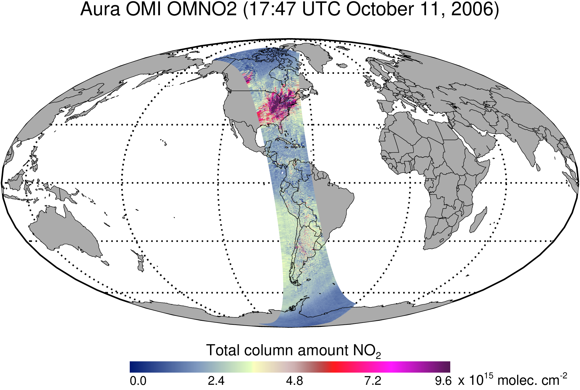
OMI/Aura Nitrogen Dioxide (NO2) Total and Tropospheric Column 1-orbit L2 Swath 13x24 km V003 (OMNO2) at GES DISC
National Aeronautics and Space Administration —
The Version 4.0 Aura Ozone Monitoring Instrument (OMI) Nitrogen Dioxide (NO2) Standard Product (OMNO2) is now available from the NASA Goddard Earth Sciences Data and... -
Federal
Daily and Annual PM2.5, O3, and NO2 Concentrations at ZIP Codes for the Contiguous U.S., 2000-2016, v1.0
National Aeronautics and Space Administration —
The Daily and Annual PM2.5, O3, and NO2 Concentrations at ZIP Codes for the Contiguous U.S., 2000-2016, v1.0 data set contains daily and annual concentration... -
County
Tax Parcels
Lake County, Illinois —
Download In State Plane Projection Here In addition to the Tax Parcel polygons feature class, the hyperlink download above also contains a parcel point data layer... -
Moving Violations Issued in May 2020
District of Columbia —
Moving citation locations in the District of Columbia. The Vision Zero data contained in this layer pertain to moving violations issued by the District of Columbia's... -
Federal
Poverty Mapping Project: Small Area Estimates of Poverty and Inequality
National Aeronautics and Space Administration —
The Poverty Mapping Project: Small Area Estimates of Poverty and Inequality data set consists of consumption-based poverty, inequality and related measures for... -
State
Bedrock Outcrop Polygons Compilation
Vermont Center for Geographic Information —
A compilation of bedrock outcrops as points and/or polygons from 1:62,500 and 1:24,000 geologic mapping by the Vermont Geological Survey, the United States Geological... -
Federal
ABoVE: Lake Growing Season Green Surface Reflectance Trends, AK and Canada, 1984-2019
National Aeronautics and Space Administration —
This dataset provides an annual time series of Landsat green surface reflectance and the derived annual trend during the growing season (June and July) for 472,890... -
Federal
Delta-X: UAVSAR L1 Single Look Complex (SLC) Stack Products, MRD, Louisiana, 2021
National Aeronautics and Space Administration —
This dataset contains UAVSAR Level 1 (L1) Single Look Complex (SLC) stack products for Delta-X flight lines acquired during 2021-03-27 to 2021-04-18 (spring) and... -
Federal
Archive of Census Related Products (ACRP): 1990 Census Block Statistics
National Aeronautics and Space Administration —
The 1990 Census Block Statistics portion of the Archive of Census Related Products (ACRP) contains population and housing data from the U.S. Census Bureau's 1990...
409 datasets found for "Centroids"