
-
Federal
Aircraft Flux-Detrended: Univ. Col. (FIFE)
National Aeronautics and Space Administration —
Detrended boundary layer fluxes recorded on aircraft flights over the Konza -
Federal
Aircraft Flux-Detrended: U of Wy. (FIFE)
National Aeronautics and Space Administration —
Detrended boundary layer fluxes recorded on aircraft flights over the Konza -
Federal
Aircraft Flux-Filtered: U of Wy. (FIFE)
National Aeronautics and Space Administration —
Filtered boundary layer fluxes recorded on aircraft flights over the Konza -
Federal
Aircraft Flux-Detrended: NRCC (FIFE)
National Aeronautics and Space Administration —
Detrended boundary layer fluxes recorded on aircraft flights over the Konza -
Federal
Aircraft Flux-Filtered: NRCC (FIFE)
National Aeronautics and Space Administration —
Filtered boundary layer fluxes recorded on aircraft flights over the Konza -
Federal
MODIS-derived Aggregate, Woody and Herbaceous Leaf Area Index for Africa, 2002-2022 NGDA
National Aeronautics and Space Administration —
This dataset provides leaf area index (LAI) estimates for Sub-Saharan Africa for woody, herbaceous, and aggregate vegetation types. The estimates were derived from... -
Federal
CMS-Flux-NA Fluxes and Aircraft CO2 Co-samples for 2018-2019
National Aeronautics and Space Administration —
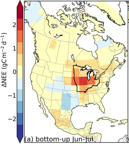
This dataset provides gridded surface-atmosphere CO2 fluxes over North America from April 8 to November 18 during 2018 and 2019. Net ecosystem exchange (NEE) was... -
Federal
BOREAS Follow-On DSP-10 Regridded FPAR and LAI Maps for 1994
National Aeronautics and Space Administration —
Existing TM and AVHRR based landcover maps, AVHRR-FPAR maps, AVHRR-LAI maps, moss cover maps, and a new peatland distribution map were regridded to scales of 2 km, 10... -
Federal
VEMAP 1: U.S. Site Files
National Aeronautics and Space Administration —
An integrated input data set for ecosystem and vegetation modeling for the conterminous United States: Site Files -
Federal
BOREAS Follow-On DSP-10 Reclassified Regridded TM Mosaic Land Cover Maps, 1994
National Aeronautics and Space Administration —
These images were produced by aggregating a reclassified version of the 30-m land cover Thematic Mapper classification by CCRS and are now available at multiple... -
Federal
BOREAS Follow-On DSP-10 Regridded TM Mosaic Land Cover Maps for 1994
National Aeronautics and Space Administration —
Existing 30-m land cover Thematic Mapper classification by CCRS was aggregated and reprocessed and are now available at multiple resolutions (10x5 minutes and 30... -
Federal
BOREAS Follow-On DSP-10 Regridded Land Cover Maps for 1994
National Aeronautics and Space Administration —
These images were produced by aggregating the 1-km land cover classification by Lou Steyaert at multiple resolutions (2 km, 10x5 minutes, and 0.5 degree). These data... -
Federal
BOREAS Follow-On DSP-10 Regridded Moss Cover Maps for 1994
National Aeronautics and Space Administration —
Existing 1-km moss cover classifications were reprocessed and are now available at multiple resolutions (2 km, 10x5 min, and 0.5 degree). These data were regridded... -
Federal
BOREAS Follow-On DSP-10 Regridded NDVI Maps for 1994
National Aeronautics and Space Administration —
These images were produced by averaging the 1-km FASIR-NDVI maps by Jing Chen to a 10' (horizontal) by 5' (vertical) pixel size in a straight latitude/longitude grid.... -
Federal
BOREAS Follow-On HMet-01 Level-2 GOES-8 1996 Shortwave and Longwave Radiation
National Aeronautics and Space Administration —
The BOREAS RSS-14 team collected and processed several Level-1 GOES-7 and GOES-8 image data sets for 1994-1996, and GOES-7 Level-2 for 1994 over the BOREAS study... -
Federal
CMS-Flux-NA Fluxes and Aircraft CO2 Co-samples for 2018-2019
National Aeronautics and Space Administration —
This dataset provides gridded surface-atmosphere CO2 fluxes over North America from April 8 to November 18 during 2018 and 2019. Net ecosystem exchange (NEE) was... -
Federal
BOREAS Follow-On DSP-10 Reclassified Regridded TM Mosaic Land Cover Maps, 1994
National Aeronautics and Space Administration —
These images were produced by aggregating a reclassified version of the 30-m land cover Thematic Mapper classification by CCRS and are now available at multiple... -
Federal
BOREAS Follow-On MOD-01 Regional Daily Averaged Gridded Met. Data, 1994-1996
National Aeronautics and Space Administration —
The Phase 3 gridded data sets provided by HMet-01 on an hourly time step have been converted to averaged daily files by the MOD-01 group to reduce the size and number... -
Federal
BOREAS Follow-On HMet-04 1996-1998 NSA Meteorological Data
National Aeronautics and Space Administration —
As part of the BOREAS Follow-on, an extended period of data collection was supported in the NSA because of the continued efforts at the NSA-OBS site. This data set... -
Federal
BOREAS Follow-On HMet-01 Merged SSM/I and Rain Gauge Precipitation Data
National Aeronautics and Space Administration —
A gridded data set has been assembled over the BOREAS hydro-meteorological study region that combines a precipitation data set based on a rain gauge network with...

Official websites use .gov
A
.gov website belongs to an official government
organization in the United States.
Secure .gov websites use HTTPS
A
lock (
) or https:// means you’ve safely connected to
the .gov website. Share sensitive information only on official,
secure websites.