
-
Federal
Integrated Surface Dataset (Global) 166 recent views
National Oceanic and Atmospheric Administration, Department of Commerce —
The Integrated Surface Dataset (ISD) is composed of worldwide surface weather observations from over 35,000 stations, though the best spatial coverage is evident in... -
Federal
Tides and Currents Map: an interactive map of all CO-OPS stations NGDA 27 recent views
National Oceanic and Atmospheric Administration, Department of Commerce —
This interactive map has many features designed to provide a quick and easy way to find a Center for Operational Oceanographic Products and Services (CO-OPS) station.... -
Federal
NOAA Electronic Navigational Charts (ENC) NGDA 26 recent views
National Oceanic and Atmospheric Administration, Department of Commerce —
The Office of Coast Survey (OCS) has been involved in the development of a NOAA Electronic Navigational Chart (NOAA ENC) suite to support the marine transportation... -
Federal
Sea Level Trends: Sea Level Variations of the United States Derived from National Water Level Observation Network Stations NGDA 25 recent views
National Oceanic and Atmospheric Administration, Department of Commerce —
Water level records are a combination of the fluctuations of the ocean and the vertical land motion at the location of the station. Monthly mean sea level (MSL)... -
Federal
United States Coast Pilot (volume 1 through 9) 18 recent views
National Oceanic and Atmospheric Administration, Department of Commerce —
The United States Coast Pilot is a series of 9 nautical books that cover a wide variety of information important to navigators of U.S. coastal and intercoastal... -
Federal
Monterey Bay National Marine Sanctuary: Sanctuary Integrated Monitoring Network (SIMoN)
National Oceanic and Atmospheric Administration, Department of Commerce —
The Sanctuary Integrated Monitoring Network (SIMoN) is an integrated, long-term program that takes an ecosystem approach to identify and understand changes to the... -
Federal
High Tide Flooding Products from NOAA CO-OPS
National Oceanic and Atmospheric Administration, Department of Commerce —
High tide flooding is the overflow or excess accumulation of water that covers typically dry coastal land and occurs during high tides. As relative sea levels rise,... -
Federal
NCEI/WDS Global Historical Tsunami Database, 2100 BC to Present
National Oceanic and Atmospheric Administration, Department of Commerce —
The Global Historical Tsunami Database provides information on over 2,400 tsunamis from 2100 BC to the present in the the Atlantic, Indian, and Pacific Oceans; and... -
Federal
H11551: NOS Hydrographic Survey , Colvos Passsage and Vicinity, Washington, 2007-04-14
National Oceanic and Atmospheric Administration, Department of Commerce —
The National Oceanic and Atmospheric Administration (NOAA) has the statutory mandate to collect hydrographic data in support of nautical chart compilation for safe... -
Federal
H10616: NOS Hydrographic Survey , Rhode Island Sound Corridor, Rhode Island, 1995-09-29
National Oceanic and Atmospheric Administration, Department of Commerce —
The National Oceanic and Atmospheric Administration (NOAA) has the statutory mandate to collect hydrographic data in support of nautical chart compilation for safe... -
Federal
H11463: NOS Hydrographic Survey , Southwestern Alaska Peninsula, Alaska, 2005-08-18
National Oceanic and Atmospheric Administration, Department of Commerce —
The National Oceanic and Atmospheric Administration (NOAA) has the statutory mandate to collect hydrographic data in support of nautical chart compilation for safe... -
Federal
H10229: NOS Hydrographic Survey , Kelp Bay, Alaska, 1986-10-31
National Oceanic and Atmospheric Administration, Department of Commerce —
The National Oceanic and Atmospheric Administration (NOAA) has the statutory mandate to collect hydrographic data in support of nautical chart compilation for safe... -
Federal
H10749A: NOS Hydrographic Survey , Approaches to Port Everglades, Florida, 1998-06-10
National Oceanic and Atmospheric Administration, Department of Commerce —
The National Oceanic and Atmospheric Administration (NOAA) has the statutory mandate to collect hydrographic data in support of nautical chart compilation for safe... -
Federal
H09995: NOS Hydrographic Survey , Fort McRee to Bayou Chico, Florida, 1983-06-22
National Oceanic and Atmospheric Administration, Department of Commerce —
The National Oceanic and Atmospheric Administration (NOAA) has the statutory mandate to collect hydrographic data in support of nautical chart compilation for safe... -
Federal
NOAA CoastWatch, Sea Surface Height Anomalies from Altimetry, Global, 2017-present, EXPERIMENTAL
National Oceanic and Atmospheric Administration, Department of Commerce —
The altimetry data are from RADS (http://rads.tudelft.nl/rads/rads.shtml), the Radar Altimetry Database System, first developed at Delft University of Technology, now... -
Federal
NOAA Raster Navigational Charts (RNC) NGDA
National Oceanic and Atmospheric Administration, Department of Commerce —
NOAA, National Ocean Service, Office of Coast Survey, Marine Chart Division is responsible to build and maintain a suite of more than 1000 nautical charts that are... -
Federal
H09969: NOS Hydrographic Survey , Off Virginia Coast, Virginia, 1981-10-09
National Oceanic and Atmospheric Administration, Department of Commerce —
The National Oceanic and Atmospheric Administration (NOAA) has the statutory mandate to collect hydrographic data in support of nautical chart compilation for safe... -
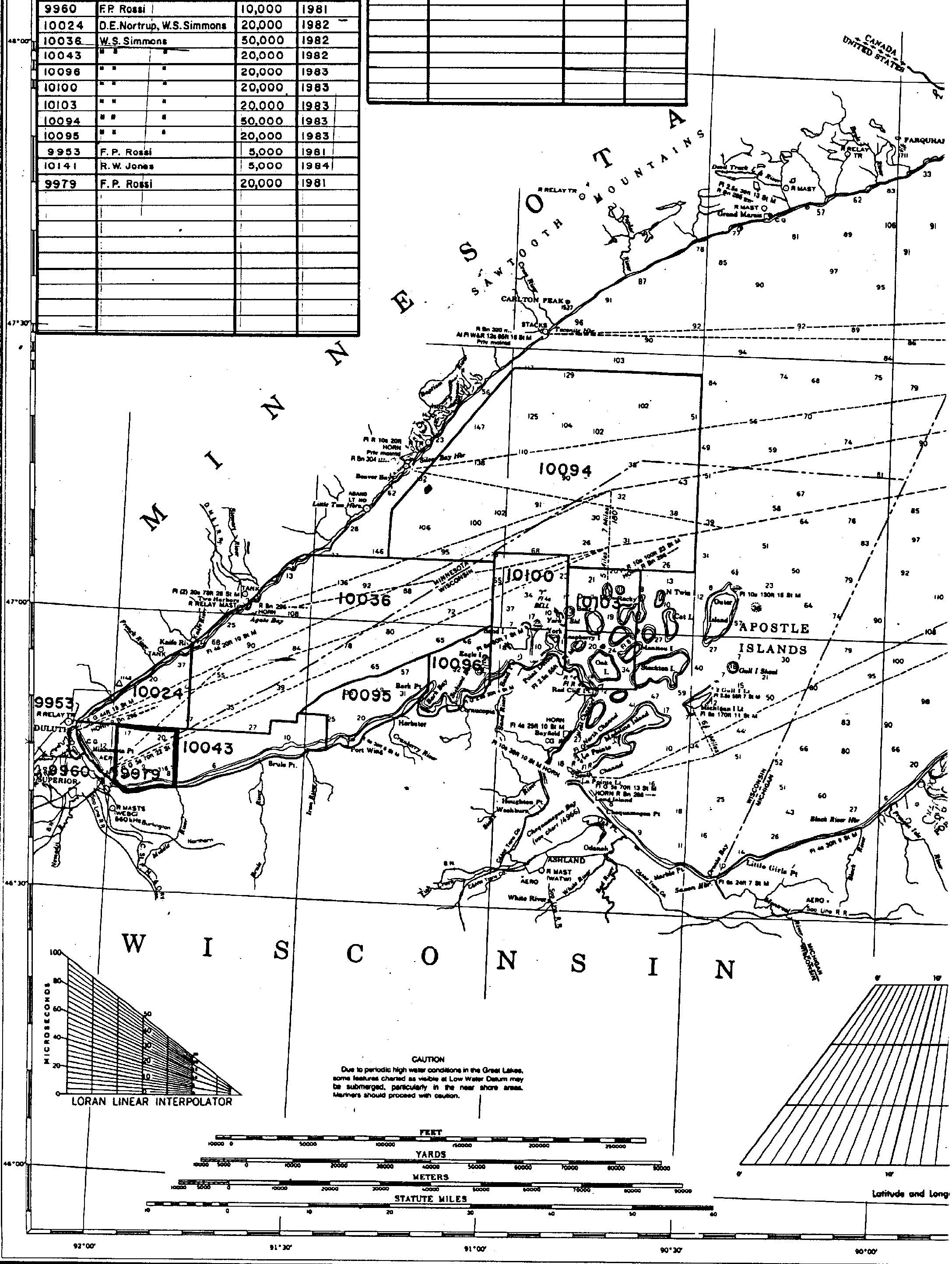
Federal
H09979: NOS Hydrographic Survey , Lake Superior, Wisconsin Minnesota, 1982-09-23
National Oceanic and Atmospheric Administration, Department of Commerce —
The National Oceanic and Atmospheric Administration (NOAA) has the statutory mandate to collect hydrographic data in support of nautical chart compilation for safe... -
Federal
H13614: NOS Hydrographic Survey , 2022-10-03
National Oceanic and Atmospheric Administration, Department of Commerce —
The National Oceanic and Atmospheric Administration (NOAA) has the statutory mandate to collect hydrographic data in support of nautical chart compilation for safe...

Official websites use .gov
A
.gov website belongs to an official government
organization in the United States.
Secure .gov websites use HTTPS
A
lock (
) or https:// means you’ve safely connected to
the .gov website. Share sensitive information only on official,
secure websites.
.jpg)
.jpg)
.jpg)