
-
Federal
Global Hyperspectral Imaging Spectral-library of Agricultural crops for Conterminous United States V001 21 recent views
National Aeronautics and Space Administration —
The Global Hyperspectral Imaging Spectral-library of Agricultural crops (GHISA) is a comprehensive compilation, collation, harmonization, and standardization of... -
Federal
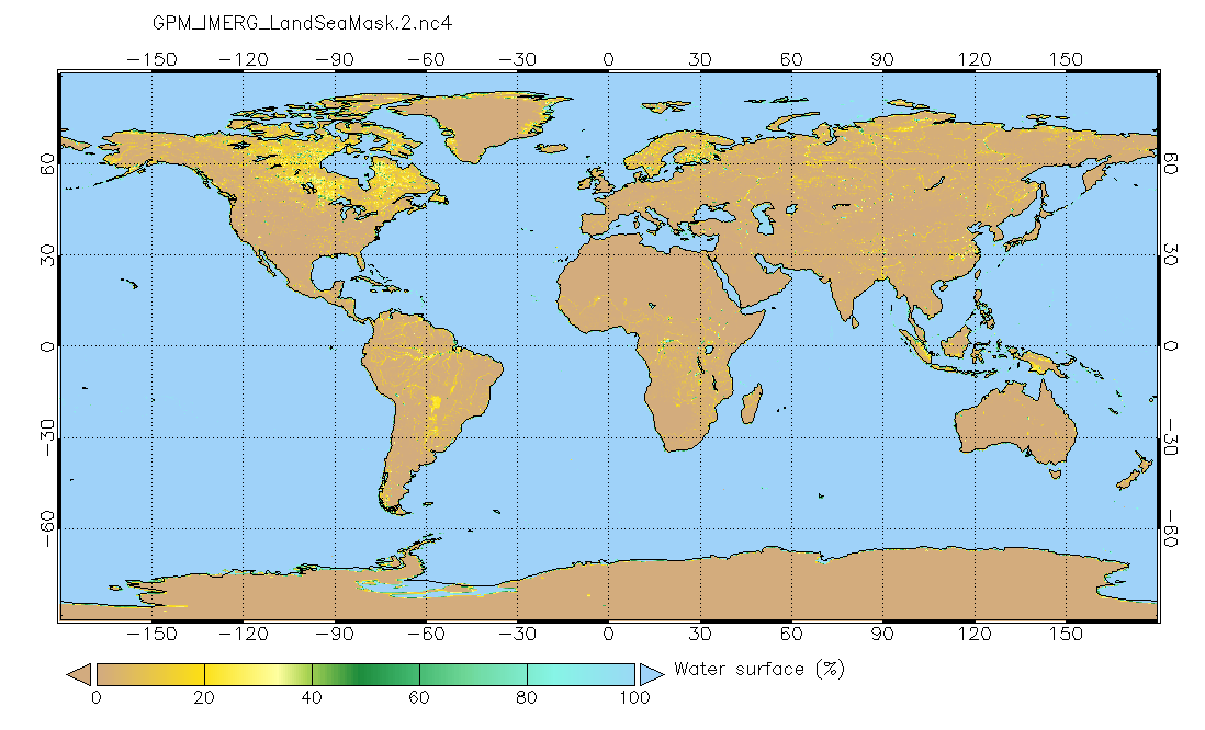
Land/Sea static mask relevant to IMERG precipitation 0.1x0.1 degree V2 (GPM_IMERG_LandSeaMask) at GES DISC
National Aeronautics and Space Administration —
Version 2 is the current version of the data set. Older versions will no longer be available and have been superseded by Version 2. This land sea mask originated from... -
Federal
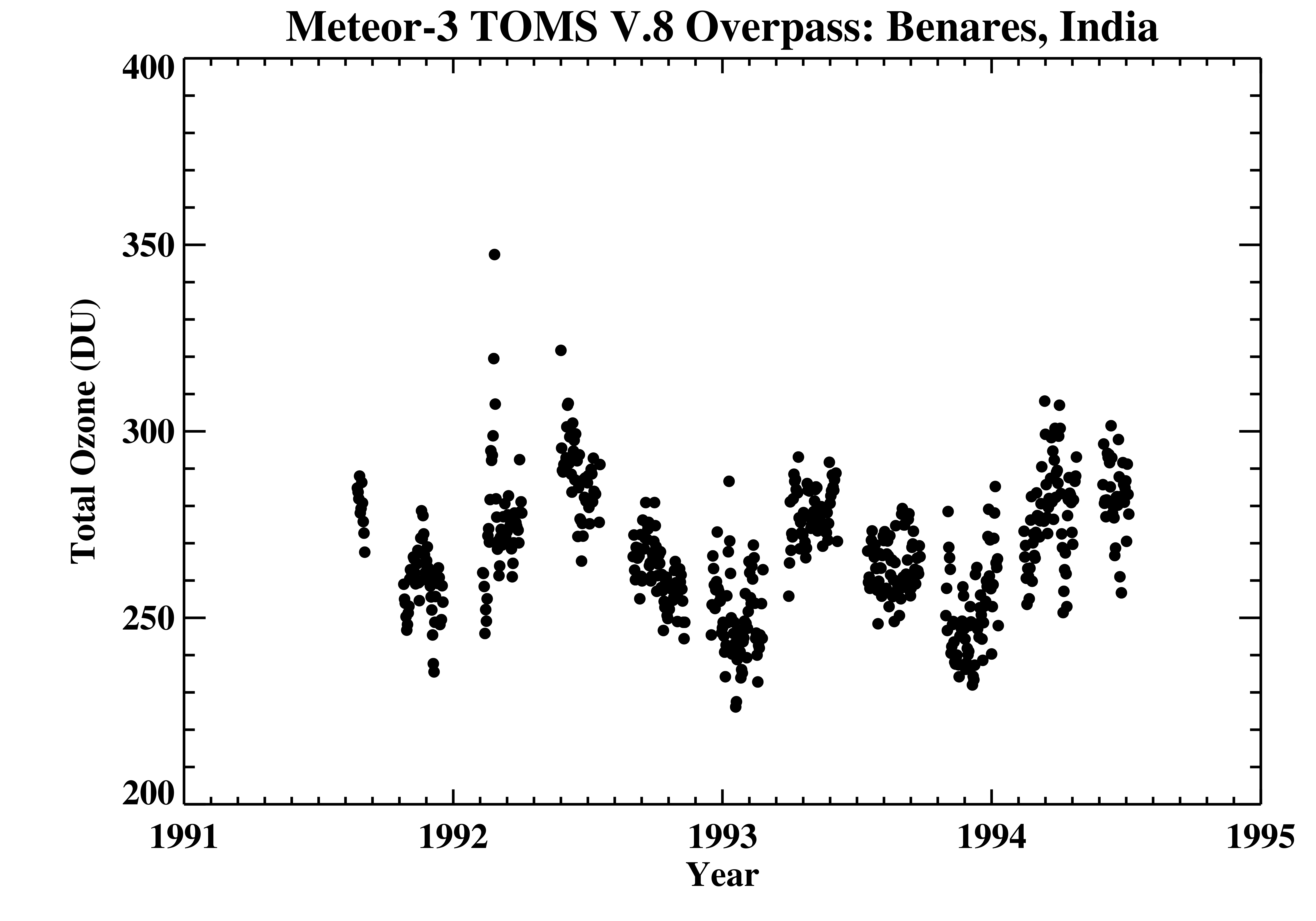
TOMS Meteor-3 Ground Station Overpass Data V008 (TOMSM3OVP) at GES DISC
National Aeronautics and Space Administration —
The Meteor-3 Total Ozone Mapping Spectrometer (TOMS) version 8 daily ground station overpass data product contains total column ozone, UV aerosol index, Lambertian... -
Federal
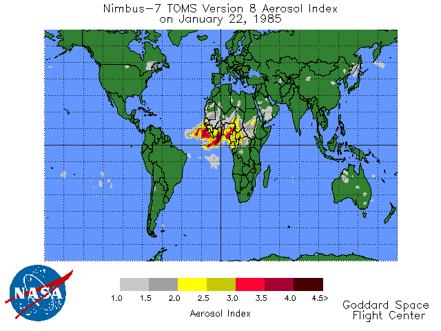
TOMS Earth Probe UV Aerosol Index Daily L3 Global 1 deg x 1.25 deg Lat/Lon Grid V008 (TOMSEPL3daer) at GES DISC
National Aeronautics and Space Administration —
This Earth Probe (EP) Total Ozone Mapping Spectrometer (TOMS) version 8 daily global gridded data product contains UV aerosol index values. The data are mapped to a... -
Federal
Landscape Map of the Russian Arctic Coastal Zone, Version 1
National Aeronautics and Space Administration —
The map consists of ESRI Shapefiles of landscape polygons (in landscape unit types) for the Russian Arctic coastal zone (scale 1:4,000,000). The map is based on a... -
Federal
Daily and Annual PM2.5, O3, and NO2 Concentrations at ZIP Codes for the Contiguous U.S., 2000-2016, v1.0
National Aeronautics and Space Administration —
The Daily and Annual PM2.5, O3, and NO2 Concentrations at ZIP Codes for the Contiguous U.S., 2000-2016, v1.0 data set contains daily and annual concentration... -
Federal
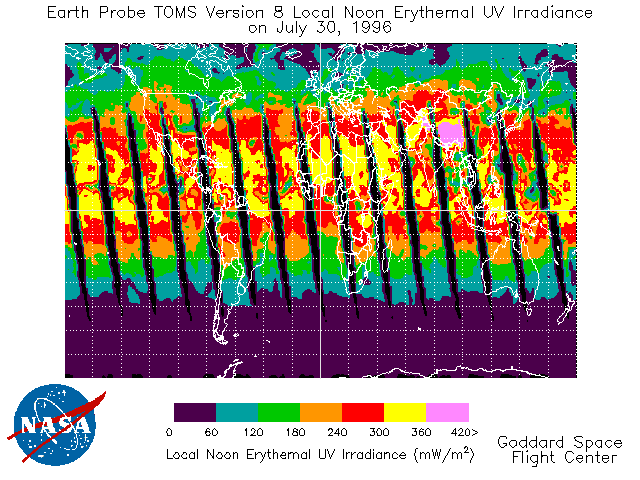
TOMS Earth Probe UV-B Erythemal Local Noon Irradiance Daily L3 Global 1 deg x 1.25 deg Lat/Lon Grid V008 (TOMSEPL3dery) at GES DISC
National Aeronautics and Space Administration —
This Earth Probe (EP) Total Ozone Mapping Spectrometer (TOMS) version 8 daily global gridded data product contains UV-B erythemal local noon irradiance values. The... -
Federal
Archive of Census Related Products (ACRP): 1990 ZIP Equivalency Files
National Aeronautics and Space Administration —
The 1990 Zip Equivalency Files portion of the Archive of Census Related Products (ACRP) contains population and housing data derived from the U.S. Census Bureau's... -
Federal
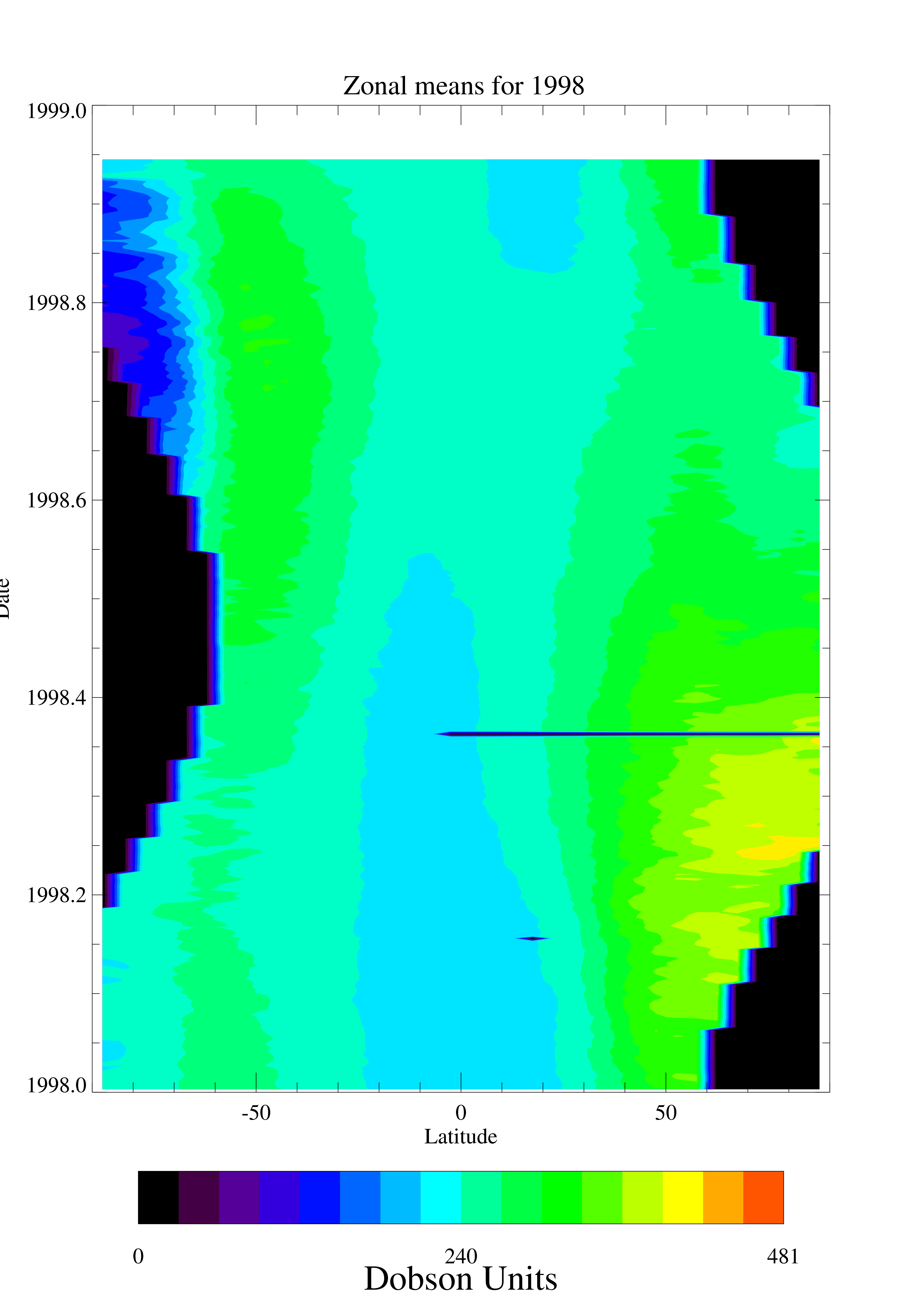
TOMS EP Total Column Ozone Daily and Monthly Zonal Means V008 (TOMSEPL3ztoz) at GES DISC
National Aeronautics and Space Administration —
This Earth Probe (EP) Total Ozone Mapping Spectrometer (TOMS) version 8 daily zonal means data product contains total column ozone values. The data are averaged in 5... -
Federal
CERES Bidirectional Scans Aqua FM4 Edition4
National Aeronautics and Space Administration —
CER_BDS_Aqua-FM4_Edition4 is the Clouds and the Earth's Radiant Energy System (CERES) Bidirectional Scans (BDS) Aqua Flight Model 4 (FM4) Edition 4 data product,... -
Federal
LBA-ECO LC-08 Soil, Vegetation, and Land Cover Maps for Brazil and South America
National Aeronautics and Space Administration —
This data set provides (1) soil maps for Brazil that are digital versions of the MAPA DE SOLOS DO BRASIL (EMBRAPA, 1981) classified at three levels of detail,... -
Federal
LBA-ECO CD-06 Amazon River Basin Land and Stream Drainage Direction Maps
National Aeronautics and Space Administration —
This data set provides high-resolution (~500 m) gridded land and stream drainage direction maps for the Amazon River basin, excluding the Rio Tocantins basin. These... -
Federal
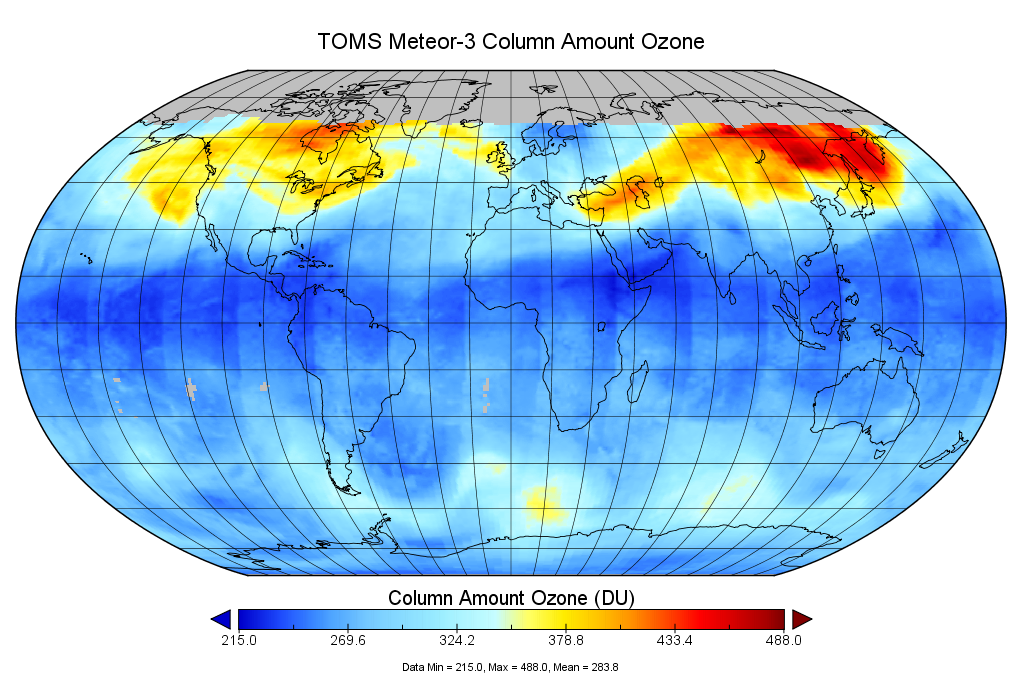
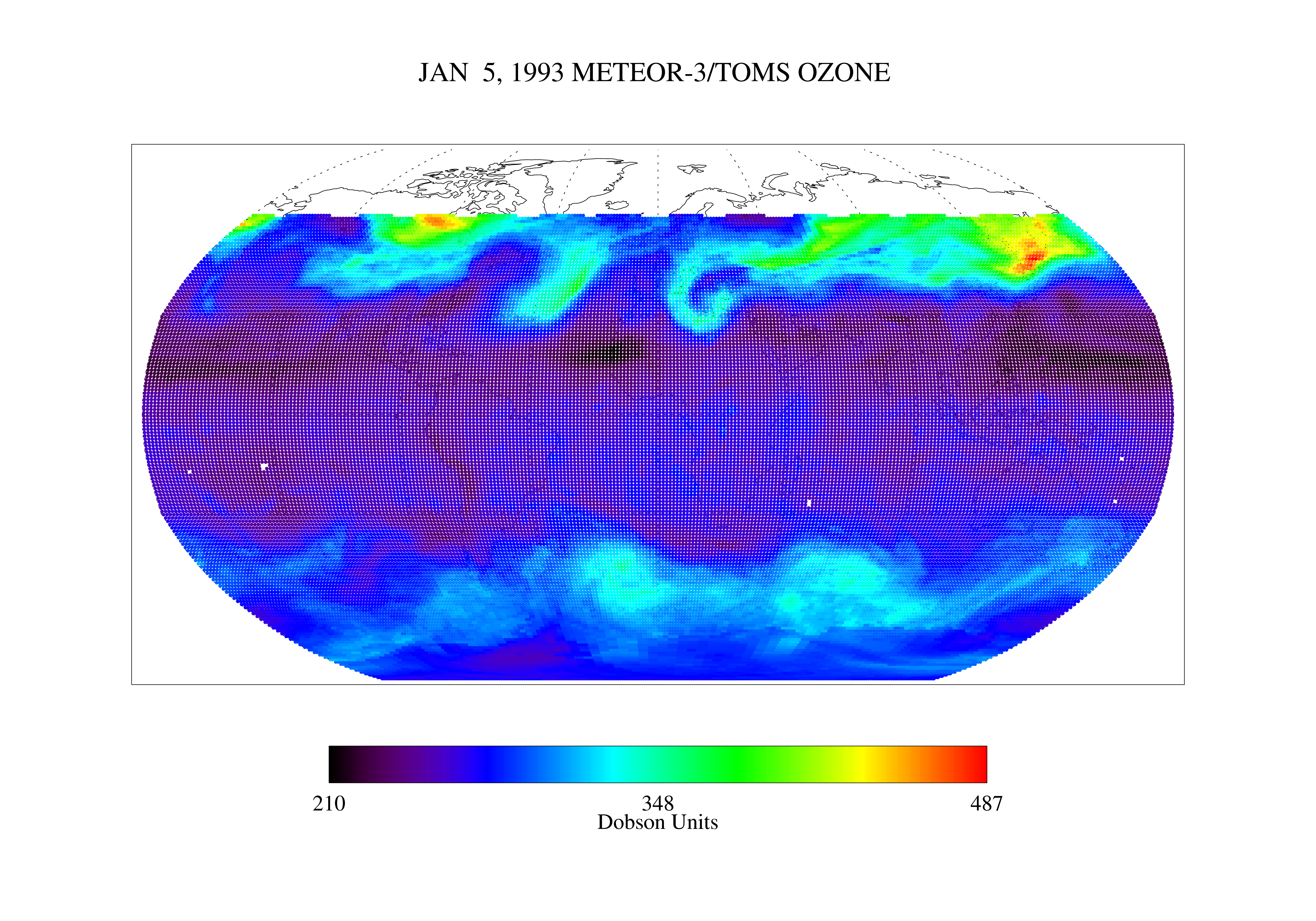
TOMS Meteor-3 Total Ozone UV-Reflectivity Daily L3 Global 1 deg x 1.25 deg V008 (TOMSM3L3) at GES DISC
National Aeronautics and Space Administration —
The Meteor-3 Total Ozone Mapping Spectrometer (TOMS) version 8 daily global gridded data product contains total column ozone, UV aerosol index, Lambertian effective... -
Federal
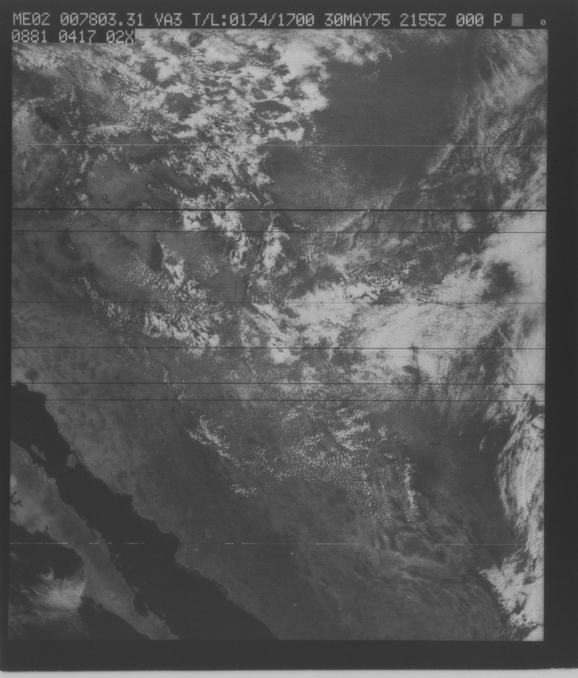
VISSR/SMS-2 Visible Imagery on 70mm Film V001 (VISSRSMS2IMVIS) at GES DISC
National Aeronautics and Space Administration —
VISSRSMS2IMVIS is the Visible Infrared Spin-Scan Radiometer (VISSR) Visible Imagery on 70mm Film data product from the second Synchronous Meteorological Satellite... -
Federal
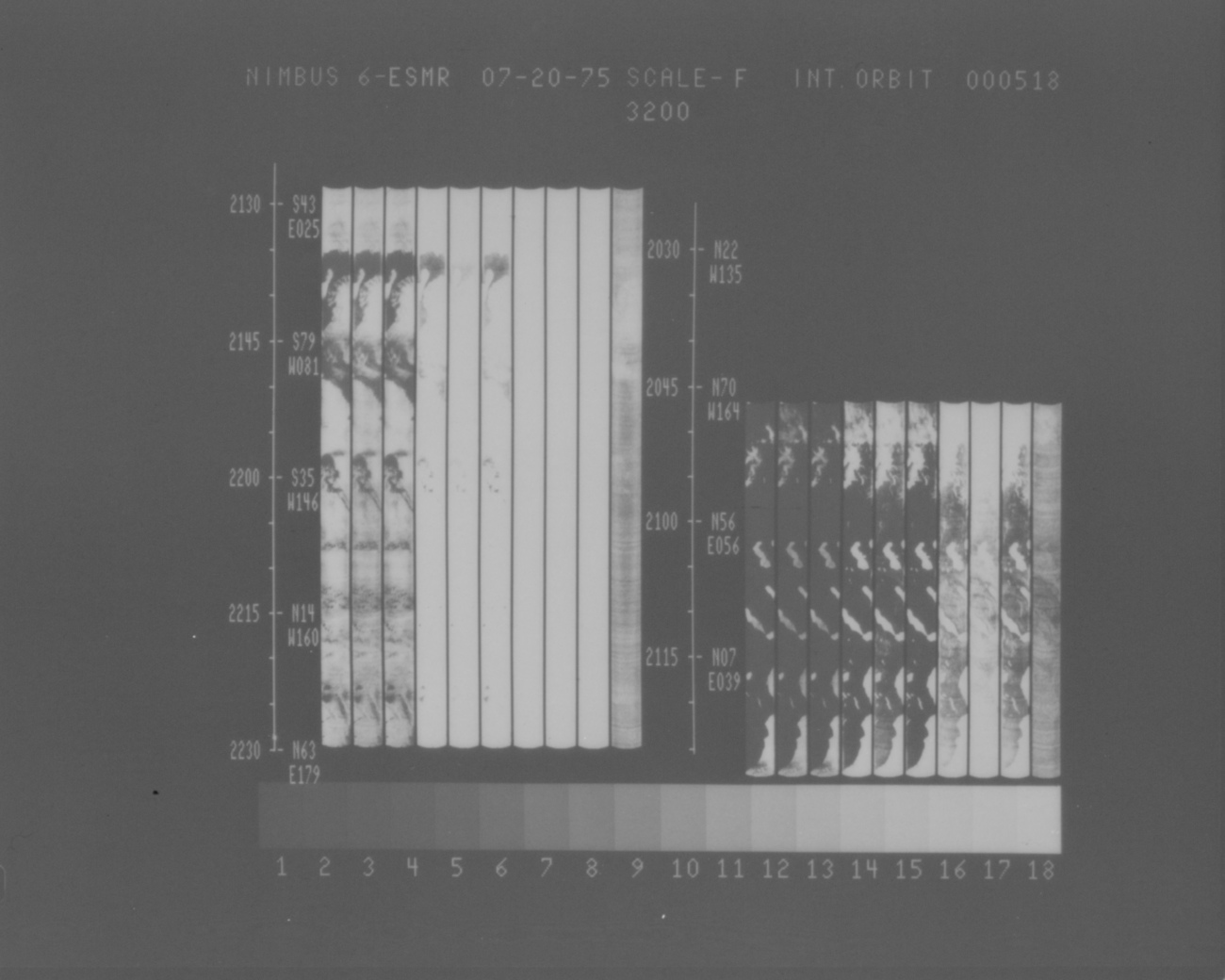
ESMR/Nimbus-6 Images of Brightness Temperature on 70 mm Film V001 (ESMRN6IM) at GES DISC
National Aeronautics and Space Administration —
ESMRN6IM is the Nimbus-6 Electrically Scanning Microwave Radiometer (ESMR) data product containing daily brightness temperature images from 70-mm photofacsimile film... -
Federal
CERES Bidirectional Scans Terra FM2 Edition1-CV
National Aeronautics and Space Administration —
CER_BDS_Terra-FM2_Edition1-CV is the Clouds and the Earth's Radiant Energy System (CERES) Bidirectional Scans (BDS) Terra Flight Model 2 (FM2) Edition1-CV data... -
Federal
TOMS Nimbus-7 UV-B Erythemal Local Noon Irradiance Daily L3 Global 1 deg x 1.25 deg Lat/Lon Grid V008 (TOMSN7L3dery) at GES DISC
National Aeronautics and Space Administration —
This Nimbus-7 Total Ozone Mapping Spectrometer (TOMS) version 8 daily global gridded data product contains UV-B erythemal local noon irradiance values. The data are... -
Federal
TOMS Earth Probe Total Column Ozone Daily L3 Global 1 deg x 1.25 deg Lat/Lon Grid V008 (TOMSEPL3dtoz) at GES DISC
National Aeronautics and Space Administration —
This Earth Probe (EP) Total Ozone Mapping Spectrometer (TOMS) version 8 daily global gridded data product contains total column ozone values. The data are mapped to a... -
Federal
Permafrost Map for Northwestern Canada (Mackenzie Region), Version 1
National Aeronautics and Space Administration —
The Permafrost Map for Northwestern Canada (Mackenzie Region) is a digital version of the 1:1,000,000 map produced by Heginbottom and Radburn [Heginbottom, J.A. and... -
Federal
LBA-ECO LC-03 Hypsography, Rivers, Roads, and DEM, Four Areas across Brazilian Amazon
National Aeronautics and Space Administration —
This data set provides four related spatial data products for four study areas across the Brazilian Amazon: Manaus, Amazonas; Tapajos National Forest, Para Western...

Official websites use .gov
A
.gov website belongs to an official government
organization in the United States.
Secure .gov websites use HTTPS
A
lock (
) or https:// means you’ve safely connected to
the .gov website. Share sensitive information only on official,
secure websites.