
-
Federal
Shuttle Radar Topography Mission DTED Level 1 (3-arc second) Data (DTED-1) 42 recent views
National Aeronautics and Space Administration —
The Shuttle Radar Topography Mission (SRTM) successfully collected Interferometric Synthetic Aperture Radar (IFSAR) data over 80 percent of the landmass of the Earth... -
Federal
World Glacier Inventory, Version 1 14 recent views
National Aeronautics and Space Administration —
The World Glacier Inventory (WGI) contains information for over 130,000 glaciers, or about 85% of the total estimated number of glaciers. Inventory parameters include... -
Federal
LVIS Classic L2 Geolocated Surface Elevation and Canopy Height Product V001 14 recent views
National Aeronautics and Space Administration —
This data set contains Level-2 geolocated surface elevation and canopy height measurements collected by the NASA Land, Vegetation, and Ice Sensor (LVIS) Facility, an... -
Federal
ASTER Global DEM NGDA 14 recent views
National Aeronautics and Space Administration —
ASTER is capable of collecting in-track stereo using nadir- and aft-looking near infrared cameras. Since 2001, these stereo pairs have been used to produce single-... -
Federal
BOREAS RSS-16 Level-3b DC-8 AIRSAR SY Images 13 recent views
National Aeronautics and Space Administration —
Satellite and aircraft SAR data used in conjunction with various ground measurements to determine the moisture regime of the boreal forest. The NASA JPL AIRSAR is a... -
Federal
National Oceanic and Atmospheric Administration (NOAA) 12 recent views
National Aeronautics and Space Administration —
NOAA measurements from 1996 to 1999 along the Eastern US coastal region. -
Federal
Shuttle Radar Topography Mission (SRTM) Version 2 10 recent views
National Aeronautics and Space Administration —
NASA has released version 2 of the Shuttle Radar Topography Mission digital topographic data (also known as the "finished" version). Version 2 is the result of a... -
Federal
Effects of Climate Change on Global Food Production from SRES Emissions and Socioeconomic Scenarios
National Aeronautics and Space Administration —
The Effects of Climate Change on Global Food Production from SRES Emissions and Socioeconomic Scenarios is an update to a major crop modeling study by the NASA... -
Federal
Global Multi-resolution Terrain Elevation Data 2010 (GMTED2010)
National Aeronautics and Space Administration —
The USGS and the NGA have collaborated on the development of a notably enhanced global elevation model named the GMTED2010 that replaces GTOPO30 as the elevation... -
Federal
GLDAS Noah Land Surface Model L4 monthly 0.25 x 0.25 degree V2.0 (GLDAS_NOAH025_M) at GES DISC
National Aeronautics and Space Administration —
NASA Global Land Data Assimilation System Version 2 (GLDAS-2) has three components: GLDAS-2.0, GLDAS-2.1, and GLDAS-2.2. GLDAS-2.0 is forced entirely with the... -
Federal
SRTM Water Body Data
National Aeronautics and Space Administration —
The SRTM Water Body Data files are a by-product of the data editing performed by the National Geospatial-Intelligence Agency (NGA) to produce the finished SRTM... -
Federal
Shuttle Radar Topography Mission (SRTM) Images
National Aeronautics and Space Administration —
Culminating more than four years of processing data, NASA and the National Geospatial-Intelligence Agency (NGA) have completed Earth's most extensive global... -
Federal
Global Gridded Geographically Based Economic Data (G-Econ), Version 4
National Aeronautics and Space Administration —
The Global Gridded Geographically Based Economic Data (G-Econ), Version 4 contains derived one degree grid cells of Gross Domestic Product (GDP) data in Grid and... -
Federal
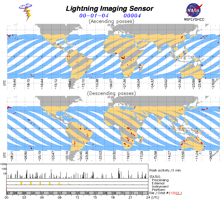
Lightning Imaging Sensor (LIS) on TRMM Science Data V4
National Aeronautics and Space Administration —
The Lightning Imaging Sensor (LIS) Science Data was collected by the LIS instrument on the Tropical Rainfall Measuring Mission (TRMM) satellite used to detect the... -
Federal
Shuttle Radar Topography Mission 1-arc second Global
National Aeronautics and Space Administration —
The Shuttle Radar Topography Mission (SRTM) was flown aboard the space shuttle Endeavour February 11-22, 2000. The National Aeronautics and Space Administration... -
Federal
ASTER Global Digital Elevation Model NetCDF V003 NGDA
National Aeronautics and Space Administration —
The ASTER Global Digital Elevation Model (GDEM) Version 3 (ASTGTM) provides a global digital elevation model (DEM) of land areas on Earth at a spatial resolution of 1... -
Federal
MISR L2 TOA/Cloud Stereo Product subset for the INTEX-B region V002
National Aeronautics and Space Administration —
MISR Level 2 TOA/Cloud Stereo Product containing the Stereoscopically Derived Cloud Mask (SDCM), cloud winds, Reflecting Level Reference Altitude (RLRA), with... -
Federal
GLAS/ICESat L2 Sea Ice Altimetry Data (HDF5) V034
National Aeronautics and Space Administration —
GLAH06 is used in conjunction with GLAH05 to create the Level-2 altimetry products. Level-2 altimetry data provide surface elevations for ice sheets (GLAH12), sea ice... -
Federal
TROPESS CrIS-SNPP L2 Peroxyacetyl Nitrate for West Coast Fires, Standard Product V1 (TRPSDL2PANCRSWCF) at GES DISC
National Aeronautics and Space Administration —
The TROPESS CrIS-SNPP L2 Peroxyacetyl Nitrate for West Coast Fires, Standard Product contains the vertical distribution of the retrieved atmospheric state of... -
Federal
GTOPO30 Hydro 1K
National Aeronautics and Space Administration —
HYDRO1k is a geographic database developed to provide comprehensive and consistent global coverage of topographically derived data sets, including streams, drainage...

Official websites use .gov
A
.gov website belongs to an official government
organization in the United States.
Secure .gov websites use HTTPS
A
lock (
) or https:// means you’ve safely connected to
the .gov website. Share sensitive information only on official,
secure websites.