
-
Federal
Georeferenced Population Datasets of Mexico (GEO-MEX): GIS of Mexican States, Municipalities and Islands 33 recent views
National Aeronautics and Space Administration —
The GIS of Mexican States, Municipalities and Islands consists of attribute and boundary data for 1990. The attribute data include population, language, education,... -
Federal
BOREAS RSS-16 Level-3b DC-8 AIRSAR SY Images 13 recent views
National Aeronautics and Space Administration —
Satellite and aircraft SAR data used in conjunction with various ground measurements to determine the moisture regime of the boreal forest. The NASA JPL AIRSAR is a... -
Federal
Shuttle Radar Topography Mission (SRTM) Version 2 13 recent views
National Aeronautics and Space Administration —
NASA has released version 2 of the Shuttle Radar Topography Mission digital topographic data (also known as the "finished" version). Version 2 is the result of a... -
Federal
Global Gridded Geographically Based Economic Data (G-Econ), Version 4 13 recent views
National Aeronautics and Space Administration —
The Global Gridded Geographically Based Economic Data (G-Econ), Version 4 contains derived one degree grid cells of Gross Domestic Product (GDP) data in Grid and... -
Federal
National Oceanic and Atmospheric Administration (NOAA) 12 recent views
National Aeronautics and Space Administration —
NOAA measurements from 1996 to 1999 along the Eastern US coastal region. -
Federal
CYGNSS Level 1 Raw Intermediate Frequency Data Record 12 recent views
National Aeronautics and Space Administration —
This Level 1 (L1) dataset contains the Raw Intermediate Frequency (IF) sensor data from the Delay Doppler Mapping Instrument aboard the CYGNSS satellite... -
Federal
Georeferenced Population Datasets of Mexico (GEO-MEX): Urban Place GIS Coverage of Mexico 11 recent views
National Aeronautics and Space Administration —
The Urban Place GIS Coverage of Mexico is a vector based point Geographic Information System (GIS) coverage of 696 urban places in Mexico. Each Urban Place is... -
Federal
GLDAS Noah Land Surface Model L4 monthly 0.25 x 0.25 degree V2.0 (GLDAS_NOAH025_M) at GES DISC 10 recent views
National Aeronautics and Space Administration —
NASA Global Land Data Assimilation System Version 2 (GLDAS-2) has three components: GLDAS-2.0, GLDAS-2.1, and GLDAS-2.2. GLDAS-2.0 is forced entirely with the... -
Federal
ASTER Global DEM NGDA 10 recent views
National Aeronautics and Space Administration —
ASTER is capable of collecting in-track stereo using nadir- and aft-looking near infrared cameras. Since 2001, these stereo pairs have been used to produce single-... -
Federal
India Village-Level Geospatial Socio-Economic Data Set: 1991, 2001
National Aeronautics and Space Administration —
The India Village-Level Geospatial Socio-Economic Data Set: 1991, 2001 is a compilation of the finest level of administrative boundaries in India (village/town-level)... -
Federal
Effects of Climate Change on Global Food Production from SRES Emissions and Socioeconomic Scenarios
National Aeronautics and Space Administration —
The Effects of Climate Change on Global Food Production from SRES Emissions and Socioeconomic Scenarios is an update to a major crop modeling study by the NASA... -
Federal
Shuttle Radar Topography Mission 1-arc second Global
National Aeronautics and Space Administration —
The Shuttle Radar Topography Mission (SRTM) was flown aboard the space shuttle Endeavour February 11-22, 2000. The National Aeronautics and Space Administration... -
Federal
MODIS/Aqua Clouds 5-Min L2 Swath 1km and 5km NGDA
National Aeronautics and Space Administration —
The MODIS/Aqua Clouds 5-Min L2 Swath 1km and 5km product consists of cloud optical and physical parameters. The cloud optical parameters are generated at 1km and... -
Federal
NASA Shuttle Radar Topography Mission Global 1 arc second V003
National Aeronautics and Space Administration —
The Land Processes Distributed Active Archive Center (LP DAAC) is responsible for the archive and distribution of the NASA Making Earth System Data Records for Use in... -
Federal
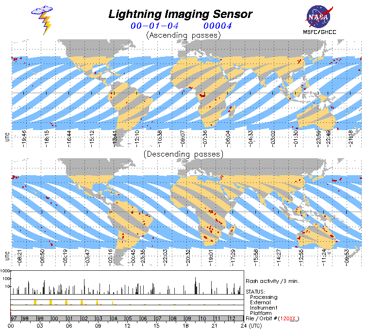
Lightning Imaging Sensor (LIS) on TRMM Science Data V4
National Aeronautics and Space Administration —
The Lightning Imaging Sensor (LIS) Science Data was collected by the LIS instrument on the Tropical Rainfall Measuring Mission (TRMM) satellite used to detect the... -
Federal
MISR L2 TOA/Cloud Stereo Product subset for the INTEX-B region V002
National Aeronautics and Space Administration —
MISR Level 2 TOA/Cloud Stereo Product containing the Stereoscopically Derived Cloud Mask (SDCM), cloud winds, Reflecting Level Reference Altitude (RLRA), with... -
Federal
Global Urban Heat Island (UHI) Data Set, 2013
National Aeronautics and Space Administration —
The Urban Heat Island (UHI) effect represents the relatively higher temperatures found in urban areas compared to surrounding rural areas owing to higher proportions... -
Federal
TROPESS CrIS-SNPP L2 Peroxyacetyl Nitrate for West Coast Fires, Standard Product V1 (TRPSDL2PANCRSWCF) at GES DISC
National Aeronautics and Space Administration —
The TROPESS CrIS-SNPP L2 Peroxyacetyl Nitrate for West Coast Fires, Standard Product contains the vertical distribution of the retrieved atmospheric state of... -
Federal
GLDAS Noah Land Surface Model L4 monthly 0.25 x 0.25 degree V2.1 (GLDAS_NOAH025_M) at GES DISC
National Aeronautics and Space Administration —
NASA Global Land Data Assimilation System Version 2 (GLDAS-2) has three components: GLDAS-2.0, GLDAS-2.1, and GLDAS-2.2. GLDAS-2.0 is forced entirely with the... -
Federal
SLSTR/Sentinel-3B L1 Full Resolution Top of Atmosphere Radiances and Brightness Temperature
National Aeronautics and Space Administration —
The SLSTR/Sentinel-3B L1 Full Resolution Top of Atmosphere Radiances and Brightness Temperature product with shortname S3B_SL_1_RBT, is generated from the data...

Official websites use .gov
A
.gov website belongs to an official government
organization in the United States.
Secure .gov websites use HTTPS
A
lock (
) or https:// means you’ve safely connected to
the .gov website. Share sensitive information only on official,
secure websites.